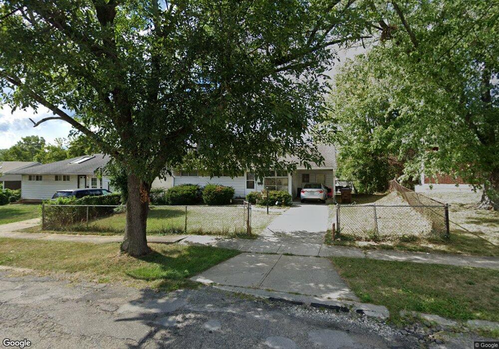
1280 Madeleine Cir Cincinnati, OH 45231
Finneytown NeighborhoodEstimated Value: $154,000 - $192,000
3
Beds
2
Baths
1,388
Sq Ft
$123/Sq Ft
Est. Value
About This Home
This home is located at 1280 Madeleine Cir, Cincinnati, OH 45231 and is currently estimated at $170,909, approximately $123 per square foot. 1280 Madeleine Cir is a home located in Hamilton County with nearby schools including Mt Healthy High School, John Paul II Catholic School, and Central Baptist Academy.
Ownership History
Date
Name
Owned For
Owner Type
Purchase Details
Closed on
Jun 3, 2016
Sold by
Golden Real Estate
Bought by
Generation Two Properties Llc
Current Estimated Value
Purchase Details
Closed on
Jul 20, 2005
Sold by
Asher Joseph and Asher Melissa
Bought by
Hail Deborah R
Home Financials for this Owner
Home Financials are based on the most recent Mortgage that was taken out on this home.
Original Mortgage
$86,500
Interest Rate
7.25%
Mortgage Type
Fannie Mae Freddie Mac
Purchase Details
Closed on
Jan 20, 2005
Sold by
Wells Fargo Bank Minnesota Na
Bought by
Asher Joseph
Purchase Details
Closed on
Jun 16, 2004
Sold by
Howard Walter G
Bought by
Wells Fargo Bank Minnesota Na and Equivantage Home Equity Loan Trust 1997-
Purchase Details
Closed on
Jul 30, 1994
Sold by
Jacobs Milton A and Jacobs Lovie
Bought by
Howard Walter G
Home Financials for this Owner
Home Financials are based on the most recent Mortgage that was taken out on this home.
Original Mortgage
$51,000
Interest Rate
9%
Mortgage Type
VA
Create a Home Valuation Report for This Property
The Home Valuation Report is an in-depth analysis detailing your home's value as well as a comparison with similar homes in the area
Home Values in the Area
Average Home Value in this Area
Purchase History
| Date | Buyer | Sale Price | Title Company |
|---|---|---|---|
| Generation Two Properties Llc | $42,500 | Chicago Title | |
| Hail Deborah R | $86,500 | Superior Title Agency Inc | |
| Asher Joseph | $41,200 | Magee Title Agency | |
| Wells Fargo Bank Minnesota Na | $55,500 | -- | |
| Howard Walter G | -- | Midland Title Security Inc |
Source: Public Records
Mortgage History
| Date | Status | Borrower | Loan Amount |
|---|---|---|---|
| Previous Owner | Hail Deborah R | $86,500 | |
| Previous Owner | Howard Walter G | $51,000 |
Source: Public Records
Tax History Compared to Growth
Tax History
| Year | Tax Paid | Tax Assessment Tax Assessment Total Assessment is a certain percentage of the fair market value that is determined by local assessors to be the total taxable value of land and additions on the property. | Land | Improvement |
|---|---|---|---|---|
| 2024 | $2,186 | $37,811 | $4,956 | $32,855 |
| 2023 | $2,077 | $37,811 | $4,956 | $32,855 |
| 2022 | $1,277 | $16,664 | $4,907 | $11,757 |
| 2021 | $1,243 | $16,664 | $4,907 | $11,757 |
| 2020 | $1,262 | $16,664 | $4,907 | $11,757 |
| 2019 | $1,249 | $15,428 | $4,543 | $10,885 |
| 2018 | $1,256 | $15,428 | $4,543 | $10,885 |
| 2017 | $1,192 | $15,428 | $4,543 | $10,885 |
| 2016 | $1,891 | $24,249 | $4,904 | $19,345 |
| 2015 | $1,906 | $24,249 | $4,904 | $19,345 |
| 2014 | $1,897 | $24,249 | $4,904 | $19,345 |
| 2013 | $1,954 | $25,526 | $5,163 | $20,363 |
Source: Public Records
Map
Nearby Homes
- 8840 Grenada Dr
- 8734 Grenada Dr
- 8831 Daly Rd
- 8772 Balboa Dr
- 8681 Desoto Dr
- 8950 Daly Rd
- 8925 Monsanto Dr
- 1190 Sugartree Ct
- 1277 Prospect Place
- 1458 Van Fleet Ave
- 1151 Hempstead Dr
- 1478 Foxwood Dr
- 1100 Gracewind Ct
- 7504 Elizabeth St
- 7508 Elizabeth St
- 8627 Mockingbird Ln
- 8622 Mockingbird Ln
- 8491 Daly Rd
- 1514 Compton Rd
- 7617 Elizabeth St
- 1284 Madeleine Cir
- 1288 Madeleine Cir
- 1276 Madeleine Cir
- 8860 Ebro Ct
- 1292 Madeleine Cir
- 8868 Ebro Ct
- 8852 Ebro Ct
- 1283 Madeleine Cir
- 1275 Madeleine Cir
- 1272 Madeleine Cir
- 8876 Ebro Ct
- 1287 Madeleine Cir
- 1296 Madeleine Cir
- 1291 Madeleine Cir
- 1267 Madeleine Cir
- 8884 Ebro Ct
- 1268 Madeleine Cir
- 8844 Ebro Ct
- 1295 Madeleine Cir
- 1300 Madeleine Cir