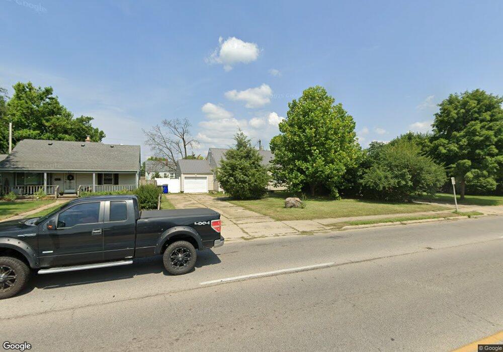
1280 Main St Hamilton, OH 45013
Estimated Value: $196,145 - $230,000
3
Beds
1
Bath
1,238
Sq Ft
$170/Sq Ft
Est. Value
About This Home
This home is located at 1280 Main St, Hamilton, OH 45013 and is currently estimated at $210,036, approximately $169 per square foot. 1280 Main St is a home located in Butler County with nearby schools including Highland Elementary School, Wilson Middle School, and Hamilton High School Main Campus.
Ownership History
Date
Name
Owned For
Owner Type
Purchase Details
Closed on
Feb 2, 2022
Sold by
Dale Fisher Howard
Bought by
Howard Dale Fisher Properties Llc
Current Estimated Value
Purchase Details
Closed on
Oct 18, 2017
Sold by
Peters Larry W and Peters Larry Wayne
Bought by
Fisher Howard Dale
Purchase Details
Closed on
Mar 31, 2009
Sold by
Abney O Wayne
Bought by
Peters Larry W
Home Financials for this Owner
Home Financials are based on the most recent Mortgage that was taken out on this home.
Original Mortgage
$100,053
Interest Rate
5.11%
Mortgage Type
FHA
Purchase Details
Closed on
Sep 2, 2008
Sold by
Abney Wayne
Bought by
Bruck Roberta
Purchase Details
Closed on
Aug 25, 2008
Sold by
Splichal Jody L
Bought by
Abney O Wayne
Purchase Details
Closed on
Jan 25, 2006
Sold by
Washington Enterprises Inc
Bought by
Splichal Jody L
Purchase Details
Closed on
Mar 19, 2004
Sold by
Splichal Jody L
Bought by
Washington Enterprises Inc
Purchase Details
Closed on
Dec 9, 2002
Sold by
Bagley Ronald
Bought by
Splichal Jody L
Home Financials for this Owner
Home Financials are based on the most recent Mortgage that was taken out on this home.
Original Mortgage
$96,000
Interest Rate
6.23%
Mortgage Type
Purchase Money Mortgage
Purchase Details
Closed on
Jun 24, 2002
Sold by
Bagley Tiffiny
Bought by
Bagley Ronald
Home Financials for this Owner
Home Financials are based on the most recent Mortgage that was taken out on this home.
Original Mortgage
$85,000
Interest Rate
6.91%
Mortgage Type
Purchase Money Mortgage
Purchase Details
Closed on
Dec 23, 1999
Sold by
Rhodus Kenneth L
Bought by
Bagley Ronald
Home Financials for this Owner
Home Financials are based on the most recent Mortgage that was taken out on this home.
Original Mortgage
$69,900
Interest Rate
11.54%
Mortgage Type
Purchase Money Mortgage
Purchase Details
Closed on
Jun 1, 1988
Create a Home Valuation Report for This Property
The Home Valuation Report is an in-depth analysis detailing your home's value as well as a comparison with similar homes in the area
Home Values in the Area
Average Home Value in this Area
Purchase History
| Date | Buyer | Sale Price | Title Company |
|---|---|---|---|
| Howard Dale Fisher Properties Llc | -- | Gudorf Law Group Llc | |
| Fisher Howard Dale | $65,200 | None Available | |
| Peters Larry W | $101,900 | Republic Title Agency Inc | |
| Bruck Roberta | $70,000 | Attorney | |
| Abney O Wayne | $58,100 | None Available | |
| Splichal Jody L | -- | None Available | |
| Washington Enterprises Inc | -- | -- | |
| Splichal Jody L | $99,000 | Oxford Title Agency Inc | |
| Bagley Ronald | -- | Jets Title Agency Llc | |
| Bagley Ronald | $69,900 | -- | |
| -- | $23,000 | -- |
Source: Public Records
Mortgage History
| Date | Status | Borrower | Loan Amount |
|---|---|---|---|
| Previous Owner | Peters Larry W | $100,053 | |
| Previous Owner | Splichal Jody L | $96,000 | |
| Previous Owner | Bagley Ronald | $85,000 | |
| Previous Owner | Bagley Ronald | $69,900 |
Source: Public Records
Tax History
| Year | Tax Paid | Tax Assessment Tax Assessment Total Assessment is a certain percentage of the fair market value that is determined by local assessors to be the total taxable value of land and additions on the property. | Land | Improvement |
|---|---|---|---|---|
| 2025 | $2,067 | $47,710 | $8,510 | $39,200 |
| 2024 | $2,067 | $47,710 | $8,510 | $39,200 |
| 2023 | $2,057 | $48,150 | $8,510 | $39,640 |
| 2022 | $1,831 | $35,920 | $8,510 | $27,410 |
| 2021 | $1,616 | $34,760 | $8,510 | $26,250 |
| 2020 | $1,683 | $34,760 | $8,510 | $26,250 |
| 2019 | $2,037 | $27,820 | $9,220 | $18,600 |
| 2018 | $1,330 | $27,820 | $9,220 | $18,600 |
| 2017 | $1,341 | $27,820 | $9,220 | $18,600 |
| 2016 | $1,360 | $27,640 | $9,220 | $18,420 |
| 2015 | $1,352 | $27,640 | $9,220 | $18,420 |
| 2014 | $1,481 | $27,640 | $9,220 | $18,420 |
| 2013 | $1,481 | $32,240 | $9,220 | $23,020 |
Source: Public Records
Map
Nearby Homes
- 46 Lexington Dr
- 146 Winston Dr
- 64 Brookwood Ave
- 177 Thomas Blvd
- 1401 Park Ave
- 1263 Park Ave
- 1116 Azel Ave
- 900 N Lawn Ave
- 987 Carlisle Ave
- 1460 Lawrence Ave
- 925 Carlisle Ave
- 824 Carlisle Ave
- 850 NW Washington Blvd
- 1365 Taft Place
- 1326 Franklin St
- 22 Hughes Ct
- 805 Eaton Ave
- 55 Cove Ct
- 1192 Deerfield Cir Unit 35
- 1044 Hunt Ave
Your Personal Tour Guide
Ask me questions while you tour the home.