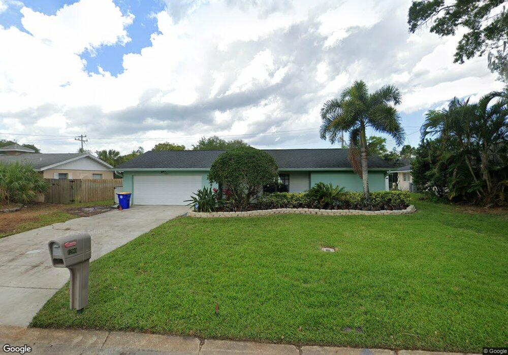
1280 Saint Andrews Dr Rockledge, FL 32955
Estimated Value: $376,000 - $422,000
3
Beds
2
Baths
2,118
Sq Ft
$186/Sq Ft
Est. Value
About This Home
This home is located at 1280 Saint Andrews Dr, Rockledge, FL 32955 and is currently estimated at $393,751, approximately $185 per square foot. 1280 Saint Andrews Dr is a home located in Brevard County with nearby schools including Golfview Elementary School, John F. Kennedy Middle School, and Rockledge Senior High School.
Ownership History
Date
Name
Owned For
Owner Type
Purchase Details
Closed on
Jan 23, 2020
Sold by
Panzini Leonard and Panzini Carolann
Bought by
Panzini Leonard J and Panzini Carolann
Current Estimated Value
Purchase Details
Closed on
Mar 31, 2003
Sold by
Shaker Mohamed A and Shaker Ons M
Bought by
Panzini Leonard and Panzini Carolann
Home Financials for this Owner
Home Financials are based on the most recent Mortgage that was taken out on this home.
Original Mortgage
$81,000
Outstanding Balance
$34,772
Interest Rate
5.74%
Estimated Equity
$358,979
Create a Home Valuation Report for This Property
The Home Valuation Report is an in-depth analysis detailing your home's value as well as a comparison with similar homes in the area
Home Values in the Area
Average Home Value in this Area
Purchase History
| Date | Buyer | Sale Price | Title Company |
|---|---|---|---|
| Panzini Leonard J | -- | Attorney | |
| Panzini Leonard | $151,500 | -- |
Source: Public Records
Mortgage History
| Date | Status | Borrower | Loan Amount |
|---|---|---|---|
| Open | Panzini Leonard | $81,000 |
Source: Public Records
Tax History Compared to Growth
Tax History
| Year | Tax Paid | Tax Assessment Tax Assessment Total Assessment is a certain percentage of the fair market value that is determined by local assessors to be the total taxable value of land and additions on the property. | Land | Improvement |
|---|---|---|---|---|
| 2025 | $1,407 | $128,050 | -- | -- |
| 2024 | $1,379 | $124,450 | -- | -- |
| 2023 | $1,379 | $120,830 | $0 | $0 |
| 2022 | $1,277 | $117,320 | $0 | $0 |
| 2021 | $1,287 | $113,910 | $0 | $0 |
| 2020 | $1,276 | $111,890 | $0 | $0 |
| 2019 | $1,261 | $109,380 | $0 | $0 |
| 2018 | $1,257 | $107,350 | $0 | $0 |
| 2017 | $1,257 | $105,150 | $0 | $0 |
| 2016 | $1,261 | $102,990 | $25,000 | $77,990 |
| 2015 | $1,287 | $102,280 | $22,000 | $80,280 |
| 2014 | $1,281 | $101,470 | $22,000 | $79,470 |
Source: Public Records
Map
Nearby Homes
- 1292 Saint Andrews Dr
- 1221 Saint Andrews Dr
- 1303 Georgia Ave
- 1355 Gleneagles Way
- 1107 Woodlawn Rd
- 1387 Gleneagles Ct
- 1428 Gleneagles Way
- 1122 Manatee Dr
- 1131 Tarpon Dr
- 1400 Hoy Lake Ct
- 1044 Pompano Dr
- 980 Miracle Way
- 1600 Woodland Dr Unit 4105
- 1600 Woodland Dr Unit 4205
- 1600 Woodland Dr Unit 8209
- 1600 Woodland Dr Unit 4206
- 1009 S Fiske Blvd
- 935 S Varr Ave
- 0 Barton Blvd E Unit 23200182
- 1675 S Fiske Blvd Unit 156
- 1276 Saint Andrews Dr
- 1284 Saint Andrews Dr
- 1279 Troon Way
- 1283 Troon Way
- 1275 Troon Way
- 1288 Saint Andrews Dr
- 1272 Saint Andrews Dr
- 1279 Saint Andrews Dr
- 1283 Saint Andrews Dr
- 1287 Troon Way
- 1271 Troon Way
- 1275 Saint Andrews Dr
- 1268 Saint Andrews Dr
- 1291 Troon Way
- 1291 Saint Andrews Dr
- 1278 Troon Way
- 1136 Wentworth Cir
- 1284 Troon Way
- 1285 Turnberry Ct
- 1267 Saint Andrews Cir