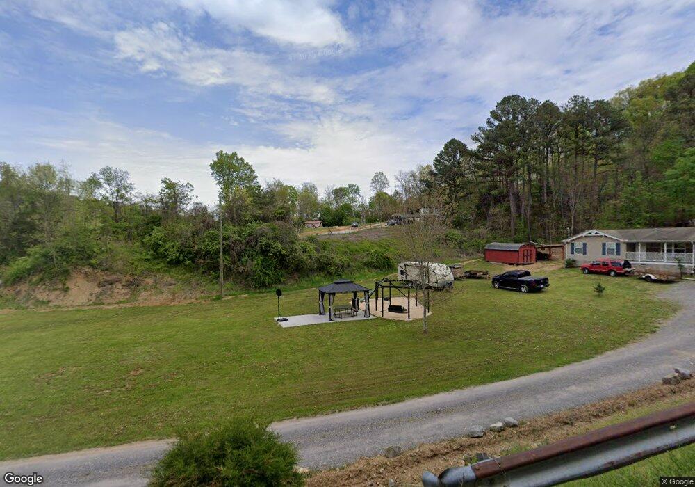
1280 Statem Gap Rd Morristown, TN 37813
Estimated Value: $149,000 - $223,000
3
Beds
2
Baths
1,110
Sq Ft
$169/Sq Ft
Est. Value
About This Home
This home is located at 1280 Statem Gap Rd, Morristown, TN 37813 and is currently estimated at $187,333, approximately $168 per square foot. 1280 Statem Gap Rd is a home located in Hamblen County with nearby schools including Witt Elementary School, Lincoln Heights Middle School, and Morristown West High School.
Ownership History
Date
Name
Owned For
Owner Type
Purchase Details
Closed on
Feb 8, 2011
Sold by
Greene Anna
Bought by
Greene Ronnie
Current Estimated Value
Purchase Details
Closed on
Jul 22, 2008
Bought by
Greene Ronnie
Purchase Details
Closed on
Nov 29, 2004
Bought by
Carter Cathy
Purchase Details
Closed on
Mar 15, 1995
Sold by
Greene Helen
Bought by
Charles Greene
Purchase Details
Closed on
Dec 9, 1986
Bought by
Burger Mary S L and Burger E
Purchase Details
Closed on
Jun 7, 1986
Bought by
Burger Mary S L and Burger E
Purchase Details
Closed on
Aug 24, 1981
Purchase Details
Closed on
Apr 26, 1974
Bought by
Green Elmer and Green Helen
Create a Home Valuation Report for This Property
The Home Valuation Report is an in-depth analysis detailing your home's value as well as a comparison with similar homes in the area
Home Values in the Area
Average Home Value in this Area
Purchase History
| Date | Buyer | Sale Price | Title Company |
|---|---|---|---|
| Greene Ronnie | $9,875 | -- | |
| Greene Ronnie | $9,300 | -- | |
| Carter Cathy | $20,000 | -- | |
| Charles Greene | $11,200 | -- | |
| Burger Mary S L | $100 | -- | |
| Burger Mary S L | $5,000 | -- | |
| -- | $21,000 | -- | |
| Green Elmer | $3,000 | -- |
Source: Public Records
Tax History
| Year | Tax Paid | Tax Assessment Tax Assessment Total Assessment is a certain percentage of the fair market value that is determined by local assessors to be the total taxable value of land and additions on the property. | Land | Improvement |
|---|---|---|---|---|
| 2025 | $687 | $46,725 | $6,925 | $39,800 |
| 2024 | $416 | $21,100 | $4,125 | $16,975 |
| 2023 | $416 | $21,100 | $0 | $0 |
| 2022 | $416 | $21,100 | $4,125 | $16,975 |
| 2021 | $416 | $21,100 | $4,125 | $16,975 |
| 2020 | $416 | $21,100 | $4,125 | $16,975 |
| 2019 | $437 | $20,500 | $4,125 | $16,375 |
| 2018 | $437 | $20,500 | $4,125 | $16,375 |
| 2017 | $437 | $20,500 | $4,125 | $16,375 |
| 2016 | $403 | $20,250 | $4,125 | $16,125 |
| 2015 | $375 | $20,250 | $4,125 | $16,125 |
| 2014 | -- | $20,250 | $4,125 | $16,125 |
| 2013 | -- | $22,775 | $0 | $0 |
Source: Public Records
Map
Nearby Homes
- 1160 Statem Gap Rd
- 453 Statem Gap Rd
- 1951 Sykes Rd
- 2851 Coffey Rd
- 3440 Sulphur Springs Rd
- 1100 Valley Home Rd
- 2895 Coffey Rd
- 2540 Castain Dr
- 586 Randolph Dr
- 701 Old Witt Rd
- 2061 Southwood Cir
- 203 Lincoln Ave
- 1049 Greenway Dr
- 715 Lincoln Ave
- 1500 S Davy Crockett Pkwy
- 3023 S Davy Crockett Pkwy
- 3360 Fernwood Rd
- 925 Lennie Ave
- 440 S Fairmont Ave
- 429 Valley St
- 1361 Mae Collins Rd
- 1375 Mae Collins Rd
- 1390 Pine Brooke Rd
- 1362 Mae Collins Rd
- 1332 Mae Collins Rd
- 1282 Sawyers Rd
- 1331 Mae Collins Rd
- 1382 Mae Collins Rd
- 1005 Pine Brooke Rd
- 1395 Mae Collins Rd
- 1175 Statem Gap Rd
- 1400 Pine Brooke Rd
- 1295 Sawyers Rd
- 987 Pine Brooke Rd
- 1376 Mae Collins Rd
- 748 Statem Gap Rd
- 1380 Mae Collins Rd
- 940 Pine Brooke Rd
- 1287 Sawyers Rd
- 977 Pine Brooke Rd
Your Personal Tour Guide
Ask me questions while you tour the home.