1280 Tristram Cir Unit 1280 Mantua, NJ 08051
Mantua Township NeighborhoodEstimated Value: $201,544 - $239,000
--
Bed
--
Bath
1,062
Sq Ft
$216/Sq Ft
Est. Value
About This Home
This home is located at 1280 Tristram Cir Unit 1280, Mantua, NJ 08051 and is currently estimated at $228,886, approximately $215 per square foot. 1280 Tristram Cir Unit 1280 is a home located in Gloucester County with nearby schools including Centre City School, Clearview Regional Middle School, and Clearview Regional High School.
Ownership History
Date
Name
Owned For
Owner Type
Purchase Details
Closed on
Feb 14, 1997
Sold by
Berkley Associates Llc
Bought by
Hitchins Park and Hitchins Martha S
Current Estimated Value
Home Financials for this Owner
Home Financials are based on the most recent Mortgage that was taken out on this home.
Original Mortgage
$73,950
Outstanding Balance
$8,526
Interest Rate
7.78%
Mortgage Type
FHA
Estimated Equity
$220,360
Create a Home Valuation Report for This Property
The Home Valuation Report is an in-depth analysis detailing your home's value as well as a comparison with similar homes in the area
Home Values in the Area
Average Home Value in this Area
Purchase History
| Date | Buyer | Sale Price | Title Company |
|---|---|---|---|
| Hitchins Park | $76,215 | Settlers Title Agency Lp |
Source: Public Records
Mortgage History
| Date | Status | Borrower | Loan Amount |
|---|---|---|---|
| Open | Hitchins Park | $73,950 |
Source: Public Records
Tax History Compared to Growth
Tax History
| Year | Tax Paid | Tax Assessment Tax Assessment Total Assessment is a certain percentage of the fair market value that is determined by local assessors to be the total taxable value of land and additions on the property. | Land | Improvement |
|---|---|---|---|---|
| 2025 | $4,473 | $173,700 | $50,000 | $123,700 |
| 2024 | $4,426 | $173,700 | $50,000 | $123,700 |
| 2023 | $4,426 | $173,700 | $50,000 | $123,700 |
| 2022 | $4,037 | $115,400 | $40,000 | $75,400 |
| 2021 | $3,877 | $115,400 | $40,000 | $75,400 |
| 2020 | $4,034 | $115,400 | $40,000 | $75,400 |
| 2019 | $3,966 | $115,400 | $40,000 | $75,400 |
| 2018 | $3,910 | $115,400 | $40,000 | $75,400 |
| 2017 | $3,851 | $115,400 | $40,000 | $75,400 |
| 2016 | $3,807 | $115,400 | $40,000 | $75,400 |
| 2015 | $4,071 | $126,500 | $40,000 | $86,500 |
| 2014 | $3,934 | $126,500 | $40,000 | $86,500 |
Source: Public Records
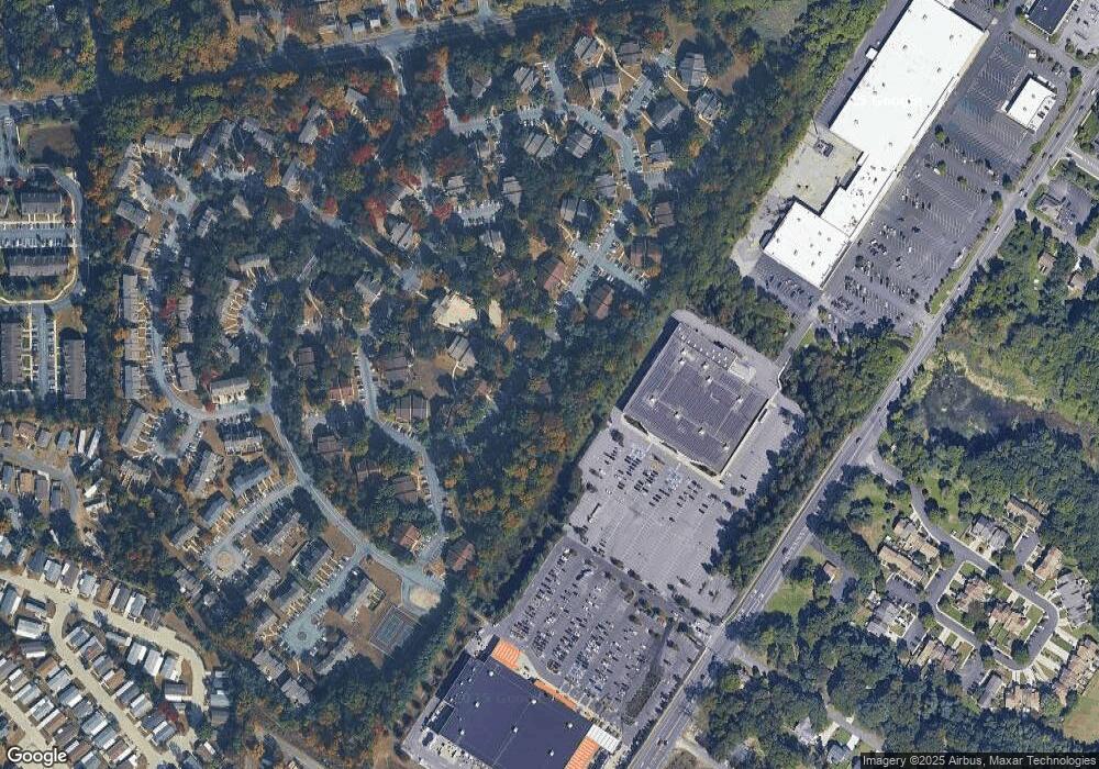
Map
Nearby Homes
- 1147 Tristram Cir Unit 1147
- 1145 Tristram Cir
- 1215 Tristram Cir
- 1134 Tristram Cir Unit 4
- 1433 Tristram Cir
- 8 Barry Dr
- 325 Bridgeton Pike
- 19 Marathon Dr
- 261 Tony Cir
- 205 Redbud Ln Unit 205
- 433 Berkley Rd
- 131 Firth Dr
- 204 W Landing Rd
- 106 Firth Dr
- 119 Monroe Ave
- 485 Harrison Ave
- 190 Mockingbird Ln
- 36 Bluebird Rd
- 75 Hickory Ave
- 465 Berkley Rd
- 1281 Tristram Cir Unit 1281
- 1287 Tristram Cir Unit 1287
- 1282 Tristram Cir
- 1286 Tristram Cir Unit 1286
- 1285 Tristram Cir Unit 1285
- 1283 Tristram Cir Unit 1283
- 1284 Tristram Cir Unit 1284
- 0 Tristram Cir
- 1293 Tristram Cir Unit 1293
- 1292 Tristram Cir Unit 1292
- 1291 Tristram Cir Unit 1291
- 1290 Tristram Cir Unit 1290
- 1297 Tristram Cir Unit 1297
- 1296 Tristram Cir
- 1273 Tristram Cir Unit 1273
- 1274 Tristram Cir Unit 1274
- 1272 Tristram Cir Unit 1272
- 1235 Tristram Cir Unit 1235
- 1236 Tristram Cir Unit 1236
- 1275 Tristram Cir Unit 1275