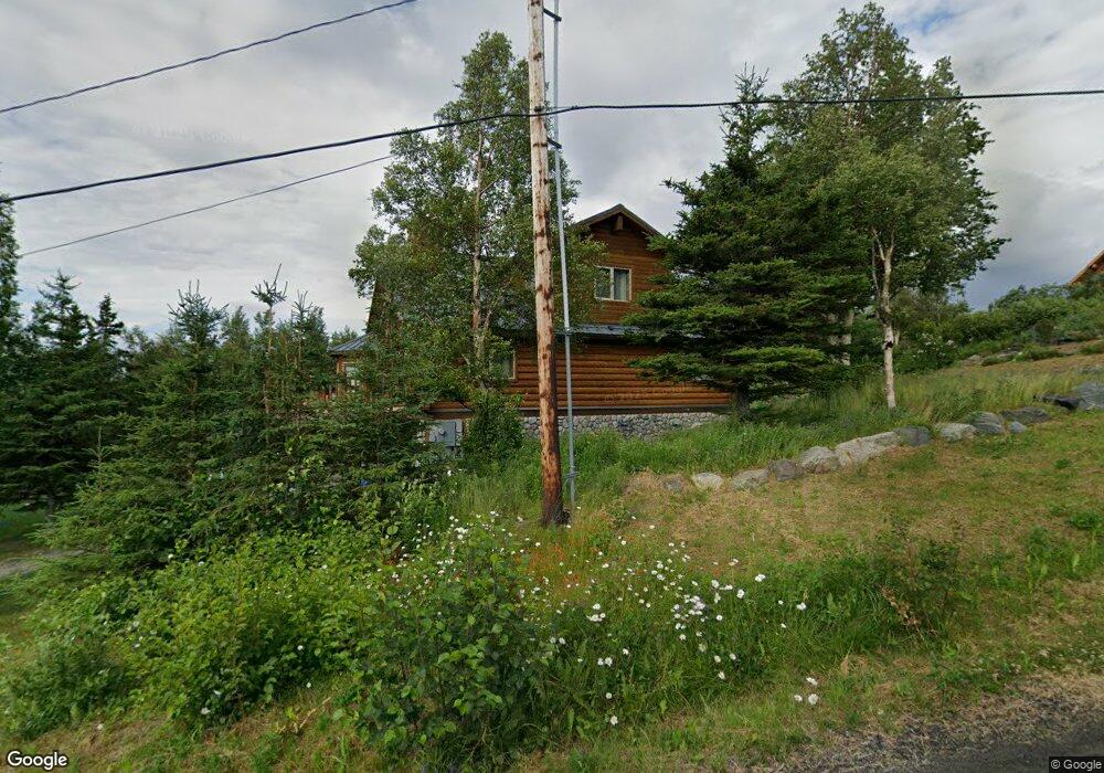
12800 Patrick Rd Anchorage, AK 99516
Hillside East NeighborhoodEstimated Value: $808,000 - $1,021,998
3
Beds
4
Baths
2,943
Sq Ft
$323/Sq Ft
Est. Value
About This Home
This home is located at 12800 Patrick Rd, Anchorage, AK 99516 and is currently estimated at $949,666, approximately $322 per square foot. 12800 Patrick Rd is a home located in Anchorage Municipality with nearby schools including Bear Valley Elementary School, Goldenview Middle School, and South Anchorage High School.
Ownership History
Date
Name
Owned For
Owner Type
Purchase Details
Closed on
Oct 3, 2003
Sold by
Schmidt Wayne J
Bought by
Schmidt Wayne J and Schmidt Marie G
Current Estimated Value
Create a Home Valuation Report for This Property
The Home Valuation Report is an in-depth analysis detailing your home's value as well as a comparison with similar homes in the area
Home Values in the Area
Average Home Value in this Area
Purchase History
| Date | Buyer | Sale Price | Title Company |
|---|---|---|---|
| Schmidt Wayne J | -- | First American Title Of Alas |
Source: Public Records
Tax History
| Year | Tax Paid | Tax Assessment Tax Assessment Total Assessment is a certain percentage of the fair market value that is determined by local assessors to be the total taxable value of land and additions on the property. | Land | Improvement |
|---|---|---|---|---|
| 2025 | $13,153 | $971,800 | $184,300 | $787,500 |
| 2024 | $13,153 | $880,200 | $174,300 | $705,900 |
| 2023 | $13,236 | $783,200 | $166,700 | $616,500 |
| 2022 | $12,371 | $775,600 | $166,700 | $608,900 |
| 2021 | $12,911 | $708,600 | $166,700 | $541,900 |
| 2020 | $10,618 | $675,500 | $166,700 | $508,800 |
| 2019 | $10,141 | $664,600 | $166,700 | $497,900 |
| 2018 | $9,942 | $652,900 | $165,400 | $487,500 |
| 2017 | $10,472 | $666,800 | $157,900 | $508,900 |
| 2016 | $9,492 | $683,300 | $157,900 | $525,400 |
| 2015 | $9,492 | $665,100 | $170,600 | $494,500 |
| 2014 | $9,492 | $675,600 | $169,900 | $505,700 |
Source: Public Records
Map
Nearby Homes
- 12801 Midori Dr
- 12800 Foster Rd
- 000 de Palatis Cir
- 13492 de Palatis Cir
- 000 von Scheben Dr
- 6820 Gunnison Dr
- L1 B1 E Klatt Rd
- 13675 Canyon Rd
- 11100 Hideaway Trail
- 12610 Glen Alps Rd
- 12650 Glen Alps Rd
- 13851 Canyon Rd
- 14115 Canyon Rd
- 14351 Equestrian Cir
- 14345 Canyon Rd
- 14310 Pickett St
- 10640 Stroganof Dr
- 14474 Rockingham Cir
- 6815 Double Tree Ct
- 6770 Round Tree Dr
- 7900 Talisman Rd
- 12801 Patrick Rd
- 12921 Patrick Rd
- 7840 Talisman Rd
- 12900 Patrick Rd
- L6 Cardinal Cir
- L5 Cardinal Cir
- 12730 Cardinal Cir
- 7841 E 130th Ave
- 12731 Cardinal Cir
- 12851 Patrick Rd
- LOT3 Patrick Rd
- 8234 E 130th Ave
- 000 Patrick Rd
- 8320 E 130th Ave
- 7841 Talisman Rd
- 7800 Talisman Rd
- 12911 Patrick Rd
- 12700 Neher Ridge Dr
- 13000 Patrick Rd
Your Personal Tour Guide
Ask me questions while you tour the home.