12801 Gibbs Rd Springport, MI 49284
Estimated Value: $250,000 - $490,000
3
Beds
2
Baths
1,350
Sq Ft
$270/Sq Ft
Est. Value
About This Home
This home is located at 12801 Gibbs Rd, Springport, MI 49284 and is currently estimated at $364,144, approximately $269 per square foot. 12801 Gibbs Rd is a home located in Jackson County with nearby schools including Springport Elementary School, Springport Middle School, and Springport High School.
Ownership History
Date
Name
Owned For
Owner Type
Purchase Details
Closed on
Jun 20, 2007
Sold by
Milder Dale and Milder Linda
Bought by
Milder Dale and Milder Linda J
Current Estimated Value
Home Financials for this Owner
Home Financials are based on the most recent Mortgage that was taken out on this home.
Original Mortgage
$117,000
Outstanding Balance
$72,287
Interest Rate
6.37%
Mortgage Type
VA
Estimated Equity
$291,857
Purchase Details
Closed on
Aug 15, 1997
Bought by
Fatheree Kurt D and Fatheree Tina
Purchase Details
Closed on
Sep 5, 1996
Sold by
Fatheree Kurt D and Fatheree Tina L
Create a Home Valuation Report for This Property
The Home Valuation Report is an in-depth analysis detailing your home's value as well as a comparison with similar homes in the area
Home Values in the Area
Average Home Value in this Area
Purchase History
| Date | Buyer | Sale Price | Title Company |
|---|---|---|---|
| Milder Dale | -- | Mst | |
| Fatheree Kurt D | -- | -- | |
| -- | -- | -- |
Source: Public Records
Mortgage History
| Date | Status | Borrower | Loan Amount |
|---|---|---|---|
| Open | Milder Dale | $117,000 |
Source: Public Records
Tax History Compared to Growth
Tax History
| Year | Tax Paid | Tax Assessment Tax Assessment Total Assessment is a certain percentage of the fair market value that is determined by local assessors to be the total taxable value of land and additions on the property. | Land | Improvement |
|---|---|---|---|---|
| 2025 | -- | $178,500 | $0 | $0 |
| 2024 | $862 | $163,300 | $0 | $0 |
| 2023 | $862 | $149,900 | $0 | $0 |
| 2022 | $2,663 | $109,000 | $0 | $0 |
| 2021 | -- | $0 | $0 | $0 |
| 2020 | $0 | $112,200 | $0 | $0 |
| 2019 | $0 | $96,600 | $0 | $0 |
| 2018 | $0 | $70,800 | $0 | $0 |
| 2017 | $0 | $68,600 | $0 | $0 |
| 2016 | $0 | $68,700 | $68,700 | $0 |
| 2015 | -- | $0 | $0 | $0 |
| 2014 | -- | $79,600 | $0 | $0 |
| 2013 | -- | $79,600 | $79,600 | $0 |
Source: Public Records
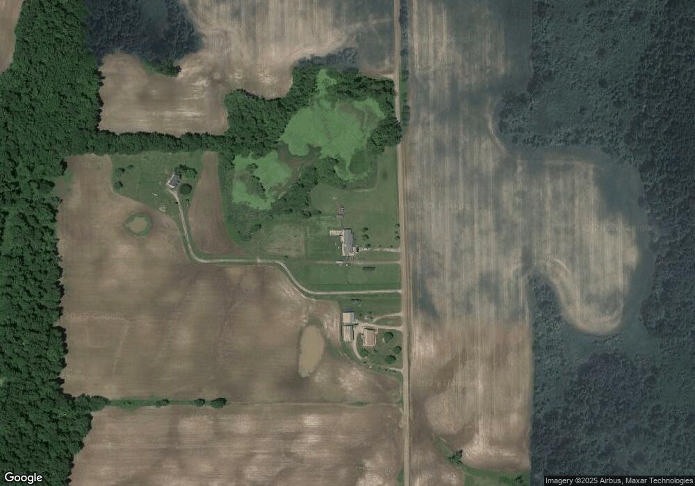
Map
Nearby Homes
- 12315 Kimler Rd
- 14030 Crawford Rd
- 9760 Blue Heron
- 12560 Eaton Rapids Rd
- 9733 Blue Heron
- 15885 Mcclellan Rd
- Lot C Stoney Ln
- Lot A Stoney Ln
- 598 E Main St
- 252 Bay Port Cir Unit 19
- 231 Bay Port Cir Unit 68
- 0 Green St
- 6698 Peck Rd
- 0 R-Drive N
- 29510 S Dr N
- Vl Tucker Rd Lot Unit WP001
- 6322 Springport Rd
- VL Tucker Rd Lot#wp001
- 6222 S Clinton Trail
- 14235 Saxon Rd
- 12793 Gibbs Rd
- 12797 Gibbs Rd
- 12501 Gibbs Rd
- 8116 Mast Trail
- 8090 Mast Trail
- 12462 Gibbs Rd
- 8146 Mast Trail
- 8095 Mast Trail
- 8214 Mast Trail
- 9685 Cockroft Rd
- 12450 Gibbs Rd
- 12450 Gibbs Rd
- 9847 Springport Rd
- 8185 Mast Trail
- 12997 Holibaugh Rd
- 12261 Gibbs Rd
- 9671 Springport Rd
- 12219 Gibbs Rd
- 12817 Holibaugh Rd
- 12753 Holibaugh Rd