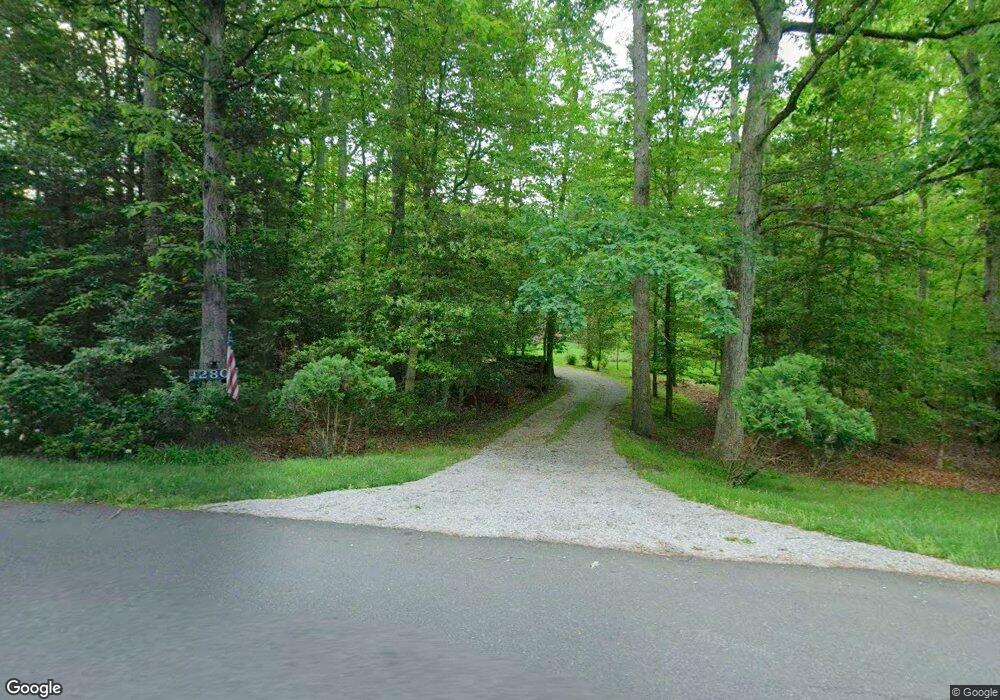
12801 Westside Rd Manassas, VA 20112
South Manassas NeighborhoodEstimated Value: $796,000 - $867,000
3
Beds
4
Baths
2,644
Sq Ft
$314/Sq Ft
Est. Value
About This Home
This home is located at 12801 Westside Rd, Manassas, VA 20112 and is currently estimated at $830,658, approximately $314 per square foot. 12801 Westside Rd is a home located in Prince William County with nearby schools including Charles J. Colgan Senior High School, Thurgood Marshall Elementary School, and Louise A. Benton Middle School.
Ownership History
Date
Name
Owned For
Owner Type
Purchase Details
Closed on
Sep 3, 2024
Sold by
Philpott Charles Marvin and Philpott Mary Elaine
Bought by
Charles And Mary Philpott Trust and Philpott
Current Estimated Value
Create a Home Valuation Report for This Property
The Home Valuation Report is an in-depth analysis detailing your home's value as well as a comparison with similar homes in the area
Home Values in the Area
Average Home Value in this Area
Purchase History
| Date | Buyer | Sale Price | Title Company |
|---|---|---|---|
| Charles And Mary Philpott Trust | -- | None Listed On Document |
Source: Public Records
Tax History Compared to Growth
Tax History
| Year | Tax Paid | Tax Assessment Tax Assessment Total Assessment is a certain percentage of the fair market value that is determined by local assessors to be the total taxable value of land and additions on the property. | Land | Improvement |
|---|---|---|---|---|
| 2025 | $6,989 | $720,300 | $192,700 | $527,600 |
| 2024 | $6,989 | $702,800 | $186,100 | $516,700 |
| 2023 | $7,150 | $687,200 | $181,800 | $505,400 |
| 2022 | $6,860 | $619,400 | $165,200 | $454,200 |
| 2021 | $6,993 | $574,800 | $156,000 | $418,800 |
| 2020 | $8,584 | $553,800 | $151,700 | $402,100 |
| 2019 | $8,303 | $535,700 | $150,000 | $385,700 |
| 2018 | $6,418 | $531,500 | $148,700 | $382,800 |
| 2017 | $6,387 | $520,200 | $145,100 | $375,100 |
| 2016 | $6,144 | $505,000 | $142,100 | $362,900 |
| 2015 | $6,000 | $502,800 | $141,200 | $361,600 |
| 2014 | $6,000 | $482,500 | $136,100 | $346,400 |
Source: Public Records
Map
Nearby Homes
- 6233 Alistair Dr
- 12704 Purcell Rd
- 6244 Oscar Ct
- 13342 Pelican Rd
- 7124 Dark Forest Dr
- 12849 Hoadly Manor Dr
- 13357 Pelican Rd
- 13380 Packard Dr
- 6016 Pepco Ct
- 7217 Ridgeway Dr
- 12357 Purcell Rd
- 5660 Hoadly Rd
- 13305 Kahns Rd
- 13217 Nickleson Dr
- 5518 Victory Loop
- 13528 Persian Ct
- 13425 Princedale Dr
- 7414 Silent Willow Ct
- 7316 Mariposa Dr
- 5876 Pontiac Dr
- 12791 Westside Rd
- 12811 Westside Rd
- 6501 Commonwealth Ct
- 12821 Westside Rd
- 12820 Westside Rd
- 12781 Westside Rd
- 12831 Westside Rd
- 12975 Purcell Rd
- 6510 Commonwealth Ct
- 12771 Westside Rd
- 6343 Etheridge Ln
- 6511 Commonwealth Ct
- 6347 Etheridge Ln
- 12835 Purcell Rd
- 6351 Etheridge Ln
- 6335 Etheridge Ln
- 6520 Commonwealth Ct
- 6355 Etheridge Ln
- 6338 Etheridge Ln
- 12812 Purcell Rd