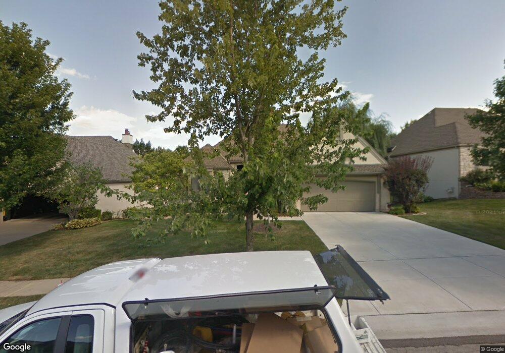
12809 Cedar St Leawood, KS 66209
Estimated Value: $601,585 - $695,000
3
Beds
3
Baths
2,212
Sq Ft
$291/Sq Ft
Est. Value
About This Home
This home is located at 12809 Cedar St, Leawood, KS 66209 and is currently estimated at $643,896, approximately $291 per square foot. 12809 Cedar St is a home located in Johnson County with nearby schools including Overland Trail Elementary School, Overland Trail Middle School, and Blue Valley North High School.
Ownership History
Date
Name
Owned For
Owner Type
Purchase Details
Closed on
Jan 22, 2003
Sold by
Katz Harold and Harold Katz Declaration Of Tru
Bought by
Breslow Neil W and Hipsh Louise C
Current Estimated Value
Home Financials for this Owner
Home Financials are based on the most recent Mortgage that was taken out on this home.
Original Mortgage
$255,000
Interest Rate
5.96%
Purchase Details
Closed on
Jul 12, 2001
Sold by
Katz Harold and Katz Ruth L
Bought by
Katz Harold
Create a Home Valuation Report for This Property
The Home Valuation Report is an in-depth analysis detailing your home's value as well as a comparison with similar homes in the area
Home Values in the Area
Average Home Value in this Area
Purchase History
| Date | Buyer | Sale Price | Title Company |
|---|---|---|---|
| Breslow Neil W | -- | Chicago Title Ins Co Olathe | |
| Katz Harold | -- | -- |
Source: Public Records
Mortgage History
| Date | Status | Borrower | Loan Amount |
|---|---|---|---|
| Closed | Breslow Neil W | $255,000 |
Source: Public Records
Tax History Compared to Growth
Tax History
| Year | Tax Paid | Tax Assessment Tax Assessment Total Assessment is a certain percentage of the fair market value that is determined by local assessors to be the total taxable value of land and additions on the property. | Land | Improvement |
|---|---|---|---|---|
| 2024 | $6,934 | $62,492 | $9,097 | $53,395 |
| 2023 | $6,913 | $61,376 | $9,097 | $52,279 |
| 2022 | $5,788 | $50,405 | $8,269 | $42,136 |
| 2021 | $5,131 | $42,631 | $7,521 | $35,110 |
| 2020 | $5,255 | $42,769 | $7,521 | $35,248 |
| 2019 | $5,493 | $43,895 | $6,540 | $37,355 |
| 2018 | $6,131 | $48,071 | $5,946 | $42,125 |
| 2017 | $6,296 | $48,530 | $5,405 | $43,125 |
| 2016 | $5,606 | $43,298 | $5,405 | $37,893 |
| 2015 | $5,392 | $41,147 | $5,405 | $35,742 |
| 2013 | -- | $38,088 | $5,405 | $32,683 |
Source: Public Records
Map
Nearby Homes
- 5040 W 128th Terrace
- 12844 Granada Ln
- 12635 Juniper Cir
- The Carmel Plan at East Village
- The Cypress Plan at East Village
- The Avala Plan at East Village
- 5204 W 128th St
- 4417 W 130th St
- 13008 Fontana St
- 4908 W 131st Terrace
- 13009 Fontana St
- 4444 W 130th Terrace
- 5448 W 128th Terrace
- 12812 Birch St
- 13143 Rosewood St
- 4989 W 131st Place
- 12650 Sherwood Dr
- 12909 Maple St
- 12642 Sherwood Dr
- 12468 Linden St
- 12807 Cedar St
- 12811 Cedar St
- 12805 Cedar St
- 12815 Cedar St
- 12803 Cedar St
- 12804 Cedar St
- 12817 Cedar St
- 12814 Cedar St
- 12801 Cedar St
- 12816 Cedar St
- 12800 Cedar St
- 12819 Cedar St
- 12818 Cedar St
- 12808 Linden St
- 12810 Linden St
- 12821 Cedar St
- 12805 Briar Dr
- 12802 Linden St
- 12804 Linden St
- 12809 Briar Dr