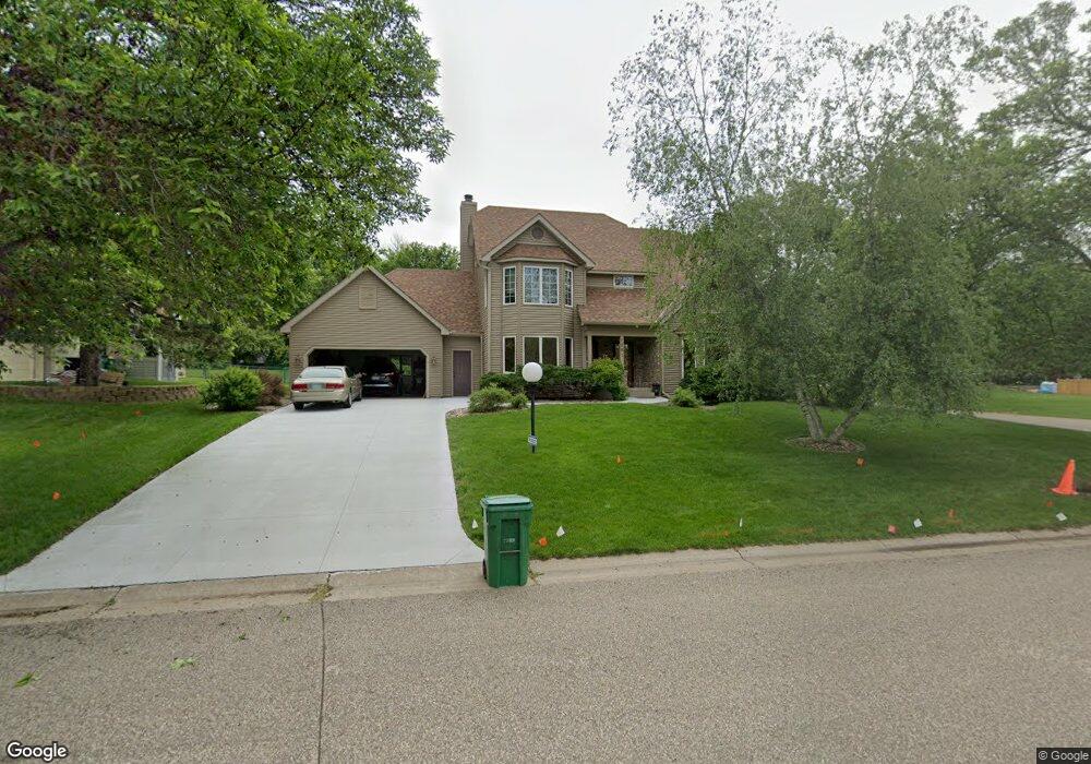
1281 1281 Amundson-Drive- Stillwater, MN 55082
Estimated Value: $531,377 - $596,000
3
Beds
3
Baths
2,427
Sq Ft
$236/Sq Ft
Est. Value
About This Home
This home is located at 1281 1281 Amundson-Drive-, Stillwater, MN 55082 and is currently estimated at $572,844, approximately $236 per square foot. 1281 1281 Amundson-Drive- is a home located in Washington County with nearby schools including Stonebridge Elementary School, Stillwater Middle School, and Stillwater Area High School.
Ownership History
Date
Name
Owned For
Owner Type
Purchase Details
Closed on
Jun 6, 2025
Sold by
Vollmer Kathleen J
Bought by
Kathleen J Vollmer Trust and Vollmer
Current Estimated Value
Purchase Details
Closed on
Mar 14, 2023
Sold by
Vollmer Kathleen J
Bought by
Vollmer Kathleen J and Kuula Karen
Purchase Details
Closed on
Jun 30, 2004
Sold by
Bronson Jody L
Bought by
Newman Evelyn J
Purchase Details
Closed on
Oct 18, 2001
Sold by
Lidgerding Gary Alan and Lidgerding Judith Mae
Bought by
Anderson Robert S and Anderson Jennifer J
Create a Home Valuation Report for This Property
The Home Valuation Report is an in-depth analysis detailing your home's value as well as a comparison with similar homes in the area
Home Values in the Area
Average Home Value in this Area
Purchase History
| Date | Buyer | Sale Price | Title Company |
|---|---|---|---|
| Kathleen J Vollmer Trust | $500 | None Listed On Document | |
| Vollmer Kathleen J | -- | None Listed On Document | |
| Newman Evelyn J | $372,900 | -- | |
| Anderson Robert S | $280,000 | -- |
Source: Public Records
Tax History Compared to Growth
Tax History
| Year | Tax Paid | Tax Assessment Tax Assessment Total Assessment is a certain percentage of the fair market value that is determined by local assessors to be the total taxable value of land and additions on the property. | Land | Improvement |
|---|---|---|---|---|
| 2024 | $6,158 | $511,100 | $155,000 | $356,100 |
| 2023 | $6,158 | $527,800 | $189,000 | $338,800 |
| 2022 | $4,888 | $466,600 | $158,600 | $308,000 |
| 2021 | $4,866 | $397,100 | $135,000 | $262,100 |
| 2020 | $4,840 | $375,800 | $123,000 | $252,800 |
| 2019 | $4,836 | $368,100 | $115,000 | $253,100 |
| 2018 | $4,660 | $348,100 | $110,000 | $238,100 |
| 2017 | $4,538 | $334,500 | $110,000 | $224,500 |
| 2016 | $4,824 | $311,200 | $90,000 | $221,200 |
| 2015 | $4,804 | $323,700 | $92,900 | $230,800 |
| 2013 | -- | $250,100 | $62,800 | $187,300 |
Source: Public Records
Map
Nearby Homes
- 1347 McKusick Road Ln N
- 918 William St N
- 610 Wilkins St W
- 855 Eagle Ridge Ln
- 1110 Lecuyer Dr
- 1311 Meadowlark Dr
- 1504 Linden St W
- 809 5th St N
- 212 Birchwood Dr N
- 451 Everett St N
- 640 Main St N Unit 42
- 640 Main St N Unit 37
- 620 Main St N Unit 114
- 406 Mulberry St W
- 950 Owens St N
- 1824 1st St N
- 610 Main St N Unit 305
- 14xxx Dellwood Rd
- 1900 Oak Glen Trail
- 2312 Hill Ct
- 1281 Amundson Cir
- 1281 Amundson Dr
- 1291 Amundson Dr
- 1201 Amundson Dr
- 1250 Amundson Ct
- 1311 Dallager Ct
- 1241 Amundson Cir
- 1300 Amundson Place
- 1221 Amundson Cir
- 1200 Amundson Ct
- 1135 Amundson Dr
- 1240 Amundson Ct
- 1050 Saint Croix Ave W
- 1331 Dallager Ct
- 1310 Amundson Place
- 1381 Dallager Ct
- 1210 Amundson Ct
- 1115 Amundson Dr
- 1042 Saint Croix Ave W
- 1371 Dallager Ct