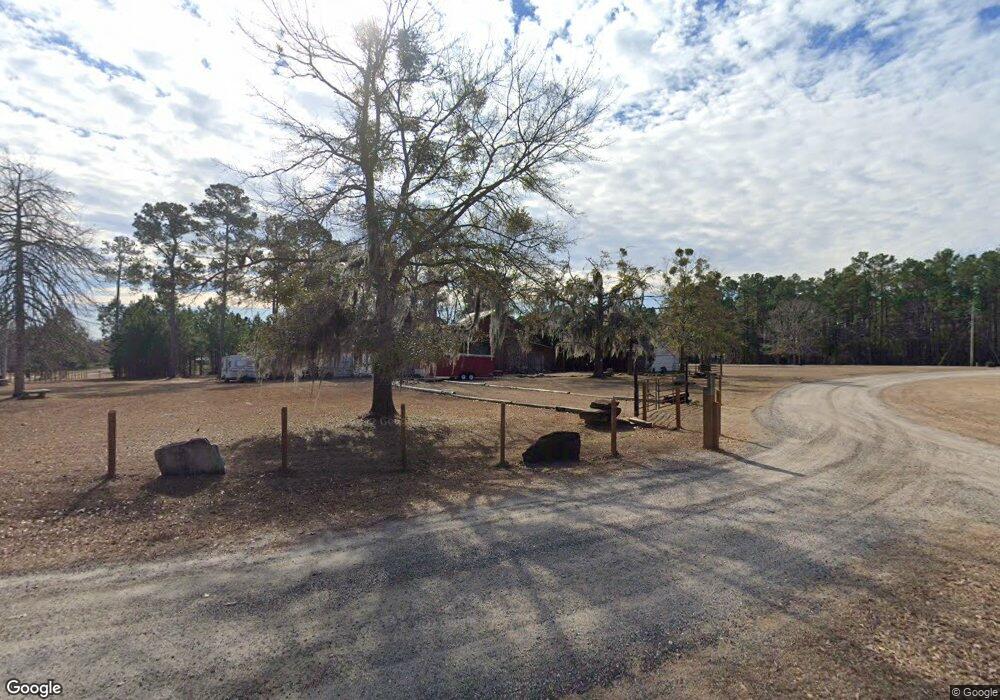
1281 Landing Rd Manning, SC 29102
Estimated Value: $82,675 - $254,000
--
Bed
--
Bath
--
Sq Ft
0.73
Acres
About This Home
This home is located at 1281 Landing Rd, Manning, SC 29102 and is currently estimated at $174,919. 1281 Landing Rd is a home with nearby schools including Manning Early Childhood Center, Manning Primary School, and Manning Elementary School.
Ownership History
Date
Name
Owned For
Owner Type
Purchase Details
Closed on
Jan 13, 2025
Sold by
Coffey Joseph K
Bought by
Treh Sc Llc
Current Estimated Value
Purchase Details
Closed on
Dec 15, 2023
Sold by
Mcalister Don M
Bought by
Alexander Glady and Sanders Donna
Purchase Details
Closed on
Jun 19, 2019
Sold by
Burroughs Jerome C and Burroughs Cassandra
Bought by
Mcalister Don M and Roller Teresa H
Home Financials for this Owner
Home Financials are based on the most recent Mortgage that was taken out on this home.
Original Mortgage
$19,000
Interest Rate
4%
Mortgage Type
New Conventional
Create a Home Valuation Report for This Property
The Home Valuation Report is an in-depth analysis detailing your home's value as well as a comparison with similar homes in the area
Home Values in the Area
Average Home Value in this Area
Purchase History
| Date | Buyer | Sale Price | Title Company |
|---|---|---|---|
| Treh Sc Llc | $275,000 | None Listed On Document | |
| Treh Sc Llc | $275,000 | None Listed On Document | |
| Alexander Glady | -- | None Listed On Document | |
| Mcalister Don M | $20,000 | -- |
Source: Public Records
Mortgage History
| Date | Status | Borrower | Loan Amount |
|---|---|---|---|
| Previous Owner | Mcalister Don M | $19,000 |
Source: Public Records
Tax History Compared to Growth
Tax History
| Year | Tax Paid | Tax Assessment Tax Assessment Total Assessment is a certain percentage of the fair market value that is determined by local assessors to be the total taxable value of land and additions on the property. | Land | Improvement |
|---|---|---|---|---|
| 2024 | $200 | $1,016 | $800 | $216 |
| 2023 | $579 | $1,524 | $1,200 | $324 |
| 2022 | $573 | $1,524 | $1,200 | $324 |
| 2021 | $417 | $1,200 | $1,200 | $0 |
| 2020 | $417 | $1,200 | $0 | $0 |
| 2019 | $303 | $913 | $0 | $0 |
| 2018 | $292 | $913 | $0 | $0 |
| 2017 | $291 | $913 | $0 | $0 |
| 2016 | $286 | $913 | $0 | $0 |
| 2015 | $245 | $794 | $794 | $0 |
| 2014 | $241 | $794 | $794 | $0 |
| 2013 | -- | $794 | $794 | $0 |
Source: Public Records
Map
Nearby Homes
- 1083 Copperhead Rd
- 1702 Camp Shelor Rd
- 1583 Wyboo Ave
- 1229 Lemon Ave
- 1203 Cypress Pointe Unit A203
- 1311 Cypress Pointe #311
- 2205 Cypress Pointe Unit B 205
- 1026 Carolina Way
- 1649 Lemon Ave
- 1015 Carolina Way
- 1001 Carolina Way
- 1213 Lesesne Dr
- 1343 Morello Rd
- 1075 Mockingbird Ln
- 1401 Charles Dr
- 1016 Crawford Dr
- 1184 Perch Dr
- Tbd Unit Sub
- 1580 Stillwater Dr
- 1605 Rowland Rd
- 1914 Camp Shelor Dr
- 1294 Pond View Rd
- 1175 Pine Ridge Rd
- 1234 Pine Ridge Rd
- 1882 Camp Shelor Dr
- 1026 Bruce St
- 1250 Landing Rd
- 1454 Hanging Moss Rd
- 1858 Camp Shelor Dr
- 1149 Pine Ridge Rd
- 1166 Pine Ridge Rd
- 1391 Hanging Moss Rd
- 1428 Hanging Moss Rd
- 1824 Camp Shelor Dr
- 1836 Camp Shelor Dr
- 1398 Hanging Moss Rd
- 1026 Radius St
- 1073 Pine Ridge Rd
- 1052 Bruce St
- 1051 Bruce St
