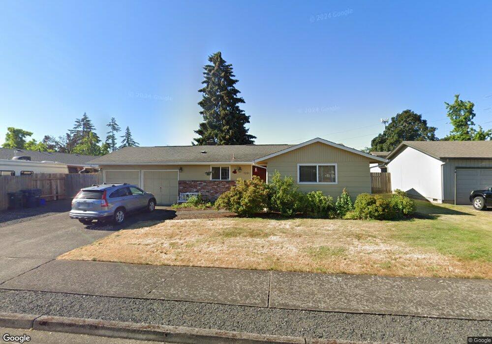
1281 Lorne Loop Springfield, OR 97477
Gateway NeighborhoodEstimated Value: $345,000 - $360,000
2
Beds
1
Bath
896
Sq Ft
$394/Sq Ft
Est. Value
About This Home
This home is located at 1281 Lorne Loop, Springfield, OR 97477 and is currently estimated at $353,081, approximately $394 per square foot. 1281 Lorne Loop is a home located in Lane County with nearby schools including Guy Lee Elementary School, Hamlin Middle School, and Springfield High School.
Ownership History
Date
Name
Owned For
Owner Type
Purchase Details
Closed on
Nov 5, 2002
Sold by
Denny Michael P
Bought by
Barker Melissa J
Current Estimated Value
Home Financials for this Owner
Home Financials are based on the most recent Mortgage that was taken out on this home.
Original Mortgage
$110,736
Outstanding Balance
$45,041
Interest Rate
5.88%
Mortgage Type
FHA
Estimated Equity
$308,040
Purchase Details
Closed on
Feb 18, 1999
Sold by
Harris David W and Harris Paula A
Bought by
Denny Michael P
Home Financials for this Owner
Home Financials are based on the most recent Mortgage that was taken out on this home.
Original Mortgage
$89,910
Interest Rate
6.77%
Create a Home Valuation Report for This Property
The Home Valuation Report is an in-depth analysis detailing your home's value as well as a comparison with similar homes in the area
Home Values in the Area
Average Home Value in this Area
Purchase History
| Date | Buyer | Sale Price | Title Company |
|---|---|---|---|
| Barker Melissa J | $112,500 | Western Pioneer Title Co | |
| Denny Michael P | $99,900 | Cascade Title Co |
Source: Public Records
Mortgage History
| Date | Status | Borrower | Loan Amount |
|---|---|---|---|
| Open | Barker Melissa J | $110,736 | |
| Previous Owner | Denny Michael P | $89,910 |
Source: Public Records
Tax History
| Year | Tax Paid | Tax Assessment Tax Assessment Total Assessment is a certain percentage of the fair market value that is determined by local assessors to be the total taxable value of land and additions on the property. | Land | Improvement |
|---|---|---|---|---|
| 2025 | $2,958 | $161,286 | -- | -- |
| 2024 | $2,910 | $156,589 | -- | -- |
| 2023 | $2,910 | $152,029 | $0 | $0 |
| 2022 | $2,695 | $147,601 | $0 | $0 |
| 2021 | $2,647 | $143,302 | $0 | $0 |
| 2020 | $2,569 | $139,129 | $0 | $0 |
| 2019 | $2,492 | $135,077 | $0 | $0 |
| 2018 | $2,349 | $127,323 | $0 | $0 |
| 2017 | $2,259 | $127,323 | $0 | $0 |
| 2016 | $2,211 | $123,615 | $0 | $0 |
| 2015 | $2,148 | $120,015 | $0 | $0 |
| 2014 | $2,116 | $116,519 | $0 | $0 |
Source: Public Records
Map
Nearby Homes
- 446 Kodiak St
- 898 Lochaven Ave
- 2727 Gateway St Unit 27
- 3579 Oxbow Way
- 3700 Babcock Ln Unit 119
- 3700 Babcock Ln Unit 106
- 825 Waverly St
- 2846 El Toro Ct
- 484 Scotts Glen Dr
- 485 Scotts Glen Dr
- 3460 Oxbow Way
- 451 Lochaven Ave
- 1038 President St
- 1271 Arcadia Dr
- 804 W N St
- 364 Scotts Glen Dr
- 2150 Laura (#57) St Unit 57
- 2150 Laura St Unit 119
- 2150 Laura St Unit 111
- 2150 Laura St Unit 39
- 1275 Lorne Loop
- 2234 Dornoch St
- 1212 Lorne Loop
- 1218 Lorne Loop
- 2212 Dornoch St
- 1243 Lorne Loop
- 1282 Lorne Loop
- 1276 Lorne Loop
- 2268 Dornoch St
- 1220 Lorne Loop
- 1268 Lorne Loop
- 2233 Dornoch St
- 2211 Dornoch St
- 2251 Dornoch St
- 1264 Lorne Loop
- 1211 Lorne Loop
- 1217 Lorne Loop
- 1244 Lorne Loop
- 1203 Lorne Loop
- 1134 Lochaven Ave
Your Personal Tour Guide
Ask me questions while you tour the home.