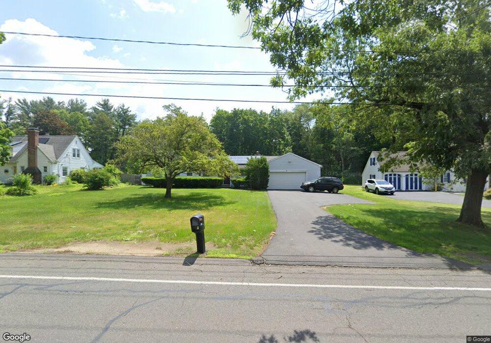
1281 Plumtree Rd Springfield, MA 01119
Sixteen Acres NeighborhoodEstimated Value: $389,190 - $442,000
2
Beds
2
Baths
1,728
Sq Ft
$244/Sq Ft
Est. Value
About This Home
This home is located at 1281 Plumtree Rd, Springfield, MA 01119 and is currently estimated at $422,298, approximately $244 per square foot. 1281 Plumtree Rd is a home located in Hampden County with nearby schools including Glickman Elementary, M Marcus Kiley Middle, and Springfield High School of Science and Technology.
Ownership History
Date
Name
Owned For
Owner Type
Purchase Details
Closed on
Aug 16, 2006
Sold by
Dakis Marie A
Bought by
Polite Maurice
Current Estimated Value
Home Financials for this Owner
Home Financials are based on the most recent Mortgage that was taken out on this home.
Original Mortgage
$225,900
Outstanding Balance
$136,509
Interest Rate
6.88%
Mortgage Type
Purchase Money Mortgage
Estimated Equity
$285,789
Create a Home Valuation Report for This Property
The Home Valuation Report is an in-depth analysis detailing your home's value as well as a comparison with similar homes in the area
Home Values in the Area
Average Home Value in this Area
Purchase History
| Date | Buyer | Sale Price | Title Company |
|---|---|---|---|
| Polite Maurice | $251,000 | -- |
Source: Public Records
Mortgage History
| Date | Status | Borrower | Loan Amount |
|---|---|---|---|
| Open | Polite Maurice | $225,900 |
Source: Public Records
Tax History
| Year | Tax Paid | Tax Assessment Tax Assessment Total Assessment is a certain percentage of the fair market value that is determined by local assessors to be the total taxable value of land and additions on the property. | Land | Improvement |
|---|---|---|---|---|
| 2025 | $5,518 | $351,900 | $61,200 | $290,700 |
| 2024 | $5,110 | $318,200 | $61,200 | $257,000 |
| 2023 | $4,711 | $276,300 | $58,300 | $218,000 |
| 2022 | $4,325 | $229,800 | $58,300 | $171,500 |
| 2021 | $4,270 | $225,900 | $53,000 | $172,900 |
| 2020 | $4,254 | $217,800 | $53,000 | $164,800 |
| 2019 | $4,001 | $203,300 | $53,000 | $150,300 |
| 2018 | $3,958 | $201,100 | $53,000 | $148,100 |
| 2017 | $3,781 | $192,300 | $48,200 | $144,100 |
| 2016 | $3,574 | $181,800 | $48,200 | $133,600 |
| 2015 | $3,572 | $181,600 | $48,200 | $133,400 |
Source: Public Records
Map
Nearby Homes
- 108 Birchland Ave
- 46 Puritan Cir
- 55 Old Farm Rd
- 73 Timber Ln
- 86 Wildwood Ave
- 119 Acrebrook Rd
- 81 W Crystal Brook Dr
- 74 Valley Rd
- 744 Bradley Rd
- Lot 37 Kane St
- 120 Bridle Path Rd
- 228 Acrebrook Rd
- 88 Senator St
- 60 Jeanne Marie St
- 381 N Brook Rd
- 24 Wands St
- 647 Plumtree Rd
- 17 Jeanne Marie St
- 85 Talmadge Dr
- 86 Talmadge Dr
- 1291 Plumtree Rd
- 1271 Plumtree Rd
- 1303 Plumtree Rd
- 1259 Plumtree Rd
- 1294 Plumtree Rd
- 1311 Plumtree Rd
- 1280 Plumtree Rd
- 1264 Plumtree Rd
- 1300 Plumtree Rd
- 1321 Plumtree Rd
- 31 Balboa Dr
- 1318 Plumtree Rd
- 21 Balboa Dr
- 41 Balboa Dr
- 11 Balboa Dr
- 26 Talbot Rd
- 26 Talbot Rd Unit 1
- 1248 Plumtree Rd
- 1331 Plumtree Rd
- 1328 Plumtree Rd
Your Personal Tour Guide
Ask me questions while you tour the home.