12810 Foxwood Point Poplar Bluff, MO 63901
Estimated Value: $381,521 - $523,000
--
Bed
--
Bath
3,481
Sq Ft
$126/Sq Ft
Est. Value
About This Home
This home is located at 12810 Foxwood Point, Poplar Bluff, MO 63901 and is currently estimated at $439,174, approximately $126 per square foot. 12810 Foxwood Point is a home with nearby schools including East Carter County R-II Elementary School, East Carter County R-II Middle School, and East Carter County R-II High School.
Ownership History
Date
Name
Owned For
Owner Type
Purchase Details
Closed on
Jul 11, 2025
Sold by
Crafton Rusty D and Crafton Andrea L
Bought by
Moss Aaron Lynn and Moss Jennifer R
Current Estimated Value
Home Financials for this Owner
Home Financials are based on the most recent Mortgage that was taken out on this home.
Original Mortgage
$505,000
Outstanding Balance
$381,984
Interest Rate
6.89%
Mortgage Type
Construction
Estimated Equity
$57,190
Purchase Details
Closed on
Sep 28, 2015
Sold by
Brittingham Rick D and Brittingham Mary
Bought by
Crafton Rusty D and Crafton Andrea L
Create a Home Valuation Report for This Property
The Home Valuation Report is an in-depth analysis detailing your home's value as well as a comparison with similar homes in the area
Home Values in the Area
Average Home Value in this Area
Purchase History
| Date | Buyer | Sale Price | Title Company |
|---|---|---|---|
| Moss Aaron Lynn | -- | None Listed On Document | |
| Crafton Rusty D | -- | None Available |
Source: Public Records
Mortgage History
| Date | Status | Borrower | Loan Amount |
|---|---|---|---|
| Open | Moss Aaron Lynn | $505,000 |
Source: Public Records
Tax History Compared to Growth
Tax History
| Year | Tax Paid | Tax Assessment Tax Assessment Total Assessment is a certain percentage of the fair market value that is determined by local assessors to be the total taxable value of land and additions on the property. | Land | Improvement |
|---|---|---|---|---|
| 2024 | $22 | $48,530 | $0 | $0 |
| 2023 | $2,161 | $48,530 | $0 | $0 |
| 2022 | $2,088 | $46,980 | $0 | $0 |
| 2021 | $2,089 | $46,980 | $0 | $0 |
| 2020 | $2,115 | $46,830 | $0 | $0 |
| 2019 | $2,113 | $46,830 | $0 | $0 |
| 2018 | $2,113 | $46,830 | $0 | $0 |
| 2017 | -- | $46,830 | $0 | $0 |
| 2016 | -- | $18,780 | $0 | $0 |
| 2015 | -- | $4,760 | $0 | $0 |
| 2014 | -- | $100 | $0 | $0 |
| 2012 | $11 | $100 | $0 | $0 |
Source: Public Records
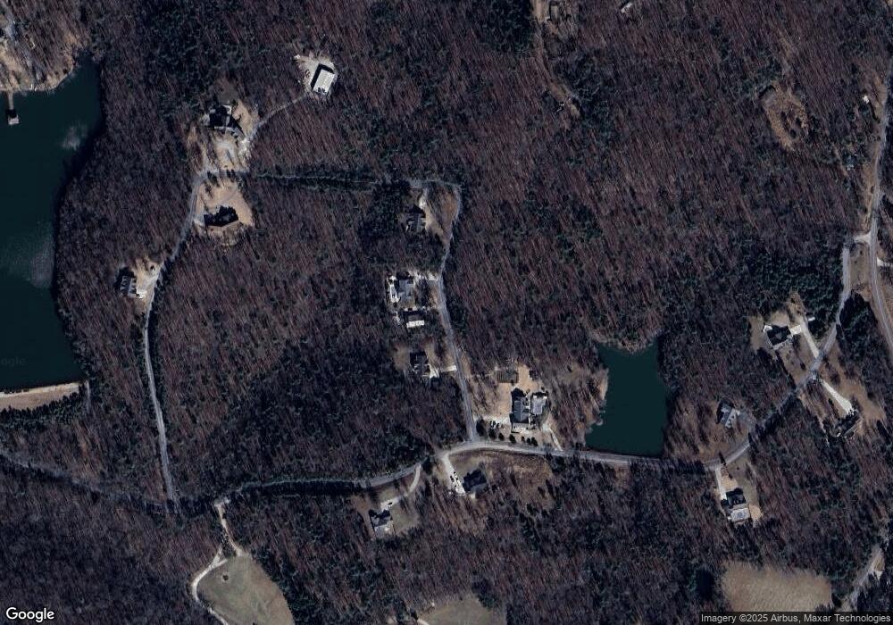
Map
Nearby Homes
- 0 9 6 Ac + - Off Tt Hwy Unit MIS25050752
- 139 County Road 425
- 9711 Highway Pp
- 10576 Highway Pp
- 607 County Road 423
- 0 Brownwood Trails #18 Unit MIS25061746
- 10374 Highway 60 W
- 0 County Road 421
- TBD County Road 426
- 858 County Road 420
- 56 Stringtown St
- 125 Lanee Ln
- 109 Lanee Ln
- 205 Batson Lake Ln
- 5239 Highway M
- 6708 Brown Ln
- Lot 11 Timber Way Dr
- 223 Timberway Dr
- 1802 Woodland Meadows Dr
- 1855 County Road 459
- 12754 Foxwood Point
- 12747 Foxwood Point
- 12747 Foxwood Point
- 12720 Foxwood Point
- 12998 Foxwood Point
- 12998 Foxwood Pointe
- 12936 Foxwood Point
- 12827 Foxwood Pointe
- 12827 Foxwood Point
- 12988 Foxwood Pointe
- 12654 Foxwood Point
- 57 Foxwood Trail
- 12661 Foxwood Point
- 12576 Foxwood Pointe
- 180 Foxwood Trail
- 235 Foxwood Trail
- 3319 Foxwood Ct
- 3020 Foxwood Ct
- 3771 Foxwood Ct
- 0 Foxwood Pointe