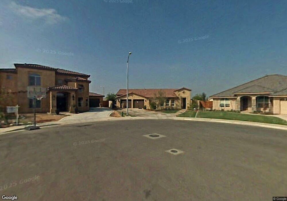
12814 Molokai Dr Bakersfield, CA 93312
Fox Run NeighborhoodEstimated Value: $538,000 - $594,000
5
Beds
3
Baths
2,585
Sq Ft
$219/Sq Ft
Est. Value
About This Home
This home is located at 12814 Molokai Dr, Bakersfield, CA 93312 and is currently estimated at $565,624, approximately $218 per square foot. 12814 Molokai Dr is a home located in Kern County with nearby schools including Patriot Elementary School, Freedom Middle School, and Frontier High School.
Ownership History
Date
Name
Owned For
Owner Type
Purchase Details
Closed on
Jun 4, 2020
Sold by
Millan Danhira B
Bought by
Millan Mario S
Current Estimated Value
Home Financials for this Owner
Home Financials are based on the most recent Mortgage that was taken out on this home.
Original Mortgage
$343,643
Outstanding Balance
$241,028
Interest Rate
3.1%
Mortgage Type
New Conventional
Estimated Equity
$324,596
Purchase Details
Closed on
Feb 15, 2011
Sold by
Millan Christine
Bought by
Millan Mario
Purchase Details
Closed on
Feb 2, 2005
Sold by
John Balfanz Homes Inc
Bought by
Millan Mario S and Millan Christine E
Home Financials for this Owner
Home Financials are based on the most recent Mortgage that was taken out on this home.
Original Mortgage
$332,887
Interest Rate
1%
Mortgage Type
Fannie Mae Freddie Mac
Create a Home Valuation Report for This Property
The Home Valuation Report is an in-depth analysis detailing your home's value as well as a comparison with similar homes in the area
Home Values in the Area
Average Home Value in this Area
Purchase History
| Date | Buyer | Sale Price | Title Company |
|---|---|---|---|
| Millan Mario S | -- | Placer Title Company | |
| Millan Mario S | -- | Placer Title Company | |
| Millan Mario | -- | None Available | |
| Millan Mario S | $416,500 | Stewart Title |
Source: Public Records
Mortgage History
| Date | Status | Borrower | Loan Amount |
|---|---|---|---|
| Open | Millan Mario S | $343,643 | |
| Previous Owner | Millan Mario S | $332,887 |
Source: Public Records
Tax History Compared to Growth
Tax History
| Year | Tax Paid | Tax Assessment Tax Assessment Total Assessment is a certain percentage of the fair market value that is determined by local assessors to be the total taxable value of land and additions on the property. | Land | Improvement |
|---|---|---|---|---|
| 2025 | $6,630 | $526,000 | $132,000 | $394,000 |
| 2024 | $6,879 | $540,000 | $135,000 | $405,000 |
| 2023 | $6,879 | $565,000 | $141,000 | $424,000 |
| 2022 | $5,831 | $469,000 | $117,000 | $352,000 |
| 2021 | $5,085 | $406,000 | $102,000 | $304,000 |
| 2020 | $4,821 | $384,000 | $96,000 | $288,000 |
| 2019 | $4,675 | $370,000 | $93,000 | $277,000 |
| 2018 | $4,511 | $358,000 | $90,000 | $268,000 |
| 2017 | $4,418 | $348,000 | $87,000 | $261,000 |
| 2016 | $4,217 | $348,000 | $87,000 | $261,000 |
| 2015 | $4,169 | $343,000 | $86,000 | $257,000 |
| 2014 | $4,226 | $350,000 | $88,000 | $262,000 |
Source: Public Records
Map
Nearby Homes
- 13100 Yampa River St Unit 3
- 12600 Hawaii Ln
- 5308 Elk Run Ct
- 13118 Ridgeway Meadows Dr
- 12710 Lanai Ave
- 13416 Ridgeway Meadows Dr
- 12709 Montbatten Place
- 4900 Rushmore Dr
- 13404 Cheyenne Mountain Dr
- 13432 Ridgeway Meadows Dr
- 12309 Childress St
- 13421 Cheyenne Mountain Dr
- 12809 Trafalgar Square Dr
- 6002 Dartmoor Wood Ave
- 12206 Sundance Canyon Dr
- 6006 Dartmoor Wood Ave
- 13500 Sunlight Star St
- 12418 Grand Teton Dr
- 12708 Knights Bridge Place
- 0 Rosedale Unit 202511650
- 12810 Molokai Dr
- 12818 Molokai Dr
- 12806 Molokai Dr
- 12815 Molokai Dr
- 12811 Molokai Dr
- 5410 Cherry Creek Ln Unit 3
- 5402 Cherry Creek Ln
- 5414 Cherry Creek Ln
- 12802 Molokai Dr
- 12807 Molokai Dr
- 5418 Cherry Creek Ln
- 5308 Cherry Creek Ln
- 12803 Molokai Dr
- 5422 Cherry Creek Ln
- 12716 Molokai Dr
- 5304 Cherry Creek Ln Unit 2
- 12812 Hawaii Ln
- 12808 Hawaii Ln
- 5426 Cherry Creek Ln
- 12804 Hawaii Ln