12815 Mill Brook Ct Woodbridge, VA 22192
Estimated Value: $416,000 - $520,000
3
Beds
3
Baths
1,680
Sq Ft
$284/Sq Ft
Est. Value
About This Home
This home is located at 12815 Mill Brook Ct, Woodbridge, VA 22192 and is currently estimated at $477,072, approximately $283 per square foot. 12815 Mill Brook Ct is a home located in Prince William County with nearby schools including Antietam Elementary School, Lake Ridge Middle School, and Woodbridge High School.
Ownership History
Date
Name
Owned For
Owner Type
Purchase Details
Closed on
Feb 6, 1995
Sold by
Hazlett Ray A
Bought by
Dennie Joseph C
Current Estimated Value
Home Financials for this Owner
Home Financials are based on the most recent Mortgage that was taken out on this home.
Original Mortgage
$125,100
Interest Rate
9.13%
Purchase Details
Closed on
Sep 20, 1994
Sold by
Mortgage Prop Corp
Bought by
Np Lower Tier Fdg Lp
Create a Home Valuation Report for This Property
The Home Valuation Report is an in-depth analysis detailing your home's value as well as a comparison with similar homes in the area
Home Values in the Area
Average Home Value in this Area
Purchase History
| Date | Buyer | Sale Price | Title Company |
|---|---|---|---|
| Dennie Joseph C | $131,700 | -- | |
| Np Lower Tier Fdg Lp | $103,703 | -- |
Source: Public Records
Mortgage History
| Date | Status | Borrower | Loan Amount |
|---|---|---|---|
| Closed | Np Lower Tier Fdg Lp | $125,100 |
Source: Public Records
Tax History Compared to Growth
Tax History
| Year | Tax Paid | Tax Assessment Tax Assessment Total Assessment is a certain percentage of the fair market value that is determined by local assessors to be the total taxable value of land and additions on the property. | Land | Improvement |
|---|---|---|---|---|
| 2025 | $4,146 | $466,600 | $120,800 | $345,800 |
| 2024 | $4,146 | $416,900 | $107,900 | $309,000 |
| 2023 | $4,296 | $412,900 | $106,000 | $306,900 |
| 2022 | $4,254 | $384,100 | $106,000 | $278,100 |
| 2021 | $4,293 | $350,800 | $99,600 | $251,200 |
| 2020 | $4,893 | $315,700 | $90,200 | $225,500 |
| 2019 | $4,599 | $296,700 | $84,800 | $211,900 |
| 2018 | $3,753 | $310,800 | $98,900 | $211,900 |
| 2017 | $3,427 | $276,300 | $89,700 | $186,600 |
| 2016 | $3,363 | $273,700 | $88,400 | $185,300 |
| 2015 | $2,827 | $260,300 | $83,700 | $176,600 |
| 2014 | $2,827 | $224,000 | $72,400 | $151,600 |
Source: Public Records
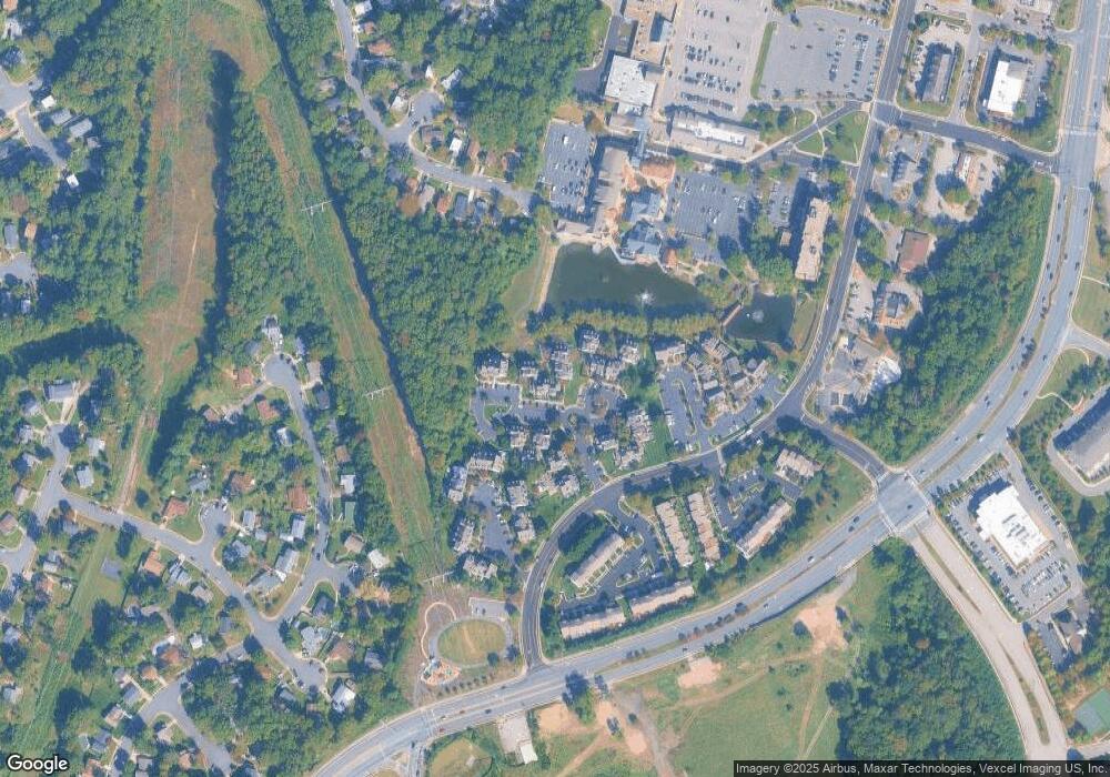
Map
Nearby Homes
- 12844 Mill House Ct
- 2038 Stargrass Ct
- 12827 Hunterbrook Dr
- 2076 Bowline Loop
- 2561 Paxton St
- 2218 Windjammer Dr
- 1947 Inglebrook Dr
- 12610 Westport Ln
- 13111 Orleans St
- 12502 Colby Dr
- 2549 Fox Ridge Ct Unit 68
- 13000 Tory Loop
- 2656 Falmouth Ct
- 2094 Pilgrim Dr
- 1785 Rockledge Terrace
- 1874 Tiger Lily Cir Unit 5
- 1865 Tiger Lily Cir
- 12682 Castile Ct
- 12662 Castile Ct
- 1916 Willow Ln
- 12813 Mill Brook Ct
- 12817 Mill Brook Ct
- 12866 Mill Brook Ct
- 12811 Mill Brook Ct
- 12819 Mill Brook Ct
- 12821 Mill Brook Ct
- 12809 Mill Brook Ct
- 12823 Mill Brook Ct
- 12807 Mill Brook Ct
- 12825 Mill Brook Ct
- 12833 Mill Brook Ct
- 12844 Mill Brook Ct
- 12835 Mill Brook Ct
- 12831 Mill Brook Ct
- 12842 Mill Brook Ct
- 12837 Mill Brook Ct
- 12837 Mill Brook Ct Unit 12837
- 12830 Mill Brook Ct
- 12829 Mill Brook Ct
- 12840 Mill Brook Ct