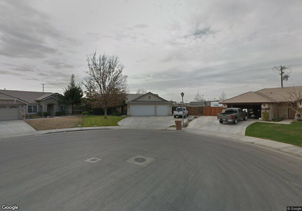
12819 Spoleto Ave Unit 1 Bakersfield, CA 93312
Nottingham Estates NeighborhoodEstimated Value: $443,978 - $457,000
4
Beds
2
Baths
1,870
Sq Ft
$241/Sq Ft
Est. Value
About This Home
This home is located at 12819 Spoleto Ave Unit 1, Bakersfield, CA 93312 and is currently estimated at $450,995, approximately $241 per square foot. 12819 Spoleto Ave Unit 1 is a home located in Kern County with nearby schools including Veterans Elementary School, Norris Middle School, and Frontier High School.
Ownership History
Date
Name
Owned For
Owner Type
Purchase Details
Closed on
Dec 5, 2000
Sold by
Centex Homes
Bought by
Fickle Allan Wayne and Fickle Chandra Jae
Current Estimated Value
Home Financials for this Owner
Home Financials are based on the most recent Mortgage that was taken out on this home.
Original Mortgage
$147,679
Interest Rate
7.06%
Mortgage Type
VA
Create a Home Valuation Report for This Property
The Home Valuation Report is an in-depth analysis detailing your home's value as well as a comparison with similar homes in the area
Home Values in the Area
Average Home Value in this Area
Purchase History
| Date | Buyer | Sale Price | Title Company |
|---|---|---|---|
| Fickle Allan Wayne | $143,500 | Chicago Title Co |
Source: Public Records
Mortgage History
| Date | Status | Borrower | Loan Amount |
|---|---|---|---|
| Previous Owner | Fickle Allan Wayne | $147,679 |
Source: Public Records
Tax History Compared to Growth
Tax History
| Year | Tax Paid | Tax Assessment Tax Assessment Total Assessment is a certain percentage of the fair market value that is determined by local assessors to be the total taxable value of land and additions on the property. | Land | Improvement |
|---|---|---|---|---|
| 2025 | $3,994 | $215,450 | $52,724 | $162,726 |
| 2024 | $3,912 | $211,227 | $51,691 | $159,536 |
| 2023 | $3,912 | $207,086 | $50,678 | $156,408 |
| 2022 | $3,843 | $203,027 | $49,685 | $153,342 |
| 2021 | $3,747 | $199,047 | $48,711 | $150,336 |
| 2020 | $3,645 | $197,007 | $48,212 | $148,795 |
| 2019 | $3,587 | $197,007 | $48,212 | $148,795 |
| 2018 | $3,498 | $189,359 | $46,341 | $143,018 |
| 2017 | $3,473 | $185,647 | $45,433 | $140,214 |
| 2016 | $3,301 | $182,008 | $44,543 | $137,465 |
| 2015 | $3,244 | $179,275 | $43,874 | $135,401 |
| 2014 | $3,174 | $175,764 | $43,015 | $132,749 |
Source: Public Records
Map
Nearby Homes
- 12804 Marradi Ave
- 12708 Knights Bridge Place
- 12515 Valentano Ave
- 12610 Knights Bridge Place
- 13012 Almondwood Cir
- 12408 Valentano Ave
- 12508 Knights Bridge Place
- 13006 Almondwood Cir
- 6006 Dartmoor Wood Ave
- 12809 Trafalgar Square Dr
- 6002 Dartmoor Wood Ave
- 12903 Spicewood Ct
- 12317 Lavina Ave
- 12305 Quiet Pasture Dr
- 12509 Willowdale Dr
- 12307 Great Country Dr
- 6110 Ozark Mountain Dr
- 13017 Plum Hallow Ave
- Hudson Plan at Palm Crossing
- Mia Plan at Palm Crossing
- 12813 Spoleto Ave
- 12820 Spoleto Ave
- 12807 Spoleto Ave Unit 1
- 12816 Marradi Ave
- 12822 Marradi Ave
- 12814 Spoleto Ave
- 12801 Spoleto Ave
- 12810 Marradi Ave
- 12808 Spoleto Ave
- 12802 Spoleto Ave Unit 1
- 12727 Spoleto Ave
- 12730 Marradi Ave
- 12728 Spoleto Ave
- 12821 Marradi Ave Unit 1
- 12721 Spoleto Ave
- 12724 Marradi Ave
- 12815 Marradi Ave
- 12809 Marradi Ave
- 12715 Spoleto Ave
- 12803 Marradi Ave Unit 1