1282 Charles Ave West Branch, IA 52358
Estimated Value: $574,000 - $680,999
7
Beds
5
Baths
2,784
Sq Ft
$217/Sq Ft
Est. Value
About This Home
This home is located at 1282 Charles Ave, West Branch, IA 52358 and is currently estimated at $604,750, approximately $217 per square foot. 1282 Charles Ave is a home located in Cedar County with nearby schools including Hoover Elementary School, West Branch Middle School, and West Branch High School.
Ownership History
Date
Name
Owned For
Owner Type
Purchase Details
Closed on
Aug 9, 2022
Sold by
Woodward Shannon C and Woodward Anne R
Bought by
Kaiser Daniel Kennedy and Kaiser Jennifer Erin
Current Estimated Value
Home Financials for this Owner
Home Financials are based on the most recent Mortgage that was taken out on this home.
Original Mortgage
$480,000
Outstanding Balance
$458,379
Interest Rate
5.7%
Mortgage Type
New Conventional
Estimated Equity
$146,371
Purchase Details
Closed on
Jan 25, 2016
Sold by
Loughran Alicia E and Dawson Brad Leon
Bought by
Woodward Shannon C and Lyle Ann R
Home Financials for this Owner
Home Financials are based on the most recent Mortgage that was taken out on this home.
Original Mortgage
$368,000
Interest Rate
4.87%
Mortgage Type
Adjustable Rate Mortgage/ARM
Create a Home Valuation Report for This Property
The Home Valuation Report is an in-depth analysis detailing your home's value as well as a comparison with similar homes in the area
Home Values in the Area
Average Home Value in this Area
Purchase History
| Date | Buyer | Sale Price | Title Company |
|---|---|---|---|
| Kaiser Daniel Kennedy | $600,000 | -- | |
| Woodward Shannon C | $334,875 | None Available |
Source: Public Records
Mortgage History
| Date | Status | Borrower | Loan Amount |
|---|---|---|---|
| Open | Kaiser Daniel Kennedy | $480,000 | |
| Previous Owner | Woodward Shannon C | $368,000 |
Source: Public Records
Tax History Compared to Growth
Tax History
| Year | Tax Paid | Tax Assessment Tax Assessment Total Assessment is a certain percentage of the fair market value that is determined by local assessors to be the total taxable value of land and additions on the property. | Land | Improvement |
|---|---|---|---|---|
| 2025 | $5,758 | $551,100 | $7,690 | $543,410 |
| 2024 | $5,758 | $454,150 | $6,310 | $447,840 |
| 2023 | $5,554 | $447,420 | $6,310 | $441,110 |
| 2022 | $4,626 | $340,720 | $2,150 | $338,570 |
| 2021 | $4,984 | $382,830 | $2,150 | $380,680 |
| 2020 | $4,848 | $340,690 | $2,310 | $338,380 |
| 2019 | $4,116 | $324,510 | $0 | $0 |
| 2018 | $5,282 | $422,760 | $0 | $0 |
| 2017 | $5,282 | $358,470 | $0 | $0 |
| 2016 | $5,036 | $358,470 | $0 | $0 |
| 2015 | $5,082 | $358,090 | $0 | $0 |
| 2014 | $5,082 | $360,090 | $0 | $0 |
Source: Public Records
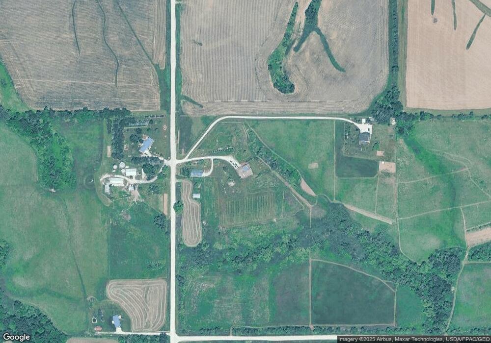
Map
Nearby Homes
- 1612 Cedar St
- 0 185th St at Dixon Ave
- 185th St
- 0 185th St & Dixon Ave
- 3149 Oasis Rd NE
- 325 Elm St
- 12 Bradley Ln Unit AB12
- 27 Bradley Ln Unit AC27
- 63 Eisenhower St Unit GB63
- T.B.D. 275th St
- 33 Lou Henry Ln Unit AM33
- 35 Lou Henry Ln Unit AM35
- 0 340th St NE Unit 2507765
- 3 Grant St Unit GR3
- 521 N 4th St Unit Louise Court Condos
- 557 N 4th St
- 121 Northridge Dr Unit 121-139
- 4 Lazy Brook Dr
- 2 Lazy Brook Dr
- 1 Ember Ln
- 1283 Charles Ave
- 1293 Charles Ave
- 1278 Charles Ave
- 1253 Charles Ave
- 294 230th St
- 1213 Plato Rd
- 1354 Charles Ave
- 1351 Charles Ave
- 0 Plato Rd Unit 5698171
- 1372 Charles Ave
- 1199 Plato Rd
- 1220 Plato Rd
- 1222 Plato Rd
- 1223 Plato Rd
- 1243 Plato Rd
- 1230 Plato Rd
- 109 Edgewood Dr
- 1248 Baker Ave
- 1304 Baker Ave
- 1300 Plato Rd