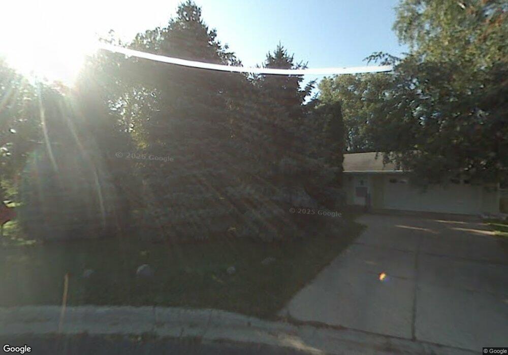
1282 Cope Ave E Maplewood, MN 55109
Sherwood Glen NeighborhoodEstimated Value: $319,346 - $347,000
3
Beds
2
Baths
505
Sq Ft
$663/Sq Ft
Est. Value
About This Home
This home is located at 1282 Cope Ave E, Maplewood, MN 55109 and is currently estimated at $334,587, approximately $662 per square foot. 1282 Cope Ave E is a home located in Ramsey County with nearby schools including Weaver Elementary School, John Glenn Middle School, and St Jerome Elementary School.
Ownership History
Date
Name
Owned For
Owner Type
Purchase Details
Closed on
Oct 28, 2016
Bought by
Htwe Soe Soe
Current Estimated Value
Home Financials for this Owner
Home Financials are based on the most recent Mortgage that was taken out on this home.
Original Mortgage
$199,820
Outstanding Balance
$160,673
Interest Rate
3.47%
Estimated Equity
$173,914
Create a Home Valuation Report for This Property
The Home Valuation Report is an in-depth analysis detailing your home's value as well as a comparison with similar homes in the area
Home Values in the Area
Average Home Value in this Area
Purchase History
| Date | Buyer | Sale Price | Title Company |
|---|---|---|---|
| Htwe Soe Soe | $206,000 | -- |
Source: Public Records
Mortgage History
| Date | Status | Borrower | Loan Amount |
|---|---|---|---|
| Open | Htwe Soe Soe | $199,820 |
Source: Public Records
Tax History
| Year | Tax Paid | Tax Assessment Tax Assessment Total Assessment is a certain percentage of the fair market value that is determined by local assessors to be the total taxable value of land and additions on the property. | Land | Improvement |
|---|---|---|---|---|
| 2025 | $3,858 | $320,800 | $60,600 | $260,200 |
| 2023 | $3,858 | $280,900 | $60,600 | $220,300 |
| 2022 | $3,394 | $278,700 | $60,600 | $218,100 |
| 2021 | $3,060 | $239,500 | $60,600 | $178,900 |
| 2020 | $3,198 | $223,100 | $60,600 | $162,500 |
| 2019 | $2,546 | $217,700 | $60,600 | $157,100 |
| 2018 | $2,452 | $181,700 | $60,600 | $121,100 |
| 2017 | $2,202 | $172,000 | $60,600 | $111,400 |
| 2016 | $1,950 | $0 | $0 | $0 |
| 2015 | $1,926 | $138,300 | $55,600 | $82,700 |
| 2014 | $1,652 | $0 | $0 | $0 |
Source: Public Records
Map
Nearby Homes
- 1442 Sandhurst Ave E
- 1290 Belmont Ln E
- 1261 Skillman Ave E
- 1515 Viking Dr E
- 2022 English St
- 1481 Sextant Ave E
- 2567 Clarence St
- 1579 Grandview Ave E
- 1705 Lark Ave
- 1984 Prosperity Rd
- 1855 Birmingham St
- 1800 Edward St
- 1875 E Shore Dr Unit 302
- 1764 English St
- 1800 E Shore Dr
- 770 Viking Dr E
- 1745 Duluth St
- 1740 English St
- 738 County Road B E
- 1669 Clarence St
- 1276 Cope Ct E
- 1276 Cope Ave E
- 1294 Cope Ave E
- 1279 Lark Ave
- 1287 Lark Ave
- 1268 Cope Ave E
- 1273 Lark Ave
- 2257 English St
- 1260 Cope Ct E
- 1260 Cope Ave E
- 1265 Lark Ave
- 1308 Cope Ave E
- 1259 Lark Ave
- 1252 Cope Ct
- 1252 Cope Ave E
- 2252 English St
- 1284 Lark Ave
- 1276 Lark Ave
- 1260 1260 Cope-Avenue-e
- 1292 Lark Ave
Your Personal Tour Guide
Ask me questions while you tour the home.