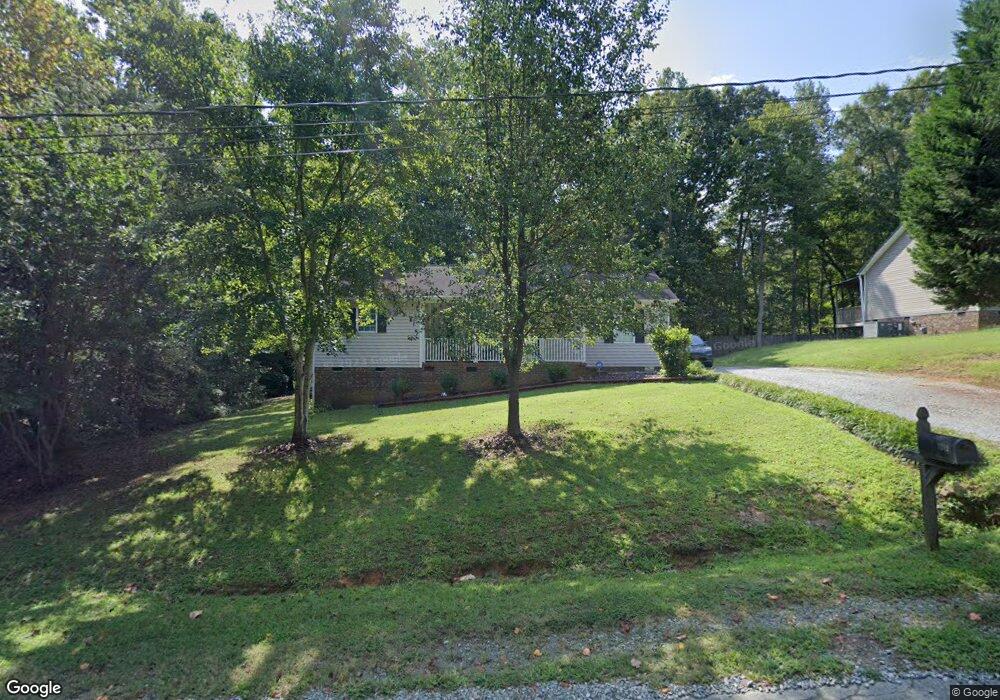
1282 Gordon St Burlington, NC 27217
North Burlington NeighborhoodEstimated Value: $255,682 - $290,000
4
Beds
2
Baths
1,297
Sq Ft
$207/Sq Ft
Est. Value
About This Home
This home is located at 1282 Gordon St, Burlington, NC 27217 and is currently estimated at $268,671, approximately $207 per square foot. 1282 Gordon St is a home located in Alamance County with nearby schools including Western Alamance Middle School, Western Alamance High School, and The Burlington School.
Ownership History
Date
Name
Owned For
Owner Type
Purchase Details
Closed on
Jan 23, 2007
Sold by
Mitchell Billy L
Bought by
Lofland Gewndolyn D
Current Estimated Value
Home Financials for this Owner
Home Financials are based on the most recent Mortgage that was taken out on this home.
Original Mortgage
$94,000
Outstanding Balance
$55,672
Interest Rate
6.05%
Mortgage Type
New Conventional
Estimated Equity
$212,999
Create a Home Valuation Report for This Property
The Home Valuation Report is an in-depth analysis detailing your home's value as well as a comparison with similar homes in the area
Home Values in the Area
Average Home Value in this Area
Purchase History
| Date | Buyer | Sale Price | Title Company |
|---|---|---|---|
| Lofland Gewndolyn D | $94,000 | -- |
Source: Public Records
Mortgage History
| Date | Status | Borrower | Loan Amount |
|---|---|---|---|
| Open | Lofland Gewndolyn D | $94,000 |
Source: Public Records
Tax History Compared to Growth
Tax History
| Year | Tax Paid | Tax Assessment Tax Assessment Total Assessment is a certain percentage of the fair market value that is determined by local assessors to be the total taxable value of land and additions on the property. | Land | Improvement |
|---|---|---|---|---|
| 2025 | $1,557 | $262,152 | $18,909 | $243,243 |
| 2024 | $1,456 | $262,152 | $18,909 | $243,243 |
| 2023 | $1,345 | $262,152 | $18,909 | $243,243 |
| 2022 | $927 | $120,977 | $25,235 | $95,742 |
| 2021 | $937 | $120,977 | $25,235 | $95,742 |
| 2020 | $943 | $120,977 | $25,235 | $95,742 |
| 2019 | $944 | $120,977 | $25,235 | $95,742 |
| 2018 | $0 | $120,977 | $25,235 | $95,742 |
| 2017 | $835 | $120,977 | $25,235 | $95,742 |
| 2016 | $861 | $124,722 | $25,235 | $99,487 |
| 2015 | $859 | $125,140 | $25,235 | $99,905 |
| 2014 | -- | $125,140 | $25,235 | $99,905 |
Source: Public Records
Map
Nearby Homes
- 1235 Saint Regis Dr
- 2309 Pinecroft Dr
- 2307 Pinecroft Dr
- 2249 Pinecroft Dr
- 2230 Burch Bridge Rd
- 1349 Durham Meadows Dr
- 1181 Flora Ave
- 2207 Troendly St
- 2615 Mableton Dr
- 2518 Macleod St
- 2068 Dresden Dr
- L1 Dandora Rd
- L2 Brookside Dr
- L1 Brookside Dr
- 804 S Ridge Rd
- 1874 Stratford Rd
- 1420 Valleywood Ct
- 0 Valleywood Ct
- 1735 Prince Edward Dr
- 1816 Chandler St
- 1304 Gordon St
- 1327 Saint Regis Dr
- 1312 Gordon St
- 1315 Saint Regis Dr Unit A
- 1315 Saint Regis Dr
- 1261 Gordon St
- 1258 Gordon St
- 1303 Saint Regis Dr
- 0 Saint Regis Dr
- 1247 Gordon St
- 1322 Gordon St
- 1367 Saint Regis Dr
- 1333 Gordon St
- 1344 Saint Regis Dr
- 1352 Saint Regis Dr
- 2372 Pinecroft Dr
- 1373 Saint Regis Dr
- 2364 Pinecroft Dr
- 1356 Saint Regis Dr
- 2556 Riverview Dr