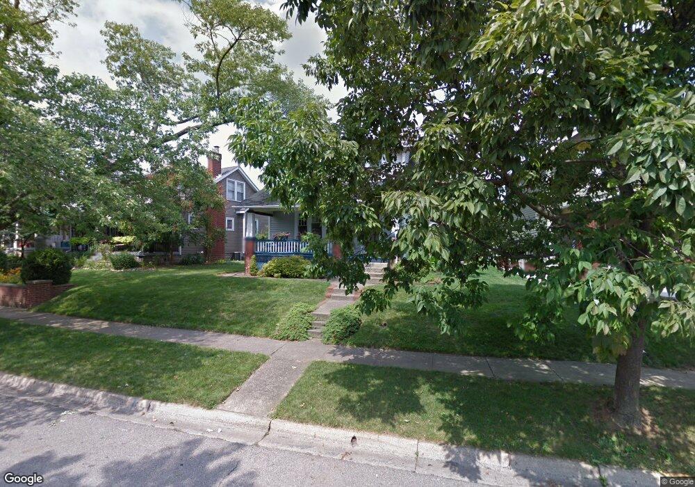
1282 Mulford Rd Columbus, OH 43212
Estimated Value: $506,000 - $606,000
3
Beds
2
Baths
1,364
Sq Ft
$407/Sq Ft
Est. Value
About This Home
This home is located at 1282 Mulford Rd, Columbus, OH 43212 and is currently estimated at $555,639, approximately $407 per square foot. 1282 Mulford Rd is a home located in Franklin County with nearby schools including Robert Louis Stevenson Elementary School, Larson Middle School, and Grandview Heights High School.
Ownership History
Date
Name
Owned For
Owner Type
Purchase Details
Closed on
Dec 29, 2000
Sold by
Klepic Klepic Margaret L Margaret L and Klepic Margaret
Bought by
Klepic Wright Iii Clarence Eugene and Klepic Wright Margaret
Current Estimated Value
Purchase Details
Closed on
Jul 20, 1992
Bought by
Klepic Margaret L
Purchase Details
Closed on
Apr 1, 1985
Purchase Details
Closed on
Oct 1, 1978
Create a Home Valuation Report for This Property
The Home Valuation Report is an in-depth analysis detailing your home's value as well as a comparison with similar homes in the area
Home Values in the Area
Average Home Value in this Area
Purchase History
| Date | Buyer | Sale Price | Title Company |
|---|---|---|---|
| Klepic Wright Iii Clarence Eugene | -- | -- | |
| Klepic Margaret L | $99,000 | -- | |
| -- | -- | -- | |
| -- | $47,500 | -- |
Source: Public Records
Tax History Compared to Growth
Tax History
| Year | Tax Paid | Tax Assessment Tax Assessment Total Assessment is a certain percentage of the fair market value that is determined by local assessors to be the total taxable value of land and additions on the property. | Land | Improvement |
|---|---|---|---|---|
| 2024 | $9,268 | $158,910 | $85,160 | $73,750 |
| 2023 | $8,119 | $158,910 | $85,160 | $73,750 |
| 2022 | $7,911 | $131,850 | $48,020 | $83,830 |
| 2021 | $7,406 | $131,850 | $48,020 | $83,830 |
| 2020 | $7,376 | $131,850 | $48,020 | $83,830 |
| 2019 | $7,068 | $111,830 | $48,020 | $63,810 |
| 2018 | $6,510 | $111,830 | $48,020 | $63,810 |
| 2017 | $6,287 | $111,830 | $48,020 | $63,810 |
| 2016 | $5,983 | $86,910 | $38,920 | $47,990 |
| 2015 | $5,983 | $86,910 | $38,920 | $47,990 |
| 2014 | $6,001 | $86,910 | $38,920 | $47,990 |
| 2013 | $2,636 | $78,995 | $35,385 | $43,610 |
Source: Public Records
Map
Nearby Homes
- 945 Quay Ave Unit 945E
- 945 Quay Ave Unit G
- 932 Mcclain Rd
- 1225 Eastview Ave
- 1081 W 3rd Ave
- 1240 Oxley Rd
- 1242 Oxley Rd
- 943 Timberman Rd
- 1083 W 3rd Ave
- 1095 W 3rd Ave
- 1093 W 3rd Ave
- 1280 Broadview Ave
- 1378 Morning Ave
- 1343 Thornwood Place
- 1475 W 3rd Ave Unit 204
- 1068 Edgehill Rd
- 1124 Edgehill Rd
- 1317 Broadview Ave
- 922 Northwest Blvd
- 910-912 Northwest Blvd
- 1286 Mulford Rd
- 1272 Mulford Rd
- 1292 Mulford Rd
- 1049 Virginia Ave
- 1300 Mulford Rd
- 1051 Virginia Ave
- 1279 Inglis Ave
- 1304 Mulford Rd
- 1285 Inglis Ave
- 1273 Inglis Ave
- 1055 Virginia Ave
- 1289 Inglis Ave
- 1268 Mulford Rd
- 1283 Mulford Rd
- 1279 Mulford Rd
- 1308 Mulford Rd
- 1285 Mulford Rd
- 1291 Mulford Rd
- 1295 Inglis Ave
- 1305 Mulford Rd