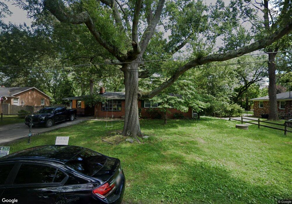
12821 Simpson Dr Waldorf, MD 20602
Estimated Value: $340,000 - $360,000
Studio
1
Bath
1,269
Sq Ft
$276/Sq Ft
Est. Value
About This Home
This home is located at 12821 Simpson Dr, Waldorf, MD 20602 and is currently estimated at $350,464, approximately $276 per square foot. 12821 Simpson Dr is a home located in Charles County with nearby schools including J.P. Ryon Elementary School, Milton M. Somers Middle School, and St. Charles High School.
Ownership History
Date
Name
Owned For
Owner Type
Purchase Details
Closed on
Dec 18, 2012
Sold by
Castello Peter and Estate Of Peter T Castello
Bought by
Limerick Joseph and Limerick Judith
Current Estimated Value
Create a Home Valuation Report for This Property
The Home Valuation Report is an in-depth analysis detailing your home's value as well as a comparison with similar homes in the area
Home Values in the Area
Average Home Value in this Area
Purchase History
| Date | Buyer | Sale Price | Title Company |
|---|---|---|---|
| Limerick Joseph | $50,000 | Brennan Title Company |
Source: Public Records
Tax History
| Year | Tax Paid | Tax Assessment Tax Assessment Total Assessment is a certain percentage of the fair market value that is determined by local assessors to be the total taxable value of land and additions on the property. | Land | Improvement |
|---|---|---|---|---|
| 2025 | $4,077 | $282,600 | -- | -- |
| 2024 | $3,807 | $264,600 | $0 | $0 |
| 2023 | $3,547 | $246,600 | $113,000 | $133,600 |
| 2022 | $3,386 | $236,833 | $0 | $0 |
| 2021 | $3,078 | $227,067 | $0 | $0 |
| 2020 | $3,078 | $217,300 | $105,600 | $111,700 |
| 2019 | $3,078 | $211,933 | $0 | $0 |
| 2018 | $2,882 | $206,567 | $0 | $0 |
| 2017 | $2,806 | $201,200 | $0 | $0 |
| 2016 | -- | $197,567 | $0 | $0 |
| 2015 | $2,779 | $193,933 | $0 | $0 |
| 2014 | $2,779 | $190,300 | $0 | $0 |
Source: Public Records
Map
Nearby Homes
- 12816 Thompson Dr
- 4285 Marion Ln
- 4499 Leonardtown Rd
- 3725 Pecan Ct
- 3719 Pecan Ct
- 3825 Primrose Dr
- 2482 Quadrille Ct
- 36 Kings Wharf Place
- 3540 Seagrape Ct
- 2761 Red Lion Place
- 3577 Snowbell Ct
- 3502 Sugar Maple Ct
- 2575 Robinson Place
- 2584 Sussex Ct
- 2293 Vine Hill Ct
- 2637 Rooks Head Place
- 3539 Smokethorn Ct
- 2509 Robinson Place
- 1003 Poston Dr
- 3492 Sour Cherry Ct
- 12817 Simpson Dr
- 12825 Simpson Dr
- 12850 Owens Dr
- 12813 Simpson Dr
- 12854C Owens Dr
- 12854 Owens Dr
- 12854 Owens Dr
- 12818 Simpson Dr
- 12826 Simpson Dr
- 12846 Owens Dr
- 12856B Owens Dr
- 12830 Simpson Dr
- 12833 Simpson Dr
- 12814 Simpson Dr
- 12858A Owens Dr
- 12807 Thompson Dr
- 12815 Thompson Dr
- 12834 Simpson Dr
- 12845 Owens Dr
- 12849 Owens Dr