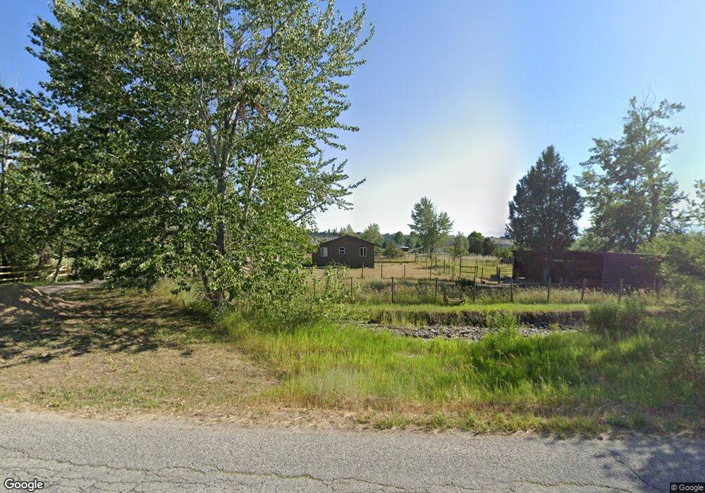
1283 Middle Burnt Fork Rd Stevensville, MT 59870
Estimated Value: $349,396 - $771,000
2
Beds
1
Bath
928
Sq Ft
$535/Sq Ft
Est. Value
About This Home
This home is located at 1283 Middle Burnt Fork Rd, Stevensville, MT 59870 and is currently estimated at $496,099, approximately $534 per square foot. 1283 Middle Burnt Fork Rd is a home located in Ravalli County with nearby schools including Stevensville Elementary School, Stevensville Junior High School, and Stevensville High School.
Ownership History
Date
Name
Owned For
Owner Type
Purchase Details
Closed on
Nov 16, 2022
Sold by
Hoefke Ronald R
Bought by
Kauffman James
Current Estimated Value
Home Financials for this Owner
Home Financials are based on the most recent Mortgage that was taken out on this home.
Original Mortgage
$167,200
Outstanding Balance
$162,137
Interest Rate
7.08%
Mortgage Type
New Conventional
Estimated Equity
$333,962
Purchase Details
Closed on
Dec 21, 2011
Sold by
Kimp Roni L
Bought by
Hoefke Ronald R
Create a Home Valuation Report for This Property
The Home Valuation Report is an in-depth analysis detailing your home's value as well as a comparison with similar homes in the area
Home Values in the Area
Average Home Value in this Area
Purchase History
| Date | Buyer | Sale Price | Title Company |
|---|---|---|---|
| Kauffman James | -- | -- | |
| Hoefke Ronald R | -- | First American Title |
Source: Public Records
Mortgage History
| Date | Status | Borrower | Loan Amount |
|---|---|---|---|
| Open | Kauffman James | $167,200 |
Source: Public Records
Tax History Compared to Growth
Tax History
| Year | Tax Paid | Tax Assessment Tax Assessment Total Assessment is a certain percentage of the fair market value that is determined by local assessors to be the total taxable value of land and additions on the property. | Land | Improvement |
|---|---|---|---|---|
| 2025 | $822 | $260,460 | $0 | $0 |
| 2024 | $1,156 | $206,550 | $0 | $0 |
| 2023 | $1,160 | $206,550 | $0 | $0 |
| 2022 | $243 | $174,400 | $0 | $0 |
| 2021 | $263 | $174,400 | $0 | $0 |
| 2020 | $243 | $154,100 | $0 | $0 |
| 2019 | $241 | $154,100 | $0 | $0 |
| 2018 | $217 | $144,900 | $0 | $0 |
| 2017 | $203 | $144,900 | $0 | $0 |
| 2016 | $185 | $126,200 | $0 | $0 |
| 2015 | $186 | $126,200 | $0 | $0 |
| 2014 | $193 | $78,705 | $0 | $0 |
Source: Public Records
Map
Nearby Homes
- Lot 32-A Drovers Trail
- 3340 Rome Ln
- 1073 N Burnt Fork Rd
- Nhn S Sunset Bench Rd
- 711 Middle Burnt Fork Rd
- nhn Prosperity Heights Dr
- 208 Barnwood Way
- 165 Barnwood Way
- 1030 S Sunset Bench Rd
- 3661 Sagehill Dr
- Parcel I Chase Ln
- Parcel A Chase Ln
- Parcel C Chase Ln
- Lot 2 Reed Butte Rd
- 3858 Reed Butte Rd
- 1071 Prairie Ln
- 586 Cash Nichols Rd
- 999 Websters Way
- Parcel B Chase Ln
- 951 Summit View Way
- 1295 Middle Burnt Fork Rd
- 3288 New Hope Ln
- 3318 New Hope Ln
- 3344 New Hope Ln
- 1271 Middle Burnt Fork Rd
- Nhn New Hope Ln
- 3319 New Hope Ln
- 3341 New Hope Ln
- 1352 Middle Burnt Fork Rd
- 3317 New Hope Ln
- 3315 New Hope Ln
- 1218 Middle Burnt Fork Rd
- 3289 Wood Duck Ln
- Middle Burnt Fork Rd
- 1354 Middle Burnt Fork Rd
- The Quiet Place
- 3325 U Brnt Frk Schl Rd
- 3041 U Brnt Frk Schl Rd
- 1416 Christianson Ln
- 1462 Christianson Ln