Estimated Value: $366,000 - $432,000
--
Bed
2
Baths
1,734
Sq Ft
$228/Sq Ft
Est. Value
About This Home
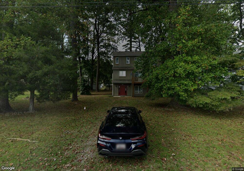
This home is located at 12831 Bay Dr, Lusby, MD 20657 and is currently estimated at $394,501, approximately $227 per square foot. 12831 Bay Dr is a home located in Calvert County with nearby schools including Dowell Elementary School, Mill Creek Middle School, and Patuxent High School.
Ownership History
Date
Name
Owned For
Owner Type
Purchase Details
Closed on
Dec 29, 1988
Sold by
Ford Development Corporation
Bought by
Stephenson Stephenson R and Stephenson Sally H
Current Estimated Value
Home Financials for this Owner
Home Financials are based on the most recent Mortgage that was taken out on this home.
Original Mortgage
$129,600
Interest Rate
10.68%
Purchase Details
Closed on
Jul 11, 1988
Sold by
Schramm Robert F
Bought by
Ford Development Corporation
Purchase Details
Closed on
Apr 6, 1988
Sold by
Pugh Ann E
Bought by
Schramm Robert F
Home Financials for this Owner
Home Financials are based on the most recent Mortgage that was taken out on this home.
Original Mortgage
$10,000
Interest Rate
10.05%
Create a Home Valuation Report for This Property
The Home Valuation Report is an in-depth analysis detailing your home's value as well as a comparison with similar homes in the area
Home Values in the Area
Average Home Value in this Area
Purchase History
| Date | Buyer | Sale Price | Title Company |
|---|---|---|---|
| Stephenson Stephenson R | $162,000 | -- | |
| Ford Development Corporation | $25,000 | -- | |
| Schramm Robert F | $23,000 | -- |
Source: Public Records
Mortgage History
| Date | Status | Borrower | Loan Amount |
|---|---|---|---|
| Closed | Stephenson Stephenson R | $129,600 | |
| Previous Owner | Schramm Robert F | $10,000 |
Source: Public Records
Tax History Compared to Growth
Tax History
| Year | Tax Paid | Tax Assessment Tax Assessment Total Assessment is a certain percentage of the fair market value that is determined by local assessors to be the total taxable value of land and additions on the property. | Land | Improvement |
|---|---|---|---|---|
| 2025 | $3,546 | $310,233 | $0 | $0 |
| 2024 | $3,546 | $292,267 | $0 | $0 |
| 2023 | $3,239 | $274,300 | $145,800 | $128,500 |
| 2022 | $2,823 | $271,700 | $0 | $0 |
| 2021 | $2,552 | $269,100 | $0 | $0 |
| 2020 | $3,102 | $266,500 | $145,800 | $120,700 |
| 2019 | $2,796 | $266,500 | $145,800 | $120,700 |
| 2018 | $2,796 | $266,500 | $145,800 | $120,700 |
| 2017 | $3,140 | $267,100 | $0 | $0 |
| 2016 | -- | $267,100 | $0 | $0 |
| 2015 | $3,572 | $267,100 | $0 | $0 |
| 2014 | $3,572 | $269,300 | $0 | $0 |
Source: Public Records
Map
Nearby Homes
- 12805 Bay Dr
- 484 Lake Dr
- 12921 Pine Ln
- 454 Dogwood Dr
- 460 Deer Ln
- 12959 Pine Ln
- 12759 Tonkawa Trail
- 12817 Abilene Trail
- 547 Iris Ln
- 425 Rodeo Rd
- 12948 Huron Dr
- 422 Lessin Dr
- 12728 Cordova Ct
- 12667 Amarillo Dr
- 12987 Holly Way
- 340 Chestnut Dr
- 330 Lessin Dr
- 356 Clubhouse Dr
- 12924 Rousby Hall Rd
- 419 Seagull Ln