12832 Johnston Rd Leslie, MI 49251
Estimated Value: $241,000 - $563,000
Studio
--
Bath
--
Sq Ft
18.8
Acres
About This Home
This home is located at 12832 Johnston Rd, Leslie, MI 49251 and is currently estimated at $399,838. 12832 Johnston Rd is a home located in Jackson County with nearby schools including Northwest Early Elementary School, Northwest Elementary School, and Northwest Middle School.
Ownership History
Date
Name
Owned For
Owner Type
Purchase Details
Closed on
May 12, 2021
Sold by
Gengler Robert J and Gengler Ian Gail
Bought by
Gengler Robert J and Reid Carli
Current Estimated Value
Home Financials for this Owner
Home Financials are based on the most recent Mortgage that was taken out on this home.
Original Mortgage
$324,000
Interest Rate
2.8%
Mortgage Type
Future Advance Clause Open End Mortgage
Purchase Details
Closed on
Nov 3, 2014
Sold by
Gengler Robert
Bought by
Gengler Robert and Gengler Margaret
Purchase Details
Closed on
Nov 22, 2005
Sold by
Swiler Dale G and Swiler Janet M
Bought by
Gengler Robert J
Home Financials for this Owner
Home Financials are based on the most recent Mortgage that was taken out on this home.
Original Mortgage
$90,000
Interest Rate
9.37%
Mortgage Type
Fannie Mae Freddie Mac
Create a Home Valuation Report for This Property
The Home Valuation Report is an in-depth analysis detailing your home's value as well as a comparison with similar homes in the area
Purchase History
| Date | Buyer | Sale Price | Title Company |
|---|---|---|---|
| Gengler Robert J | -- | None Available | |
| Gengler Robert | -- | None Available | |
| Gengler Robert J | $90,000 | Bell Title Company |
Source: Public Records
Mortgage History
| Date | Status | Borrower | Loan Amount |
|---|---|---|---|
| Closed | Gengler Robert J | $324,000 | |
| Closed | Gengler Robert J | $90,000 |
Source: Public Records
Tax History
| Year | Tax Paid | Tax Assessment Tax Assessment Total Assessment is a certain percentage of the fair market value that is determined by local assessors to be the total taxable value of land and additions on the property. | Land | Improvement |
|---|---|---|---|---|
| 2025 | $5,237 | $214,800 | $214,800 | $0 |
| 2024 | $29 | $193,200 | $193,200 | $0 |
| 2023 | $2,793 | $182,000 | $182,000 | $0 |
| 2022 | $4,750 | $166,300 | $166,300 | $0 |
| 2021 | $2,047 | $61,300 | $61,300 | $0 |
| 2020 | $2,016 | $52,000 | $0 | $0 |
| 2019 | $1,233 | $40,600 | $0 | $0 |
| 2018 | $1,249 | $48,400 | $0 | $0 |
| 2017 | $1,174 | $48,500 | $0 | $0 |
| 2016 | $854 | $46,600 | $46,600 | $0 |
| 2015 | $1,118 | $39,400 | $39,400 | $0 |
| 2014 | $1,118 | $38,700 | $38,700 | $0 |
| 2013 | -- | $38,700 | $38,700 | $0 |
Source: Public Records
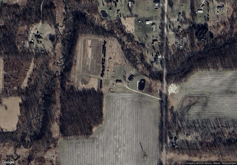
Map
Nearby Homes
- 12019 Berryville Rd
- 12000 Churchill Rd
- 5100 Churchill Rd
- 0 Country River Dr Unit 25055071
- 43 Bryde Dr
- 12045 Bryde Dr
- 12650 State Rd
- 114 S High St
- 301 Mill St
- 428 Blair St
- 110 N Main St
- 110 E Bellevue St
- 1150 Losey Rd
- 714 Mill St Unit 54
- 714 Mill St Unit 70
- 714 Mill St Unit 14
- 714 Mill St Unit 75
- 714 Mill St Unit 18
- 714 Mill St Unit 30
- 714 Mill St Unit 27
- 12850 Johnston Rd
- 12897 Johnston Rd
- 12900 Johnston Rd
- 12907 Johnston Rd
- 13000 Johnston Rd
- 12920 Johnston Rd
- 12925 Johnston Rd
- 12832 Johnston Rd
- 3051 Baseline Rd
- 3139 Baseline Rd
- 3124 Baseline Rd
- 3033 Baseline Rd
- 3151 Baseline Rd
- 3110 Baseline Rd
- 12665 Johnston Rd
- 2993 Baseline Rd
- 3233 Baseline Rd
- 3309 Baseline Rd
- 3319 Baseline Rd
- 2929 Baseline Rd
Your Personal Tour Guide
Ask me questions while you tour the home.