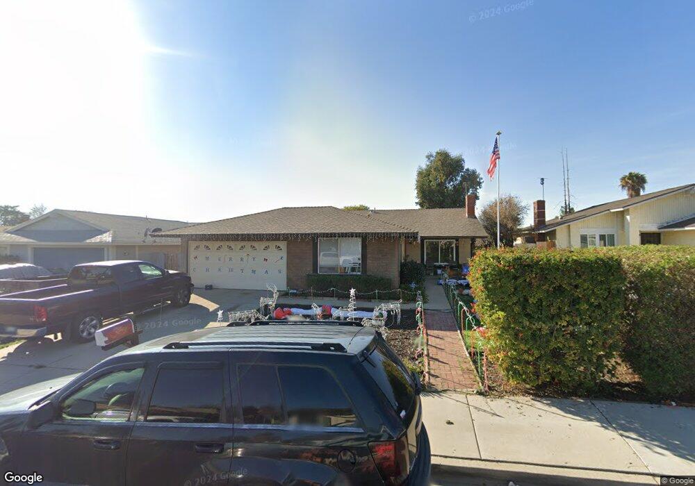
12833 Foreman Ave Moreno Valley, CA 92553
Bear Valley NeighborhoodEstimated Value: $476,210 - $562,000
4
Beds
2
Baths
1,568
Sq Ft
$329/Sq Ft
Est. Value
About This Home
This home is located at 12833 Foreman Ave, Moreno Valley, CA 92553 and is currently estimated at $516,053, approximately $329 per square foot. 12833 Foreman Ave is a home located in Riverside County with nearby schools including Butterfield Elementary School, Mountain View Middle, and Valley View High School.
Ownership History
Date
Name
Owned For
Owner Type
Purchase Details
Closed on
Sep 16, 1998
Sold by
Federal National Mortgage Association
Bought by
Hammon David A and Hammon Wendi M
Current Estimated Value
Home Financials for this Owner
Home Financials are based on the most recent Mortgage that was taken out on this home.
Original Mortgage
$92,820
Outstanding Balance
$19,639
Interest Rate
6.79%
Mortgage Type
VA
Estimated Equity
$496,414
Purchase Details
Closed on
Jun 11, 1998
Sold by
Ball Lois M
Bought by
Federal National Mortgage Association
Purchase Details
Closed on
Oct 1, 1993
Sold by
Ball Stephen D
Bought by
Ball Lois M
Create a Home Valuation Report for This Property
The Home Valuation Report is an in-depth analysis detailing your home's value as well as a comparison with similar homes in the area
Home Values in the Area
Average Home Value in this Area
Purchase History
| Date | Buyer | Sale Price | Title Company |
|---|---|---|---|
| Hammon David A | $91,000 | Commonwealth Land Title Co | |
| Federal National Mortgage Association | $80,000 | First American Title Ins Co | |
| Ball Lois M | -- | -- |
Source: Public Records
Mortgage History
| Date | Status | Borrower | Loan Amount |
|---|---|---|---|
| Open | Hammon David A | $92,820 |
Source: Public Records
Tax History
| Year | Tax Paid | Tax Assessment Tax Assessment Total Assessment is a certain percentage of the fair market value that is determined by local assessors to be the total taxable value of land and additions on the property. | Land | Improvement |
|---|---|---|---|---|
| 2025 | $1,715 | $142,628 | $31,336 | $111,292 |
| 2023 | $1,715 | $137,091 | $30,120 | $106,971 |
| 2022 | $3,527 | $134,404 | $29,530 | $104,874 |
| 2021 | $3,497 | $131,769 | $28,951 | $102,818 |
| 2020 | $3,436 | $130,419 | $28,655 | $101,764 |
| 2019 | $3,411 | $127,863 | $28,094 | $99,769 |
| 2018 | $3,376 | $125,357 | $27,545 | $97,812 |
| 2017 | $3,324 | $122,900 | $27,005 | $95,895 |
| 2016 | $1,505 | $120,491 | $26,476 | $94,015 |
| 2015 | $1,485 | $118,682 | $26,079 | $92,603 |
| 2014 | $1,388 | $116,359 | $25,569 | $90,790 |
Source: Public Records
Map
Nearby Homes
- 24384 Fir Ave
- 24320 Fir Ave
- 12830 Perris Blvd Unit C10
- 12830 Perris Blvd Unit C7
- 13097 Shirebourn Rd
- 13183 Tacoma Dr
- 24921 Fir Ave
- 25407 Steffy Cir
- 25139 Elder Ave
- 24800 Myers Ave
- 13302 Patricia Ln
- 25521 Elder Ave
- 25796 Sweetleaf St
- 25212 Hemlock Ave
- 12240 Westerly Trail
- 12215 Carnation Ln Unit D
- 12175 Carnation Ln Unit B
- 4812700 15 Myers Ave
- 12198 Orchid Ln
- 0 Webster Ave Unit IV26039553
- 12821 Foreman Ave
- 12845 Foreman Ave
- 12795 Foreman Ave
- 12857 Foreman Ave
- 25235 Branding Iron Way
- 25248 Branding Iron Way
- 25232 Maynard Dr
- 12869 Foreman Ave
- 12783 Foreman Ave
- 12832 Foreman Ave
- 12844 Foreman Ave
- 12820 Foreman Ave
- 25246 Maynard Dr
- 12856 Foreman Ave
- 12796 Foreman Ave
- 25234 Branding Iron Way
- 25221 Branding Iron Way
- 25218 Maynard Dr
- 12868 Foreman Ave
- 25253 Fir Ave
Your Personal Tour Guide
Ask me questions while you tour the home.