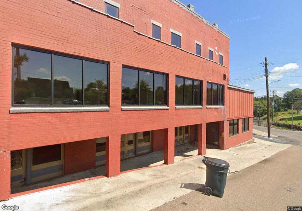
12838 Highway 19 N Ripley, TN 38063
Estimated Value: $221,000 - $281,098
--
Bed
3
Baths
1,726
Sq Ft
$151/Sq Ft
Est. Value
About This Home
This home is located at 12838 Highway 19 N, Ripley, TN 38063 and is currently estimated at $260,275, approximately $150 per square foot. 12838 Highway 19 N is a home located in Haywood County with nearby schools including Anderson Early Childhood Center, Haywood Elementary School, and East Side Elementary School.
Ownership History
Date
Name
Owned For
Owner Type
Purchase Details
Closed on
Jun 27, 2015
Sold by
Land Johnny A
Bought by
Smith Jesse
Current Estimated Value
Home Financials for this Owner
Home Financials are based on the most recent Mortgage that was taken out on this home.
Original Mortgage
$137,902
Outstanding Balance
$107,790
Interest Rate
3.93%
Mortgage Type
VA
Estimated Equity
$152,485
Purchase Details
Closed on
Aug 23, 2004
Bought by
Land Johnny A
Purchase Details
Closed on
Sep 23, 2002
Bought by
Land Johnny A
Purchase Details
Closed on
Nov 1, 1989
Bought by
Land Ruth H
Create a Home Valuation Report for This Property
The Home Valuation Report is an in-depth analysis detailing your home's value as well as a comparison with similar homes in the area
Home Values in the Area
Average Home Value in this Area
Purchase History
| Date | Buyer | Sale Price | Title Company |
|---|---|---|---|
| Smith Jesse | $135,000 | -- | |
| Land Johnny A | $600 | -- | |
| Land Johnny A | $120,000 | -- | |
| Land Ruth H | $12,500 | -- |
Source: Public Records
Mortgage History
| Date | Status | Borrower | Loan Amount |
|---|---|---|---|
| Open | Smith Jesse | $137,902 |
Source: Public Records
Tax History Compared to Growth
Tax History
| Year | Tax Paid | Tax Assessment Tax Assessment Total Assessment is a certain percentage of the fair market value that is determined by local assessors to be the total taxable value of land and additions on the property. | Land | Improvement |
|---|---|---|---|---|
| 2024 | $1,253 | $64,950 | $8,775 | $56,175 |
| 2023 | $1,063 | $38,575 | $5,550 | $33,025 |
| 2022 | $1,063 | $38,575 | $5,550 | $33,025 |
| 2021 | $1,063 | $38,575 | $5,550 | $33,025 |
| 2020 | $1,063 | $38,575 | $5,550 | $33,025 |
| 2019 | $1,063 | $38,575 | $5,550 | $33,025 |
| 2018 | $1,152 | $40,075 | $5,550 | $34,525 |
| 2017 | $1,152 | $40,075 | $5,550 | $34,525 |
| 2016 | $1,062 | $40,075 | $5,550 | $34,525 |
| 2015 | $960 | $40,075 | $5,550 | $34,525 |
| 2014 | -- | $40,700 | $5,550 | $35,150 |
Source: Public Records
Map
Nearby Homes
- 100 Springhill Rd
- -- Holcomb Rd
- 2143 Toulon Rd
- 849 Belton Rd
- 0 Forked Deer Rd
- 75 Belton Rd
- 3845 Forked Deer Rd
- 1777 Durhamville Rd
- 000 Conner Whitefield Rd
- 2080 Durhamville Rd
- 4765 Conner Whitefield Rd
- 132 Skyline Dr
- 0 Eastland Ave
- 307 Eastland Ave
- 2656 Curve Woodville Rd
- 5720 Conner Whitefield Rd
- 1001 Hyde Rd
- 0 Floyd Akin Rd
- 6889 Fulton Rd
- -- Saint Peters Rd
- 12876 Highway 19 N
- 12838 Highway 19 N
- 12990 Highway 19 N
- 12886 Highway 19 N
- 12798 Highway 19 N
- 12704 Highway 19 N
- 12671 Highway 19 N
- 6005 Highway 19 E
- 59 Edward Grove Rd
- 370 Springhill Rd
- 340 Springhill Rd
- 353 Springhill Rd
- 5978 Highway 19 E
- 12259 Highway 19 E
- 270 Springhill Rd
- 190 Springhill Rd
- 240 Springhill Rd
- 160 Springhill Rd
- 130 Springhill Rd
- 70 Springhill Rd
