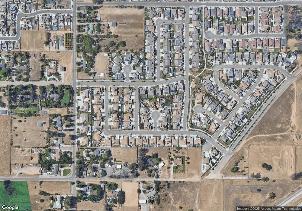
1284 N Kaweah Ave Clovis, CA 93619
Estimated Value: $866,000 - $1,042,841
5
Beds
4
Baths
3,364
Sq Ft
$290/Sq Ft
Est. Value
About This Home
This home is located at 1284 N Kaweah Ave, Clovis, CA 93619 and is currently estimated at $975,947, approximately $290 per square foot. 1284 N Kaweah Ave is a home with nearby schools including Dry Creek Elementary School, Alta Sierra Intermediate School, and Buchanan High School.
Ownership History
Date
Name
Owned For
Owner Type
Purchase Details
Closed on
Oct 29, 2015
Sold by
Seng Sophanita D
Bought by
Seng Lundi
Current Estimated Value
Home Financials for this Owner
Home Financials are based on the most recent Mortgage that was taken out on this home.
Original Mortgage
$534,927
Outstanding Balance
$420,733
Interest Rate
3.87%
Mortgage Type
New Conventional
Estimated Equity
$555,215
Purchase Details
Closed on
Oct 5, 2015
Sold by
Ucp Barclay Iii Llc
Bought by
Seng Lundi
Home Financials for this Owner
Home Financials are based on the most recent Mortgage that was taken out on this home.
Original Mortgage
$534,927
Outstanding Balance
$420,733
Interest Rate
3.87%
Mortgage Type
New Conventional
Estimated Equity
$555,215
Create a Home Valuation Report for This Property
The Home Valuation Report is an in-depth analysis detailing your home's value as well as a comparison with similar homes in the area
Home Values in the Area
Average Home Value in this Area
Purchase History
| Date | Buyer | Sale Price | Title Company |
|---|---|---|---|
| Seng Lundi | -- | Old Republic Title Company | |
| Seng Lundi | $594,500 | Old Republic Title Company |
Source: Public Records
Mortgage History
| Date | Status | Borrower | Loan Amount |
|---|---|---|---|
| Open | Seng Lundi | $534,927 |
Source: Public Records
Tax History
| Year | Tax Paid | Tax Assessment Tax Assessment Total Assessment is a certain percentage of the fair market value that is determined by local assessors to be the total taxable value of land and additions on the property. | Land | Improvement |
|---|---|---|---|---|
| 2025 | $9,075 | $730,336 | $147,972 | $582,364 |
| 2023 | $8,709 | $701,978 | $142,227 | $559,751 |
| 2022 | $8,589 | $688,215 | $139,439 | $548,776 |
| 2021 | $8,332 | $674,721 | $136,705 | $538,016 |
| 2020 | $8,296 | $667,804 | $135,304 | $532,500 |
| 2019 | $8,137 | $654,710 | $132,651 | $522,059 |
| 2018 | $7,961 | $641,873 | $130,050 | $511,823 |
| 2017 | $7,553 | $606,288 | $127,500 | $478,788 |
| 2016 | $7,057 | $49,171 | $49,171 | $0 |
| 2015 | $689 | $0 | $0 | $0 |
Source: Public Records
Map
Nearby Homes
- 1345 N Kaweah Ave
- 1347 N Redington Ave
- 3088 Teague Ave
- 3091 Teague Ave
- Residence 6 Plan at Granville Estates at Deauville East
- Residence 7 Plan at Granville Estates at Deauville East
- Residence 5 Plan at Granville Estates at Deauville East
- 1675 N Blackwood Ave
- 2944 Vermont Ave
- 1521 N Encoure Way
- 1719 N Whitmore Ave
- 1687 N Blackwood Ave
- 1503 N Reunion Way
- The Cali Plan at Deauville East - Traditional Series
- The Everly Plan at Deauville East - Traditional Series
- The Aria Plan at Deauville East - Traditional Series
- The Benton Plan at Deauville East - Traditional Series
- The Pasatiempo Plan at Deauville East - Traditional Series
- The Bella Plan at Deauville East - Traditional Series
- 3482 Elevations Way
- 1274 N Kaweah Ave
- 1283 N Kaweah Ave
- 1264 N Kaweah Ave
- 3110 Enterprise Ave
- 3100 Enterprise Ave
- 1273 N Kaweah Ave
- 3120 Enterprise Ave
- 1263 N Kaweah Ave
- 1254 N Kaweah Ave
- 1272 N Traverse Ave
- 1282 N Traverse
- 3130 Enterprise Ave
- 1253 N Kaweah Ave
- 1262 N Traverse Ave
- 1292 N Traverse Ave
- 1276 N Redington Ave
- 1286 N Redington Ave
- 1296 N Redington Ave
- 1252 N Traverse Ave
- 1266 N Redington Ave
Your Personal Tour Guide
Ask me questions while you tour the home.
