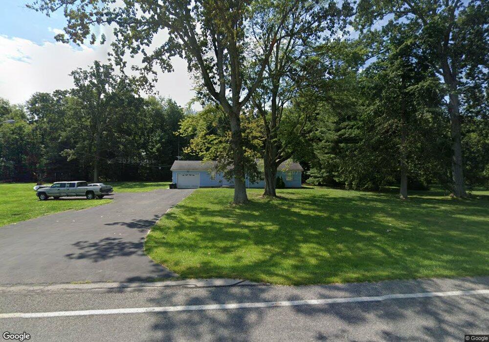
1284 State Route 28 Midland, OH 45148
Estimated Value: $143,000 - $305,000
3
Beds
2
Baths
1,318
Sq Ft
$158/Sq Ft
Est. Value
About This Home
This home is located at 1284 State Route 28, Midland, OH 45148 and is currently estimated at $208,219, approximately $157 per square foot. 1284 State Route 28 is a home located in Clinton County with nearby schools including Putman Elementary School, Blanchester Middle School, and Blanchester Intermediate School.
Ownership History
Date
Name
Owned For
Owner Type
Purchase Details
Closed on
Nov 5, 2013
Sold by
Ralph D Fizer Jr Sheriff Of Clinton Cou
Bought by
Popson Adam P and Popson Barbara M
Current Estimated Value
Purchase Details
Closed on
Jan 1, 1990
Bought by
Thompson Frank L and Thompson Georgia F
Create a Home Valuation Report for This Property
The Home Valuation Report is an in-depth analysis detailing your home's value as well as a comparison with similar homes in the area
Home Values in the Area
Average Home Value in this Area
Purchase History
| Date | Buyer | Sale Price | Title Company |
|---|---|---|---|
| Popson Adam P | -- | -- | |
| Thompson Frank L | -- | -- |
Source: Public Records
Tax History Compared to Growth
Tax History
| Year | Tax Paid | Tax Assessment Tax Assessment Total Assessment is a certain percentage of the fair market value that is determined by local assessors to be the total taxable value of land and additions on the property. | Land | Improvement |
|---|---|---|---|---|
| 2024 | $906 | $28,180 | $10,150 | $18,030 |
| 2023 | $906 | $28,180 | $10,150 | $18,030 |
| 2022 | $710 | $20,510 | $5,260 | $15,250 |
| 2021 | $753 | $20,510 | $5,260 | $15,250 |
| 2020 | $751 | $20,510 | $5,260 | $15,250 |
| 2019 | $1,035 | $17,280 | $5,270 | $12,010 |
| 2018 | $670 | $17,280 | $5,270 | $12,010 |
| 2017 | $327 | $17,280 | $5,270 | $12,010 |
| 2016 | $655 | $17,350 | $6,430 | $10,920 |
| 2015 | $655 | $17,350 | $6,430 | $10,920 |
| 2013 | -- | $16,170 | $5,250 | $10,920 |
Source: Public Records
Map
Nearby Homes
- 945 Lazenby Rd
- 1339 Hales Branch Rd
- 187 Mitchell Ave
- 1295 Hales Branch Rd
- 1192 Frazier Rd
- 147 Broadway St S
- 2211 Reeder Rd
- 963 Pratt Rd
- 1211 Pratt Rd
- 1896 Reeder Rd
- 13593 U S 68
- 1525 Shawnee Trace Rd
- 1623 Reeder Rd
- 2457 Martinsville Rd
- 14456 U S 68
- 50 & 62 E State Route 350
- 279 Frances Dr
- 1 Dudley Rd
- 13 S High St
- 67 Sweet St
- 1297 State Route 28
- 1198 State Route 28
- 1198 Ohio 28
- 1198 E St Rt 28
- 1132 State Route 28
- 1601 E St Rt 28
- 1601 State Route 28
- 1685 State Route 28
- 1685 State Route 28
- 1741 State Route 28
- 1702 State Route 28
- 1744 State Route 28
- 1780 State Route 28
- 1769 State Route 28
- 1838 State Route 28
- 591 State Route 28
- 2062 State Route 28
- 932 Lazenby Rd
- 468 Ohio 28
- 2124 E St Rt 28