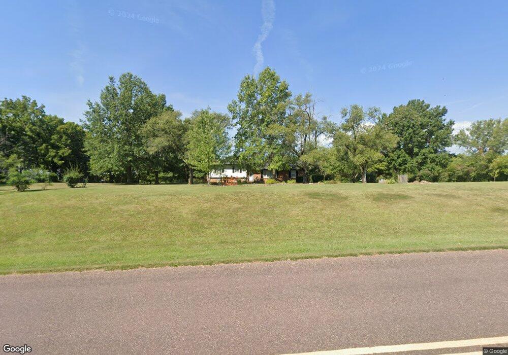
12849 170th St Linwood, KS 66052
Estimated Value: $385,000 - $563,000
3
Beds
3
Baths
1,548
Sq Ft
$296/Sq Ft
Est. Value
About This Home
This home is located at 12849 170th St, Linwood, KS 66052 and is currently estimated at $458,091, approximately $295 per square foot. 12849 170th St is a home located in Leavenworth County with nearby schools including Linwood Elementary School, Basehor-Linwood Middle School, and Basehor-Linwood High School.
Ownership History
Date
Name
Owned For
Owner Type
Purchase Details
Closed on
Apr 18, 2018
Sold by
Braley James L and Braley Ivy B
Bought by
Slankard Daniel D
Current Estimated Value
Home Financials for this Owner
Home Financials are based on the most recent Mortgage that was taken out on this home.
Original Mortgage
$184,000
Interest Rate
4.4%
Mortgage Type
New Conventional
Create a Home Valuation Report for This Property
The Home Valuation Report is an in-depth analysis detailing your home's value as well as a comparison with similar homes in the area
Home Values in the Area
Average Home Value in this Area
Purchase History
| Date | Buyer | Sale Price | Title Company |
|---|---|---|---|
| Slankard Daniel D | $230,000 | Assured Quality Title Co | |
| Slankard Daniel D | $244,720 | New Title Company Name |
Source: Public Records
Mortgage History
| Date | Status | Borrower | Loan Amount |
|---|---|---|---|
| Previous Owner | Slankard Daniel D | $184,000 |
Source: Public Records
Tax History Compared to Growth
Tax History
| Year | Tax Paid | Tax Assessment Tax Assessment Total Assessment is a certain percentage of the fair market value that is determined by local assessors to be the total taxable value of land and additions on the property. | Land | Improvement |
|---|---|---|---|---|
| 2025 | $4,609 | $42,576 | $15,672 | $26,904 |
| 2024 | $4,262 | $40,939 | $14,144 | $26,795 |
| 2023 | $4,262 | $39,747 | $13,315 | $26,432 |
| 2022 | $3,877 | $34,684 | $11,363 | $23,321 |
| 2021 | $3,374 | $30,279 | $9,638 | $20,641 |
| 2020 | $3,254 | $28,566 | $9,008 | $19,558 |
| 2019 | $3,123 | $27,255 | $8,433 | $18,822 |
| 2018 | $2,784 | $24,323 | $7,283 | $17,040 |
| 2017 | $2,588 | $22,597 | $7,079 | $15,518 |
| 2016 | $2,557 | $22,264 | $6,978 | $15,286 |
| 2015 | $2,335 | $20,424 | $6,664 | $13,760 |
| 2014 | $2,281 | $20,014 | $6,664 | $13,350 |
Source: Public Records
Map
Nearby Homes
- 0 174th St
- Parcel 5A SE Stanley Rd
- Parcel 3A SE Stanley Rd
- Parcel 4A SE Stanley Rd
- 0 Cantrell & 174th St
- 17580 Cantrell Rd
- 13525 N 158th St
- 13348 185th St
- 15514 Loring Rd
- 13519 185th St
- 8220 Wyandotte St
- 8315 Primrose St
- 29655 W 83rd St
- 34571 W 83rd St
- 6.20 Acres 182nd St
- 8335 Frederick Ct
- 8375 Wyandotte St
- 32550 Lexington Ave
- 18494 Linwood Rd
- 32845 W 84th St
- 12781 170th St
- 12846 170th St
- 12750 170th St
- 12927 170th St
- 12926 170th St
- 12718 170th St
- 12675 170th St
- 13001 170th St
- 12657 170th St
- 12654 170th St
- 12648 170th St
- 13060 170th St
- 13068 170th St
- 12560 170th St
- 13113 170th St
- 12520 170th St
- 12469 170th St
- 12480 170th St
- 12725 166th St
- 16885 Loring Rd
