1285 280th St E Randolph, MN 55065
Estimated Value: $882,580 - $898,000
3
Beds
3
Baths
2,044
Sq Ft
$436/Sq Ft
Est. Value
About This Home
This home is located at 1285 280th St E, Randolph, MN 55065 and is currently estimated at $890,290, approximately $435 per square foot. 1285 280th St E is a home located in Dakota County with nearby schools including Randolph Elementary School, Randolph High School, and Prairie Creek Community School.
Ownership History
Date
Name
Owned For
Owner Type
Purchase Details
Closed on
Oct 14, 1998
Sold by
Joan E Quinnell Family Trust
Bought by
Thompson Clyde W and Thompson Karen L
Current Estimated Value
Create a Home Valuation Report for This Property
The Home Valuation Report is an in-depth analysis detailing your home's value as well as a comparison with similar homes in the area
Purchase History
| Date | Buyer | Sale Price | Title Company |
|---|---|---|---|
| Thompson Clyde W | $129,600 | -- |
Source: Public Records
Mortgage History
| Date | Status | Borrower | Loan Amount |
|---|---|---|---|
| Closed | Thompson Clyde W | -- |
Source: Public Records
Tax History
| Year | Tax Paid | Tax Assessment Tax Assessment Total Assessment is a certain percentage of the fair market value that is determined by local assessors to be the total taxable value of land and additions on the property. | Land | Improvement |
|---|---|---|---|---|
| 2024 | $4,318 | $782,400 | $163,600 | $618,800 |
| 2023 | $4,318 | $791,100 | $160,000 | $631,100 |
| 2022 | $3,588 | $740,700 | $149,900 | $590,800 |
| 2021 | $3,632 | $587,200 | $137,100 | $450,100 |
| 2020 | $3,278 | $574,200 | $131,500 | $442,700 |
| 2019 | $3,230 | $528,500 | $124,800 | $403,700 |
| 2018 | $2,983 | $495,000 | $124,200 | $370,800 |
| 2017 | $2,866 | $470,000 | $119,500 | $350,500 |
| 2016 | $3,053 | $443,100 | $119,200 | $323,900 |
| 2015 | $2,684 | $441,786 | $113,981 | $327,805 |
| 2014 | -- | $412,138 | $111,171 | $300,967 |
| 2013 | -- | $322,438 | $101,780 | $220,658 |
Source: Public Records
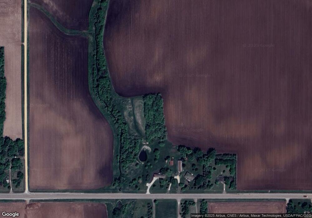
Map
Nearby Homes
- 1462 260th St E
- Lot 2 Block 1 Cannon River Blvd
- Lot 3 Block 1 Cannon River Blvd
- 29194 Cynthia Path
- 29019 Danel Ave
- 29107 Danel Ave
- 29245 Dickman Ave
- 4075 275th St W
- 29430 Endress Way
- CXX 280th St W
- BXX 280th St W
- EXX 280th St W
- TBD 265th St W
- 25805 Fairgreen Ave
- 29555 Friendly Ave
- 23820 Main St
- TBD Richard J Ames Memorial Hwy
- 4823 Birch St
- 6715 290th St W
- 22446 Cantrel Way
- 1285 280th St E
- 1285 280th St E
- 1285 280th St E
- 1233 280th St E
- 1280 280th St E
- 1245 280th St E
- 1220 280th St E
- 1278 280th St E
- 27955 Akron Ave
- 1500 280th St E
- 1520 280th St E
- 1664 280th St E
- 298XX Alta Ave
- 1949 280th St E
- 1510 280th St W
- 1462 280th St W
- 28609 Northfield Blvd
- 28601 Northfield Blvd
- 28659 Northfield Blvd
- 28237 Northfield Blvd
Your Personal Tour Guide
Ask me questions while you tour the home.