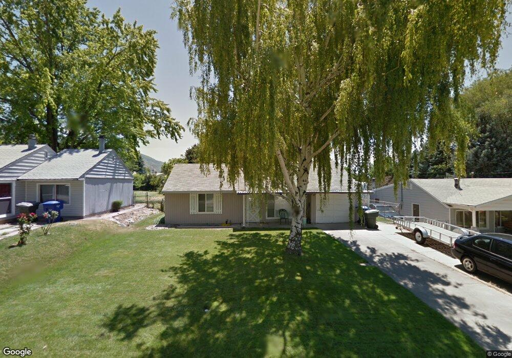
1285 5th St Ogden, UT 84404
Horace Mann NeighborhoodEstimated Value: $338,000 - $422,000
3
Beds
2
Baths
1,122
Sq Ft
$330/Sq Ft
Est. Value
About This Home
This home is located at 1285 5th St, Ogden, UT 84404 and is currently estimated at $370,234, approximately $329 per square foot. 1285 5th St is a home located in Weber County with nearby schools including Mound Fort Junior High School and Ben Lomond High School.
Ownership History
Date
Name
Owned For
Owner Type
Purchase Details
Closed on
Apr 17, 1997
Sold by
Killpack Kent N and Killpack Julie R
Bought by
Thomas Stephan A
Current Estimated Value
Home Financials for this Owner
Home Financials are based on the most recent Mortgage that was taken out on this home.
Original Mortgage
$61,125
Outstanding Balance
$6,958
Interest Rate
6.5%
Estimated Equity
$363,276
Create a Home Valuation Report for This Property
The Home Valuation Report is an in-depth analysis detailing your home's value as well as a comparison with similar homes in the area
Home Values in the Area
Average Home Value in this Area
Purchase History
| Date | Buyer | Sale Price | Title Company |
|---|---|---|---|
| Thomas Stephan A | -- | Equity Title |
Source: Public Records
Mortgage History
| Date | Status | Borrower | Loan Amount |
|---|---|---|---|
| Open | Thomas Stephan A | $61,125 |
Source: Public Records
Tax History
| Year | Tax Paid | Tax Assessment Tax Assessment Total Assessment is a certain percentage of the fair market value that is determined by local assessors to be the total taxable value of land and additions on the property. | Land | Improvement |
|---|---|---|---|---|
| 2025 | $2,565 | $339,408 | $120,000 | $219,408 |
| 2024 | $2,522 | $182,599 | $66,006 | $116,593 |
| 2023 | $2,488 | $182,600 | $60,406 | $122,194 |
| 2022 | $2,582 | $191,950 | $52,254 | $139,696 |
| 2021 | $1,866 | $224,000 | $48,016 | $175,984 |
| 2020 | $1,650 | $181,000 | $39,978 | $141,022 |
| 2019 | $1,634 | $168,000 | $34,950 | $133,050 |
| 2018 | $1,439 | $164,000 | $30,036 | $133,964 |
| 2017 | $1,396 | $131,000 | $25,986 | $105,014 |
| 2016 | $1,280 | $64,401 | $15,828 | $48,573 |
| 2015 | $1,037 | $50,132 | $15,828 | $34,304 |
| 2014 | $973 | $46,016 | $15,828 | $30,188 |
Source: Public Records
Map
Nearby Homes
- 1274 5th St
- 1243 Hudson St
- 1385 Hiland Rd
- 322 Harrison Blvd
- 1108 5th St
- 3270 N 3325 W Unit 386B
- 1453 Lewis Dr
- 1042 Douglas St
- 1029 Douglas St
- 1568 Hudson St Unit 1
- 1582 E Maddies Cove Unit 19
- 415 Jackson Ave
- 580 Marco Ln
- 1565 E 775 S Unit 7
- 1565 E 775 S Unit 16
- 572 S Elena Ln
- 1390 Cross St
- 186 N Harrison Blvd Unit 1
- 915 Hislop Dr
- 994 Mountain Rd
Your Personal Tour Guide
Ask me questions while you tour the home.