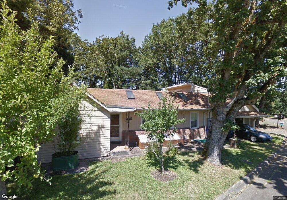
1285 Mclean Blvd Unit 1 Eugene, OR 97405
Crest Drive NeighborhoodEstimated Value: $486,000 - $520,000
About This Home
This home is located at 1285 Mclean Blvd Unit 1, Eugene, OR 97405 and is currently estimated at $499,156, approximately $333 per square foot. 1285 Mclean Blvd Unit 1 is a home located in Lane County with nearby schools including Adams Elementary School, Arts And Technology Academy At Jefferson, and Churchill High School.
Ownership History
We collect this data history from publicly available records. To have your information removed, we recommend requesting removal directly through your county’s website.
Purchase Details
Home Financials for this Owner
Home Financials are based on the most recent Mortgage that was taken out on this home.Purchase Details
Home Values in the Area
Average Home Value in this Area
Purchase History
We collect this data history from publicly available records. To have your information removed, we recommend requesting removal directly through your county’s website.
| Date | Buyer | Sale Price | Title Company |
|---|---|---|---|
| -- | Western Pioneer Title Co | ||
| $20,000 | -- |
Mortgage History
We collect this data history from publicly available records. To have your information removed, we recommend requesting removal directly through your county’s website.
| Date | Status | Borrower | Loan Amount |
|---|---|---|---|
| Closed | $98,000 |
Tax History
We collect this data history from publicly available records. To have your information removed, we recommend requesting removal directly through your county’s website.
| Year | Tax Paid | Tax Assessment Tax Assessment Total Assessment is a certain percentage of the fair market value that is determined by local assessors to be the total taxable value of land and additions on the property. | Land | Improvement |
|---|---|---|---|---|
| 2025 | $4,161 | $213,549 | -- | -- |
| 2024 | $4,109 | $207,330 | -- | -- |
| 2023 | $4,109 | $201,292 | $0 | $0 |
| 2022 | $3,849 | $195,430 | $0 | $0 |
| 2021 | $3,616 | $189,738 | $0 | $0 |
| 2020 | $3,628 | $184,212 | $0 | $0 |
| 2019 | $3,504 | $178,847 | $0 | $0 |
| 2018 | $3,299 | $168,581 | $0 | $0 |
| 2017 | $3,151 | $168,581 | $0 | $0 |
| 2016 | $3,011 | $163,671 | $0 | $0 |
| 2015 | $2,984 | $158,904 | $0 | $0 |
| 2014 | $2,924 | $154,276 | $0 | $0 |
Map
- 1520 W 28th Place
- 1208 W 28th Ave
- 1151 Lorane Hwy
- 2775 Fillmore St
- 2890 Chambers St
- 0 Mclean Blvd Unit 24671448
- 2845 Adams St
- 3010 Friendly St
- 3210 Inspiration Point Dr
- 2847 Friendly St
- 2863 Friendly St
- 1949 Graham Dr
- 1894 W 27th Place
- 1 Storey Blvd
- 2 Storey Blvd
- 2485 Jackson St
- 2030 W 29th Ave
- 1141 W 24th Ave
- 2089 Graham Dr
- 3071 Soloman Loop
- 1265 Mclean Blvd
- 1290 Mclean Blvd
- 1260 Mclean Blvd
- 2871 Taylor St
- 2910 Powell St
- 1245 Mclean Blvd
- 2873 Taylor St
- 1325 Mclean Blvd
- 2980 Powell St
- 2869 Taylor St
- 2915 Durbin St
- 2875 Taylor St
- 2925 Powell St
- 2883 Taylor St
- 2937 Powell St
- 2889 Taylor St
- 1240 Mclean Blvd
- 2986 Powell St
- 2925 Durbin St
- 2865 Taylor St
Ask me questions while you tour the home.