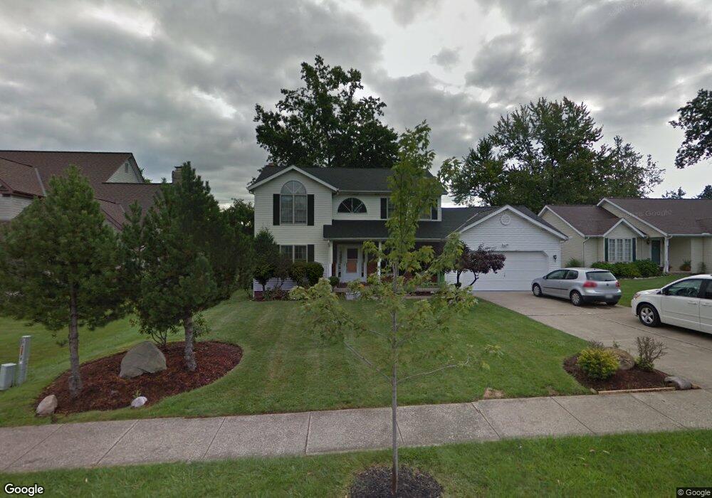
1285 Rae Rd Cleveland, OH 44124
Estimated Value: $284,000 - $391,000
4
Beds
3
Baths
2,184
Sq Ft
$154/Sq Ft
Est. Value
About This Home
This home is located at 1285 Rae Rd, Cleveland, OH 44124 and is currently estimated at $335,986, approximately $153 per square foot. 1285 Rae Rd is a home located in Cuyahoga County with nearby schools including Sunview Elementary School, Greenview Upper Elementary School, and Memorial Junior High School.
Ownership History
Date
Name
Owned For
Owner Type
Purchase Details
Closed on
Jun 11, 2025
Sold by
Yung Jiale and Benitez Yanna Yung
Bought by
Rae Road Trust and Benitez
Current Estimated Value
Purchase Details
Closed on
Sep 29, 2024
Sold by
Yung Family Trust and Yung Moo Siu
Bought by
Yung Jiale and Benitez Yanna Yung
Purchase Details
Closed on
Oct 6, 2023
Sold by
Yung Moo Sui and See Mon
Bought by
Yung Family Trust and Yung
Purchase Details
Closed on
Sep 16, 2022
Sold by
Yung Katherine A
Bought by
Mei Yung Moo Siu and Yung See Mon
Purchase Details
Closed on
Nov 11, 2009
Sold by
Yung See Mon and Yung Moo Siu
Bought by
Yung Katherine A
Purchase Details
Closed on
Dec 17, 1993
Bought by
Yung See Mon
Purchase Details
Closed on
Mar 27, 1992
Bought by
Orwell Homes, Inc
Purchase Details
Closed on
Jan 1, 1991
Bought by
C M Investment Corp
Create a Home Valuation Report for This Property
The Home Valuation Report is an in-depth analysis detailing your home's value as well as a comparison with similar homes in the area
Home Values in the Area
Average Home Value in this Area
Purchase History
| Date | Buyer | Sale Price | Title Company |
|---|---|---|---|
| Rae Road Trust | -- | None Listed On Document | |
| Rae Road Trust | -- | None Listed On Document | |
| Yung Jiale | -- | Ace Title | |
| Yung Family Trust | -- | None Listed On Document | |
| Mei Yung Moo Siu | -- | Ace Title | |
| Yung Katherine A | -- | Attorney | |
| Yung See Mon | $187,000 | -- | |
| Orwell Homes, Inc | $55,000 | -- | |
| C M Investment Corp | -- | -- |
Source: Public Records
Tax History
| Year | Tax Paid | Tax Assessment Tax Assessment Total Assessment is a certain percentage of the fair market value that is determined by local assessors to be the total taxable value of land and additions on the property. | Land | Improvement |
|---|---|---|---|---|
| 2025 | $8,355 | $108,255 | $19,320 | $88,935 |
| 2024 | $6,983 | $108,255 | $19,320 | $88,935 |
| 2023 | $7,495 | $96,540 | $22,510 | $74,030 |
| 2022 | $8,397 | $96,530 | $22,505 | $74,025 |
| 2021 | $8,330 | $96,530 | $22,510 | $74,030 |
| 2020 | $7,801 | $79,140 | $18,450 | $60,690 |
| 2019 | $7,052 | $226,100 | $52,700 | $173,400 |
| 2018 | $7,102 | $79,140 | $18,450 | $60,690 |
| 2017 | $7,249 | $75,180 | $14,700 | $60,480 |
| 2016 | $7,191 | $75,180 | $14,700 | $60,480 |
| 2015 | $7,281 | $75,180 | $14,700 | $60,480 |
| 2014 | $7,281 | $76,730 | $15,020 | $61,710 |
Source: Public Records
Map
Nearby Homes
- 1274 Croyden Rd
- 1284 Brainard Rd
- 1360 Croyden Rd
- 1140 Iroquois Ave
- 1231 Ranchland Dr
- 1175 Ranchland Dr
- 1412 Belrose Rd
- 1496 Brainard Rd
- 1359 Beaconfield Rd
- 1203 Mayfield Ridge Rd
- 5918 Maplewood Rd
- 1192 Blanchester Rd
- 1040 Rose Blvd
- 1544 Edgefield Rd
- 1066 Eastlawn Dr
- 1206 Lander Rd
- 1516 Sunview Rd
- 1211 Sunset Rd
- 1639 Edgefield Rd
- 5284 Edenhurst Rd
Your Personal Tour Guide
Ask me questions while you tour the home.