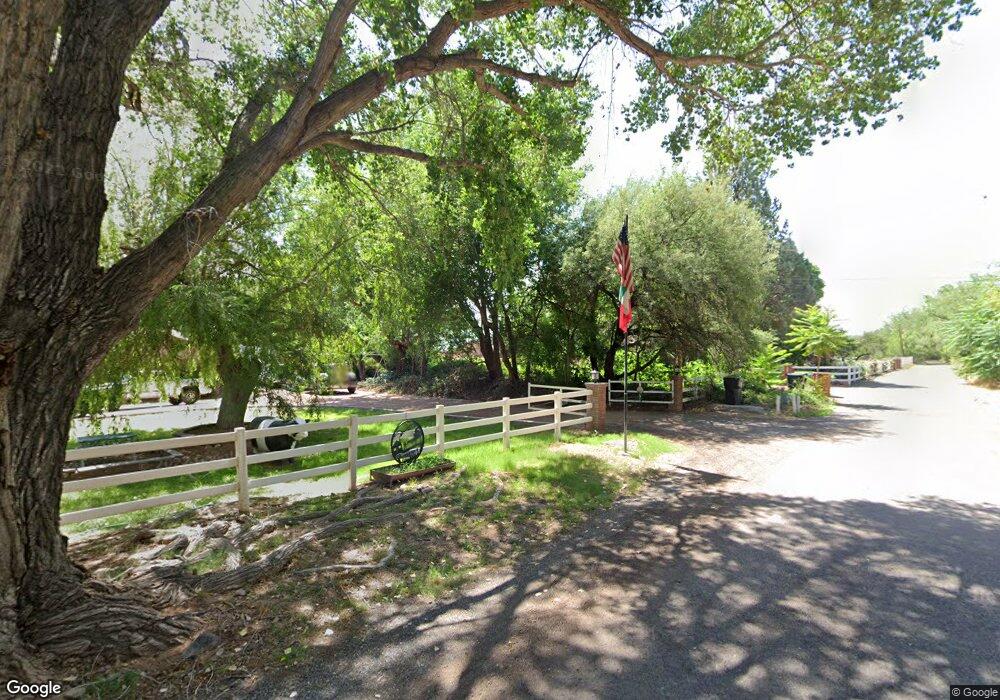
1285 S Uvx Rd Cottonwood, AZ 86326
Estimated Value: $731,000 - $966,000
--
Bed
--
Bath
3,296
Sq Ft
$255/Sq Ft
Est. Value
About This Home
This home is located at 1285 S Uvx Rd, Cottonwood, AZ 86326 and is currently estimated at $840,725, approximately $255 per square foot. 1285 S Uvx Rd is a home located in Yavapai County with nearby schools including Dr Daniel Bright Elementary School, Cottonwood Elementary School, and Cottonwood Community School.
Ownership History
Date
Name
Owned For
Owner Type
Purchase Details
Closed on
Sep 29, 2020
Sold by
Settanni V Joseph
Bought by
Settanni V Joseph V and Settanni Liana C
Current Estimated Value
Home Financials for this Owner
Home Financials are based on the most recent Mortgage that was taken out on this home.
Original Mortgage
$300,000
Outstanding Balance
$215,621
Interest Rate
2.9%
Mortgage Type
New Conventional
Estimated Equity
$625,104
Purchase Details
Closed on
Apr 8, 2002
Sold by
Settanni Liana
Bought by
Settanni V Joseph
Home Financials for this Owner
Home Financials are based on the most recent Mortgage that was taken out on this home.
Original Mortgage
$151,800
Interest Rate
6.78%
Purchase Details
Closed on
Oct 30, 2001
Sold by
Fratelli G M
Bought by
Settanni V Joseph and Settanni Liana
Purchase Details
Closed on
Jul 26, 1994
Sold by
Ohlwiler Rose Marie and Kallsen Kay F
Bought by
Fratelli G M
Create a Home Valuation Report for This Property
The Home Valuation Report is an in-depth analysis detailing your home's value as well as a comparison with similar homes in the area
Home Values in the Area
Average Home Value in this Area
Purchase History
| Date | Buyer | Sale Price | Title Company |
|---|---|---|---|
| Settanni V Joseph V | -- | Clear Title | |
| Settanni V Joseph | -- | Capital Title Agency | |
| Settanni V Joseph | -- | -- | |
| Fratelli G M | $125,000 | Capital Title Agency |
Source: Public Records
Mortgage History
| Date | Status | Borrower | Loan Amount |
|---|---|---|---|
| Open | Settanni V Joseph V | $300,000 | |
| Previous Owner | Settanni V Joseph | $151,800 |
Source: Public Records
Tax History Compared to Growth
Tax History
| Year | Tax Paid | Tax Assessment Tax Assessment Total Assessment is a certain percentage of the fair market value that is determined by local assessors to be the total taxable value of land and additions on the property. | Land | Improvement |
|---|---|---|---|---|
| 2026 | $3,941 | $85,075 | -- | -- |
| 2024 | $3,708 | $83,383 | -- | -- |
| 2023 | $3,782 | $60,841 | $13,923 | $46,918 |
| 2022 | $3,708 | $51,120 | $9,954 | $41,166 |
| 2021 | $3,854 | $48,805 | $11,639 | $37,166 |
| 2020 | $3,783 | $0 | $0 | $0 |
| 2019 | $3,717 | $0 | $0 | $0 |
| 2018 | $3,566 | $0 | $0 | $0 |
| 2017 | $3,410 | $0 | $0 | $0 |
| 2016 | $3,324 | $0 | $0 | $0 |
| 2015 | $3,289 | $0 | $0 | $0 |
| 2014 | $2,975 | $0 | $0 | $0 |
Source: Public Records
Map
Nearby Homes
- 1380 S Bates Rd
- 1520 S Tanager Ln
- 2647 Lobo Cir
- 1331 S Kelli Ln
- 1675 S Carpenter Ln
- 3900 E Cassie Ln
- 1751 E Parada Del Sol
- 1851 E Donner Trail
- 3980 E Cassie Ln
- 1141 S 17th St Unit 32B
- 1736 S Gold Rush Rd
- 3732 E Comanche Dr
- 1196 S 16th Place
- 1059 S 16th Place
- 1355 S Hermits Cir
- 1379 E Hermits Cir
- 1775 Pinon Dr
- 1765 E Villa Dr
- 1532 Camino Real Unit 2983
- 1546 E Sunset Cir