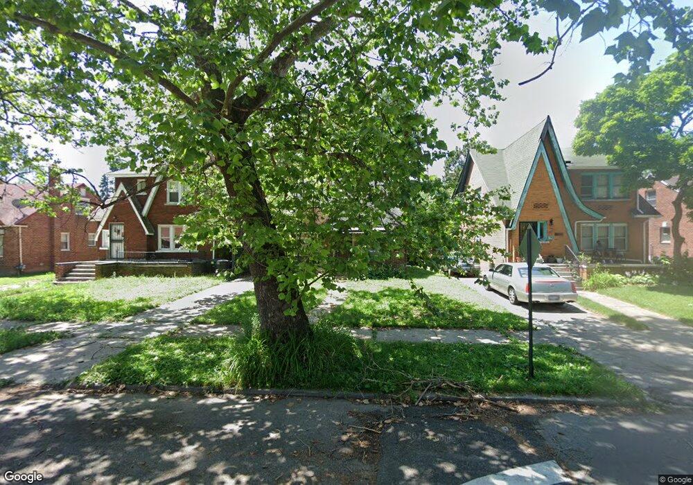
12859 Mansfield St Unit Bldg-Unit Detroit, MI 48227
Schoolcraft Southfield NeighborhoodEstimated Value: $87,000 - $126,594
--
Bed
1
Bath
1,020
Sq Ft
$101/Sq Ft
Est. Value
About This Home
This home is located at 12859 Mansfield St Unit Bldg-Unit, Detroit, MI 48227 and is currently estimated at $103,399, approximately $101 per square foot. 12859 Mansfield St Unit Bldg-Unit is a home located in Wayne County with nearby schools including Dossin Elementary-Middle School, Charles L. Spain Elementary-Middle School, and Edward 'Duke' Ellington Conservatory of Music and Art.
Ownership History
Date
Name
Owned For
Owner Type
Purchase Details
Closed on
May 3, 2018
Sold by
Property Wholesaler Of Detroit Llc
Bought by
Land And Building Llc
Current Estimated Value
Purchase Details
Closed on
Feb 27, 2018
Sold by
D With W Holdings Llc
Bought by
Casariego Federico
Purchase Details
Closed on
Aug 18, 2016
Sold by
Shirley Benjamin Vernon and Shirley Benjamin
Bought by
D With W Holdings Llc
Create a Home Valuation Report for This Property
The Home Valuation Report is an in-depth analysis detailing your home's value as well as a comparison with similar homes in the area
Home Values in the Area
Average Home Value in this Area
Purchase History
| Date | Buyer | Sale Price | Title Company |
|---|---|---|---|
| Land And Building Llc | $67,000 | First American Title Ins Co | |
| Property Wholesaler Of Detroit Llc | $53,000 | First American Title Ins Co | |
| Casariego Federico | $28,500 | Red Carpet Title Agency Llc | |
| D With W Holdings Llc | $4,958 | Attorney |
Source: Public Records
Tax History Compared to Growth
Tax History
| Year | Tax Paid | Tax Assessment Tax Assessment Total Assessment is a certain percentage of the fair market value that is determined by local assessors to be the total taxable value of land and additions on the property. | Land | Improvement |
|---|---|---|---|---|
| 2025 | $1,562 | $42,400 | $0 | $0 |
| 2024 | $1,562 | $36,200 | $0 | $0 |
| 2023 | $1,517 | $29,200 | $0 | $0 |
| 2022 | $1,621 | $24,800 | $0 | $0 |
| 2021 | $1,575 | $19,600 | $0 | $0 |
| 2020 | $1,575 | $16,700 | $0 | $0 |
| 2019 | $1,645 | $14,800 | $0 | $0 |
| 2018 | $1,089 | $13,800 | $0 | $0 |
| 2017 | $205 | $12,300 | $0 | $0 |
| 2016 | $1,192 | $12,600 | $0 | $0 |
| 2015 | $1,260 | $12,600 | $0 | $0 |
| 2013 | $1,511 | $17,687 | $0 | $0 |
| 2010 | -- | $25,342 | $814 | $24,528 |
Source: Public Records
Map
Nearby Homes
- 12904 Saint Marys St
- 12641 Mansfield St
- 13519 Mansfield St
- 13501 Mettetal St
- 12945 Forrer St
- 13572 Saint Marys St
- 13575 Rutherford St
- 13590 Mettetal St
- 13620 Saint Marys St
- 13556 Forrer St
- 12729 Grandmont Ave
- 13539 Woodmont Ave
- 16530 Fullerton Ave
- 13526 Montrose St
- 13610 Woodmont Ave
- 12936 Winthrop St
- 13614 Montrose St
- 13951 Saint Marys St
- 12235 Rutherford St
- 12651 Abington Ave
- 12859 Mansfield St
- 12851 Mansfield St
- 12865 Mansfield St
- 12850 Saint Marys St
- 12864 Saint Marys St
- 12875 Mansfield St
- 12842 Saint Marys St
- 12843 Mansfield St
- 12872 Saint Marys St
- 12833 Mansfield St
- 12832 Saint Marys St
- 12883 Mansfield St
- 12884 Saint Marys St
- 12824 Saint Marys St
- 12827 Mansfield St
- 12891 Mansfield St
- 0 Mansfield St Unit 215109594
- 0 Mansfield St Unit 1 7956285-11887574
- 0 Mansfield St Unit 7946778-11872825
- 0 Mansfield St Unit R215079815