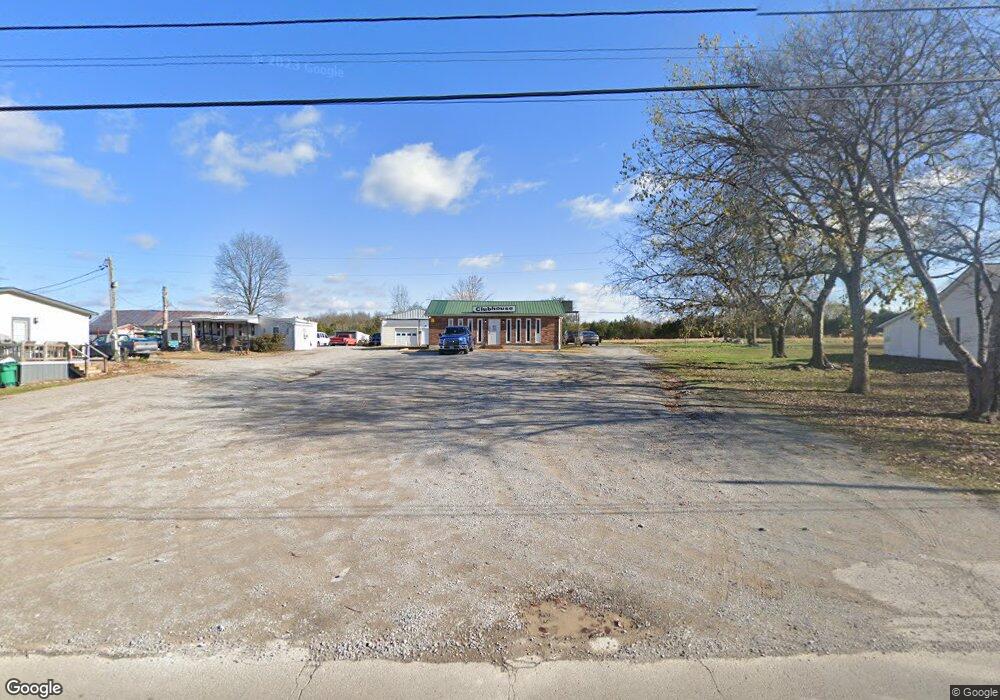
1286 Old Belfast Rd Lewisburg, TN 37091
Estimated Value: $84,422
--
Bed
1
Bath
1,728
Sq Ft
$49/Sq Ft
Est. Value
About This Home
This home is located at 1286 Old Belfast Rd, Lewisburg, TN 37091 and is currently estimated at $84,422, approximately $48 per square foot. 1286 Old Belfast Rd is a home located in Marshall County with nearby schools including Marshall Elementary School, Oak Grove Elementary School, and Westhills Elementary School.
Ownership History
Date
Name
Owned For
Owner Type
Purchase Details
Closed on
Mar 26, 2015
Sold by
Rutlege James G
Bought by
Fulton Joseph L
Current Estimated Value
Purchase Details
Closed on
Feb 1, 2012
Sold by
Hargrove Jessie M
Bought by
Rutlege James G
Purchase Details
Closed on
Jun 30, 2008
Sold by
Alonzo Hargrove Garland
Bought by
Alonzo Hargrove Garland
Purchase Details
Closed on
Nov 17, 1995
Bought by
Hargrove Garland Alonzo
Purchase Details
Closed on
Jun 23, 1995
Bought by
Bennett Mike and Bennett Doris
Purchase Details
Closed on
Apr 12, 1989
Bought by
Hargrove Marion and Hargrove Gertrud
Create a Home Valuation Report for This Property
The Home Valuation Report is an in-depth analysis detailing your home's value as well as a comparison with similar homes in the area
Home Values in the Area
Average Home Value in this Area
Purchase History
| Date | Buyer | Sale Price | Title Company |
|---|---|---|---|
| Fulton Joseph L | $25,000 | -- | |
| Rutlege James G | $30,000 | -- | |
| Alonzo Hargrove Garland | -- | -- | |
| Hargrove Garland Alonzo | $80,000 | -- | |
| Bennett Mike | $30,000 | -- | |
| Hargrove Marion | $18,400 | -- |
Source: Public Records
Tax History Compared to Growth
Tax History
| Year | Tax Paid | Tax Assessment Tax Assessment Total Assessment is a certain percentage of the fair market value that is determined by local assessors to be the total taxable value of land and additions on the property. | Land | Improvement |
|---|---|---|---|---|
| 2024 | -- | $50,400 | $4,280 | $46,120 |
| 2023 | $1,565 | $50,400 | $4,280 | $46,120 |
| 2022 | $1,565 | $50,400 | $4,280 | $46,120 |
| 2021 | $1,759 | $37,800 | $4,280 | $33,520 |
| 2020 | $1,759 | $37,800 | $4,280 | $33,520 |
| 2019 | $1,702 | $37,800 | $4,280 | $33,520 |
| 2018 | $1,683 | $37,800 | $4,280 | $33,520 |
| 2017 | $1,683 | $37,800 | $4,280 | $33,520 |
| 2016 | $2,027 | $39,600 | $4,000 | $35,600 |
| 2015 | $1,849 | $39,600 | $4,000 | $35,600 |
| 2014 | $2,266 | $48,520 | $4,000 | $44,520 |
Source: Public Records
Map
Nearby Homes
- 1351 Old Belfast Rd
- 198 Creekside Dr
- 200 Creekside Dr
- 199 Creekside Dr
- 197 Creekside Dr
- 125 Armory Dr
- 126 Armory Dr
- 301 East Ave
- 391 Elm Ave
- 330 Hickory Cir
- 411 Elm Ave
- 755 Center St
- 131 Isabela Dr
- 141 Isabela Dr
- 224 Hardison Ave
- 3019 Cambridge Ct
- 3021 Cambridge Ct
- 1183 Finley Beech Rd
- 188 Trey Dr
- 1666 Fayetteville Hwy
- 1296 Old Belfast Rd
- 1301 Old Belfast Rd
- 1331 Old Belfast Rd
- 611 Hawkins Dr Unit R
- 611 Hawkins Dr
- 1240 Old Belfast Rd
- 1157 Rogers Rd
- 1141 Rogers Rd
- 1131 Rogers Rd
- 1171 Rogers Rd
- 1130 Rogers Rd
- 1140 Rogers Rd
- 1211 E Commerce St
- 1090 Rogers Rd
- 1080 Rogers Rd
- 1021 Rogers Rd
- 0 Rogers Rd
- 1171 E Commerce St
- 1001 Rogers Rd
- 1060 Rogers Rd
