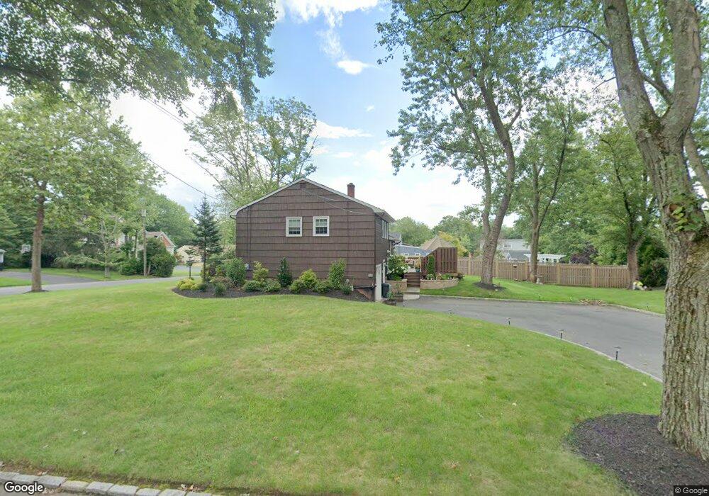
1286 White Oak Rd Scotch Plains, NJ 07076
Estimated Value: $530,684 - $831,000
--
Bed
--
Bath
1,538
Sq Ft
$476/Sq Ft
Est. Value
About This Home
This home is located at 1286 White Oak Rd, Scotch Plains, NJ 07076 and is currently estimated at $732,671, approximately $476 per square foot. 1286 White Oak Rd is a home located in Union County with nearby schools including William J. McGinn Elementary School, Terrill Middle School, and Scotch Plains-Fanwood High School.
Ownership History
Date
Name
Owned For
Owner Type
Purchase Details
Closed on
Jan 15, 2003
Sold by
Werkheiser Wesley
Bought by
Nielsen Hans and Nielsen Sharon
Current Estimated Value
Home Financials for this Owner
Home Financials are based on the most recent Mortgage that was taken out on this home.
Original Mortgage
$276,000
Outstanding Balance
$118,345
Interest Rate
6.09%
Estimated Equity
$614,326
Create a Home Valuation Report for This Property
The Home Valuation Report is an in-depth analysis detailing your home's value as well as a comparison with similar homes in the area
Home Values in the Area
Average Home Value in this Area
Purchase History
| Date | Buyer | Sale Price | Title Company |
|---|---|---|---|
| Nielsen Hans | $345,000 | -- |
Source: Public Records
Mortgage History
| Date | Status | Borrower | Loan Amount |
|---|---|---|---|
| Open | Nielsen Hans | $276,000 |
Source: Public Records
Tax History Compared to Growth
Tax History
| Year | Tax Paid | Tax Assessment Tax Assessment Total Assessment is a certain percentage of the fair market value that is determined by local assessors to be the total taxable value of land and additions on the property. | Land | Improvement |
|---|---|---|---|---|
| 2025 | $11,733 | $99,700 | $40,400 | $59,300 |
| 2024 | $11,387 | $99,700 | $40,400 | $59,300 |
| 2023 | $11,387 | $99,700 | $40,400 | $59,300 |
| 2022 | $11,251 | $99,700 | $40,400 | $59,300 |
| 2021 | $11,232 | $99,700 | $40,400 | $59,300 |
| 2020 | $11,178 | $99,700 | $40,400 | $59,300 |
| 2019 | $11,096 | $99,700 | $40,400 | $59,300 |
| 2018 | $10,909 | $99,700 | $40,400 | $59,300 |
| 2017 | $10,667 | $99,700 | $40,400 | $59,300 |
| 2016 | $10,462 | $99,700 | $40,400 | $59,300 |
| 2015 | $10,290 | $99,700 | $40,400 | $59,300 |
| 2014 | $9,951 | $99,700 | $40,400 | $59,300 |
Source: Public Records
Map
Nearby Homes
- 1933 W Broad St
- 1933 Mary Ellen Ln
- 2154 W Broad St
- 2116 Newark Ave
- 2 Brookside Ct
- 119 Lamberts Mill Rd
- 1466 Lamberts Mill Rd
- 314 Highgate Ave
- 2212 Shady Ln
- 187 King St
- 5 Robin Rd
- 120 S Martine Ave
- 2314 Longfellow Ave
- 57 Rambling Dr
- 345 La Grande Ave
- 2219 North Ave Unit 6
- 524 Edgar Rd
- 2 Dutch Ln
- 525 Edgar Rd
- 21 Old South Ave
- 1290 White Oak Rd
- 1282 White Oak Rd
- 1283 White Oak Rd
- 1285 White Oak Rd
- 1289 White Oak Rd
- 2033 W Broad St
- 1291 White Oak Rd
- 1280 White Oak Rd
- 1287 White Oak Rd
- 1277 White Oak Rd
- 2027 W Broad St
- 2039 W Broad St
- 1257 Maple Hill Rd
- 1293 White Oak Rd
- 1261 Maple Hill Rd
- 2021 W Broad St
- 1272 Woodside Rd
- 1275 White Oak Rd
- 1278 Woodside Rd
- 1278 White Oak Rd