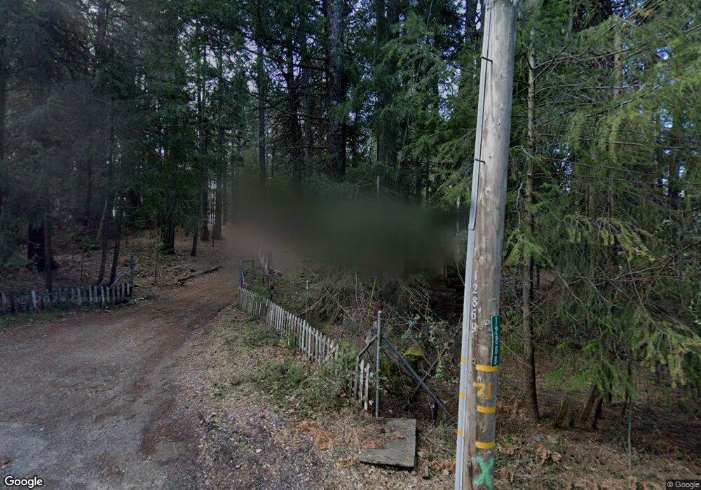
12869 Scotts Valley Rd Nevada City, CA 95959
Estimated Value: $559,313 - $761,000
2
Beds
2
Baths
1,789
Sq Ft
$357/Sq Ft
Est. Value
About This Home
This home is located at 12869 Scotts Valley Rd, Nevada City, CA 95959 and is currently estimated at $638,771, approximately $357 per square foot. 12869 Scotts Valley Rd is a home located in Nevada County with nearby schools including Deer Creek Elementary School and Seven Hills Intermediate School.
Ownership History
Date
Name
Owned For
Owner Type
Purchase Details
Closed on
Feb 14, 2022
Sold by
Willard Wray Victor
Bought by
Victor W Wray And Sherry M Wray Family Trust and Wray Wra Sherry
Current Estimated Value
Home Financials for this Owner
Home Financials are based on the most recent Mortgage that was taken out on this home.
Original Mortgage
$316,000
Outstanding Balance
$291,036
Interest Rate
2.9%
Mortgage Type
New Conventional
Estimated Equity
$347,735
Purchase Details
Closed on
Dec 11, 2017
Sold by
Wray Victor W and Wray Sherry M
Bought by
Wray Victor W and Wray Sherry M
Home Financials for this Owner
Home Financials are based on the most recent Mortgage that was taken out on this home.
Original Mortgage
$322,000
Interest Rate
3.9%
Mortgage Type
New Conventional
Purchase Details
Closed on
Jan 9, 2017
Sold by
Wray Victor W and Wray Sherry M
Bought by
Wray Victor W and Wray Sherry M
Home Financials for this Owner
Home Financials are based on the most recent Mortgage that was taken out on this home.
Original Mortgage
$259,225
Interest Rate
4.16%
Mortgage Type
New Conventional
Purchase Details
Closed on
Jun 13, 2006
Sold by
Wray Victor W and Wray Sherry M
Bought by
Wray Victor W and Wray Sherry M
Home Financials for this Owner
Home Financials are based on the most recent Mortgage that was taken out on this home.
Original Mortgage
$310,000
Interest Rate
6.55%
Mortgage Type
Fannie Mae Freddie Mac
Purchase Details
Closed on
May 21, 2003
Sold by
Wray Victor W and Wray Sherry M
Bought by
Wray Victor W and Wray Sherry M
Home Financials for this Owner
Home Financials are based on the most recent Mortgage that was taken out on this home.
Original Mortgage
$176,500
Interest Rate
4.75%
Mortgage Type
Purchase Money Mortgage
Purchase Details
Closed on
Sep 12, 2002
Sold by
Wray Victor W and Wray Sherry M
Bought by
Wray Victor W and Wray Sherry M
Create a Home Valuation Report for This Property
The Home Valuation Report is an in-depth analysis detailing your home's value as well as a comparison with similar homes in the area
Home Values in the Area
Average Home Value in this Area
Purchase History
| Date | Buyer | Sale Price | Title Company |
|---|---|---|---|
| Victor W Wray And Sherry M Wray Family Trust | -- | -- | |
| Wray Victor W | -- | None Available | |
| Wray Victor W | -- | None Available | |
| Wray Victor W | -- | None Available | |
| Wray Victor W | -- | None Available | |
| Wray Victor W | -- | First American Title Company | |
| Wray Victor W | -- | First American Title Company | |
| Wray Victor W | -- | Placer Title Company | |
| Wray Victor W | -- | Placer Title Company | |
| Wray Victor W | -- | -- |
Source: Public Records
Mortgage History
| Date | Status | Borrower | Loan Amount |
|---|---|---|---|
| Open | Victor W Wray And Sherry M Wray Family Trust | $316,000 | |
| Previous Owner | Wray Victor W | $322,000 | |
| Previous Owner | Wray Victor W | $259,225 | |
| Previous Owner | Wray Victor W | $310,000 | |
| Previous Owner | Wray Victor W | $176,500 |
Source: Public Records
Tax History Compared to Growth
Tax History
| Year | Tax Paid | Tax Assessment Tax Assessment Total Assessment is a certain percentage of the fair market value that is determined by local assessors to be the total taxable value of land and additions on the property. | Land | Improvement |
|---|---|---|---|---|
| 2025 | $3,940 | $366,429 | $113,995 | $252,434 |
| 2024 | $3,859 | $359,245 | $111,760 | $247,485 |
| 2023 | $3,859 | $352,202 | $109,569 | $242,633 |
| 2022 | $3,778 | $345,297 | $107,421 | $237,876 |
| 2021 | $3,674 | $338,527 | $105,315 | $233,212 |
| 2020 | $3,664 | $335,057 | $104,236 | $230,821 |
| 2019 | $3,587 | $328,489 | $102,193 | $226,296 |
| 2018 | $3,515 | $322,049 | $100,190 | $221,859 |
| 2017 | $3,446 | $315,735 | $98,226 | $217,509 |
| 2016 | $3,320 | $309,545 | $96,300 | $213,245 |
| 2015 | $3,271 | $304,896 | $94,854 | $210,042 |
| 2014 | $3,271 | $298,924 | $92,996 | $205,928 |
Source: Public Records
Map
Nearby Homes
- 21293 Scotts Flat Rd
- 19793 Scotts Flat Rd
- 13518 Quaker Hill Cross Rd
- 10973 Scotts Flat Dam Rd
- 13646 Quaker Hill Cross Rd
- 11797 Cedar Springs Rd
- 21678 Scotts Flat Rd
- 13755 Quaker Hill Cross Rd
- 10623- Yearling Rd
- 12716 Red Dog Rd
- 12043 Pasquale Rd
- 11937 Incline Shaft Rd
- 11877 Incline Shaft Rd
- 17534 Lightfoot Way
- 14014 Red Dog Rd
- 10107 Shekinah Hill Rd
- 11417 Red Dog Rd
- 11352 Caroline Ln
- 14289 Banner Mtn Lookout Rd
- 10952 Northcote Place
- 20619 Scotts Flat Rd
- 11215 Burjer Rd
- 20831 Scotts Flat Rd
- 10852 Vista Del Oro Ct
- 10804 Vista Del Oro Ct
- 20588 Scotts Flat Rd
- 11355 Burjer Rd
- 10886 Vista Del Oro Ct
- 20573 Scotts Flat Rd
- 0 Vista Del Oro Ct
- 12672 Scotts Valley Rd
- 20422 Scotts Flat Rd
- 11277 Burjer Rd
- 20429 Scotts Flat Rd
- 11198 Burjer Rd
- 11379 Burjer Rd
- 11421 Burjer Rd
- 20346 Scotts Flat Rd