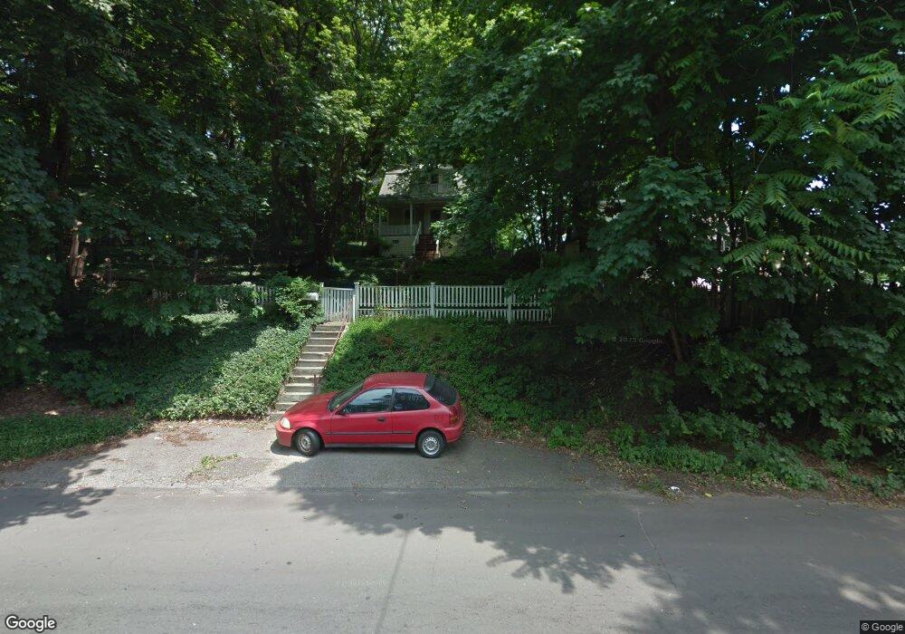
1287 Townsend Ave New Haven, CT 06513
The Annex NeighborhoodEstimated Value: $220,000 - $280,000
2
Beds
1
Bath
1,042
Sq Ft
$251/Sq Ft
Est. Value
About This Home
This home is located at 1287 Townsend Ave, New Haven, CT 06513 and is currently estimated at $261,166, approximately $250 per square foot. 1287 Townsend Ave is a home located in New Haven County with nearby schools including Ross Woodward, Cold Spring School, and All Nations Christian Academy.
Ownership History
Date
Name
Owned For
Owner Type
Purchase Details
Closed on
Jul 25, 1989
Sold by
Robinson James N
Bought by
Woods Robert F
Current Estimated Value
Home Financials for this Owner
Home Financials are based on the most recent Mortgage that was taken out on this home.
Original Mortgage
$76,800
Interest Rate
10.07%
Create a Home Valuation Report for This Property
The Home Valuation Report is an in-depth analysis detailing your home's value as well as a comparison with similar homes in the area
Home Values in the Area
Average Home Value in this Area
Purchase History
| Date | Buyer | Sale Price | Title Company |
|---|---|---|---|
| Woods Robert F | $96,000 | -- |
Source: Public Records
Mortgage History
| Date | Status | Borrower | Loan Amount |
|---|---|---|---|
| Closed | Woods Robert F | $76,800 |
Source: Public Records
Tax History
| Year | Tax Paid | Tax Assessment Tax Assessment Total Assessment is a certain percentage of the fair market value that is determined by local assessors to be the total taxable value of land and additions on the property. | Land | Improvement |
|---|---|---|---|---|
| 2025 | $4,752 | $120,610 | $42,140 | $78,470 |
| 2024 | $4,643 | $120,610 | $42,140 | $78,470 |
| 2023 | $4,487 | $120,610 | $42,140 | $78,470 |
| 2022 | $4,794 | $120,610 | $42,140 | $78,470 |
| 2021 | $3,898 | $88,830 | $27,580 | $61,250 |
| 2020 | $3,898 | $88,830 | $27,580 | $61,250 |
| 2019 | $3,312 | $77,070 | $27,580 | $49,490 |
| 2018 | $3,312 | $77,070 | $27,580 | $49,490 |
| 2017 | $2,981 | $77,070 | $27,580 | $49,490 |
| 2016 | $3,068 | $73,850 | $26,040 | $47,810 |
| 2015 | $3,068 | $73,850 | $26,040 | $47,810 |
| 2014 | $3,068 | $73,850 | $26,040 | $47,810 |
Source: Public Records
Map
Nearby Homes
- 20 Ashland Place
- 64 Ashland Place
- 28 Farren Ave
- 46 Chamberlain St Unit B
- 33 Allen Place
- 54 Judith Terrace
- 225 Fulton Terrace
- 48 Fulton St
- 666 Woodward Ave Unit 666
- 113 Huntington Ave
- 181 Fairmont Ave
- 20 Warwick St
- 10-16 Huntington Ave
- 169 Farren Ave
- 44 Huntington Ave
- 190 Farren Ave
- 45 Huntington Ave
- 611 Main St
- 95 Lenox St Unit L
- 235 Russell St
- 1285 Townsend Ave
- 1285 Townsend Ave Unit 1
- 36 Burwell St
- 32 Burwell St
- 1273 Townsend Ave
- 1269 Townsend Ave
- 44 Burwell St
- 40 Burwell St
- 1298 Townsend Ave Unit flr 2
- 1298 Townsend Ave
- 42 Burwell St
- 1296 Townsend Ave
- 1296 Townsend Ave Unit b
- 1296 Townsend Ave Unit flr 3
- 1290 Townsend Ave
- 1280 Townsend Ave Unit 3
- 1280 Townsend Ave
- 1280 Townsend Ave
- 1274 Townsend Ave
- 1302 Townsend Ave
Your Personal Tour Guide
Ask me questions while you tour the home.