12873 Cattlebend Rd West Fk., AR 72774
Estimated Value: $291,000
--
Bed
1
Bath
1,636
Sq Ft
$178/Sq Ft
Est. Value
About This Home
This home is located at 12873 Cattlebend Rd, West Fk., AR 72774 and is currently estimated at $291,000, approximately $177 per square foot. 12873 Cattlebend Rd is a home located in Washington County with nearby schools including West Fork Elementary School, West Fork Middle School, and West Fork High School.
Ownership History
Date
Name
Owned For
Owner Type
Purchase Details
Closed on
May 12, 2023
Sold by
Trail And Hill Investments Llc
Bought by
Lockhart Charles F and Lockhart Zelma Diane
Current Estimated Value
Purchase Details
Closed on
Mar 8, 2019
Sold by
Fisher Paul A
Bought by
Bartholomew Todd Wesley
Purchase Details
Closed on
Jun 9, 2008
Sold by
Bartholomew Roseleta
Bought by
Trail & Hill Investments Llc
Purchase Details
Closed on
Mar 30, 1992
Bought by
Bartholomew Roseleta F
Purchase Details
Closed on
Jan 1, 1985
Bought by
Fleman Fleman F and Fleman Rachel L
Create a Home Valuation Report for This Property
The Home Valuation Report is an in-depth analysis detailing your home's value as well as a comparison with similar homes in the area
Home Values in the Area
Average Home Value in this Area
Purchase History
| Date | Buyer | Sale Price | Title Company |
|---|---|---|---|
| Lockhart Charles F | $450,000 | City Title | |
| Bartholomew Todd Wesley | $138,000 | Waco Title Company | |
| Trail & Hill Investments Llc | -- | None Available | |
| Bartholomew Roseleta F | -- | -- | |
| Fleman Fleman F | -- | -- |
Source: Public Records
Tax History Compared to Growth
Tax History
| Year | Tax Paid | Tax Assessment Tax Assessment Total Assessment is a certain percentage of the fair market value that is determined by local assessors to be the total taxable value of land and additions on the property. | Land | Improvement |
|---|---|---|---|---|
| 2025 | $429 | $8,960 | $8,960 | $0 |
| 2024 | $429 | $8,950 | $8,950 | $0 |
| 2023 | $748 | $24,540 | $8,950 | $15,590 |
| 2022 | $741 | $14,130 | $4,060 | $10,070 |
| 2021 | $721 | $14,130 | $4,060 | $10,070 |
| 2020 | $666 | $14,130 | $4,060 | $10,070 |
| 2019 | $611 | $11,430 | $3,790 | $7,640 |
| 2018 | $611 | $11,430 | $3,790 | $7,640 |
| 2017 | $533 | $11,430 | $3,790 | $7,640 |
| 2016 | $594 | $11,430 | $3,790 | $7,640 |
| 2015 | $587 | $11,430 | $3,790 | $7,640 |
| 2014 | $539 | $10,250 | $4,090 | $6,160 |
Source: Public Records
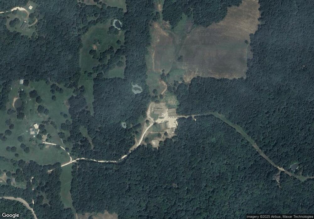
Map
Nearby Homes
- 30.47 Acres Onda Mountain (Wc 213)
- 16293 Arkansas 265
- 16291 S Highway 265
- 15607 Hubbard Rd
- 17952 S Highway 170
- 16977 Holcombe School Rd
- 16891 Holcombe School Rd
- 00 8.86 acres Hubbard Rd
- 00 Hubbard Rd
- 18403 S Highway 170
- 14648 Director Rd
- TBD Zinnamon Church Rd
- 16175 Cove Creek N
- 16175 N Cove Creek Wc 21 Rd
- 18544 Bug Scuffle Rd
- 841 Petit Jean St
- 443 Hall St
- 16380 Cove Creek Rd N
- 13184 Cove Creek Rd N
- 14516 Friendship Church Rd
- 12873 Cattle Bend Rd
- 12996 Cattle Bend Rd
- 17124 Malico Mountain Rd
- 16512 Malico Mountain Rd
- 16740 Malico Mountain Rd
- 16774 Malico Mountain Rd
- 16508 Malico Mountain Rd
- 17062 Malico Mountain Rd
- 16654 Malico Mtn (Cr29)
- 16654 Malico Mountain Rd
- 17100 Malico Mountain Rd
- 16606 Malico Mountain Rd
- 16651 Malico Mountain Rd
- 16087 Malico Mountain Rd
- 16412 Malico Mountain Rd
- 16565 Malico Mountain Rd
- 16252 Malico Mountain Rd
- 17069 Malico Mountain Rd
- 17196 Malico Mountain Rd
- 16951 Dripping Springs