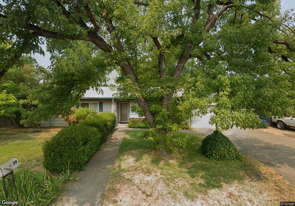
1288 Carter Way Redding, CA 96002
Mistletoe NeighborhoodEstimated Value: $288,000 - $328,000
3
Beds
2
Baths
1,250
Sq Ft
$248/Sq Ft
Est. Value
About This Home
This home is located at 1288 Carter Way, Redding, CA 96002 and is currently estimated at $309,904, approximately $247 per square foot. 1288 Carter Way is a home located in Shasta County with nearby schools including Mistletoe Elementary School, Enterprise High School, and Montessori Children's House of Shady Oaks.
Ownership History
Date
Name
Owned For
Owner Type
Purchase Details
Closed on
Aug 20, 2020
Sold by
Link Josef M and Link Becky H
Bought by
Link Rebecca Mae and Link Josef Milton
Current Estimated Value
Home Financials for this Owner
Home Financials are based on the most recent Mortgage that was taken out on this home.
Original Mortgage
$161,000
Outstanding Balance
$142,552
Interest Rate
2.9%
Mortgage Type
New Conventional
Estimated Equity
$167,352
Purchase Details
Closed on
Jul 10, 1998
Sold by
Franklin Benjamin J and Franklin Christine
Bought by
Link Josef M and Link Becky M
Home Financials for this Owner
Home Financials are based on the most recent Mortgage that was taken out on this home.
Original Mortgage
$86,430
Interest Rate
7%
Mortgage Type
FHA
Create a Home Valuation Report for This Property
The Home Valuation Report is an in-depth analysis detailing your home's value as well as a comparison with similar homes in the area
Home Values in the Area
Average Home Value in this Area
Purchase History
| Date | Buyer | Sale Price | Title Company |
|---|---|---|---|
| Link Rebecca Mae | -- | Fidelity Natl Ttl Co Of Ca | |
| Link Josef M | $87,000 | Redding Title Company |
Source: Public Records
Mortgage History
| Date | Status | Borrower | Loan Amount |
|---|---|---|---|
| Open | Link Rebecca Mae | $161,000 | |
| Closed | Link Josef M | $86,430 | |
| Closed | Link Josef M | $1,698 |
Source: Public Records
Tax History
| Year | Tax Paid | Tax Assessment Tax Assessment Total Assessment is a certain percentage of the fair market value that is determined by local assessors to be the total taxable value of land and additions on the property. | Land | Improvement |
|---|---|---|---|---|
| 2025 | $1,637 | $155,881 | $39,180 | $116,701 |
| 2024 | $1,612 | $152,825 | $38,412 | $114,413 |
| 2023 | $1,612 | $149,829 | $37,659 | $112,170 |
| 2022 | $1,565 | $146,892 | $36,921 | $109,971 |
| 2021 | $1,510 | $144,013 | $36,198 | $107,815 |
| 2020 | $1,502 | $142,537 | $35,827 | $106,710 |
| 2019 | $1,489 | $139,743 | $35,125 | $104,618 |
| 2018 | $1,470 | $137,004 | $34,437 | $102,567 |
| 2017 | $1,494 | $134,318 | $33,762 | $100,556 |
| 2016 | $1,396 | $131,685 | $33,100 | $98,585 |
| 2015 | $1,384 | $129,708 | $32,603 | $97,105 |
| 2014 | $1,373 | $127,168 | $31,965 | $95,203 |
Source: Public Records
Map
Nearby Homes
- 1939 Cameo Ct
- 2093 Victor Ave
- 1285 Lancers Ln
- 1110 Grouse Dr
- 1701 E Cypress Ave
- 1968 Bechelli Ln
- 1088 Burton Dr
- 1556 Minor St
- 2820 Alfreda Way
- 2906 Regal Ave
- 1877 Wheeler St
- 0 Churn Creek Rd Unit 25-496
- 0 Churn Creek Rd Unit 26-609
- 0 Churn Creek Rd Unit 25-5491
- 918 Parsons Dr
- 825 Mission Sierra Ct
- 1026 Palisades Ave
- 856 Mission de Oro Dr
- 2385 Shining Star Way
- 1230 Whistling Dr
- 1260 Norman Dr
- 1312 Carter Way
- 1236 Norman Dr
- 1327 Carter Way
- 1320 Norman Dr
- 1221 Norman Dr
- 1280 Norman Dr
- 1309 Norman Dr
- 1334 Carter Way
- 1265 Norman Dr
- 1835 Forest Glen Ct
- 1267 Dusty Ln
- 1349 Carter Way
- 1821 Forest Glen Ct
- 1243 Norman Dr
- 1352 Norman Dr
- 1849 Forest Glen Ct
- 1261 Dusty Ln
- 1251 Dusty Ln
- 1807 Forest Glen Ct
Your Personal Tour Guide
Ask me questions while you tour the home.