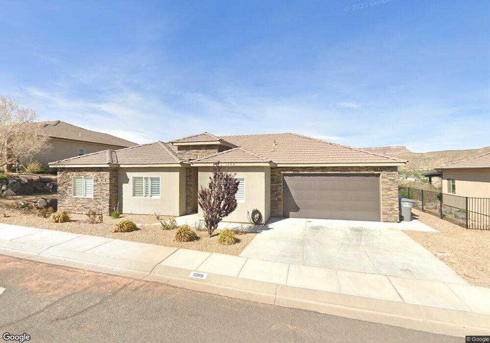
1288 N Main St Unit 47 Hurricane, UT 84737
Estimated Value: $531,636 - $592,000
3
Beds
3
Baths
1,760
Sq Ft
$318/Sq Ft
Est. Value
About This Home
This home is located at 1288 N Main St Unit 47, Hurricane, UT 84737 and is currently estimated at $559,159, approximately $317 per square foot. 1288 N Main St Unit 47 is a home located in Washington County with nearby schools including Hurricane Middle School, Hurricane High School, and Hurricane Elementary School.
Ownership History
Date
Name
Owned For
Owner Type
Purchase Details
Closed on
Oct 2, 2018
Sold by
Dh Real Estate Limited
Bought by
Giorgio Rosanne
Current Estimated Value
Home Financials for this Owner
Home Financials are based on the most recent Mortgage that was taken out on this home.
Original Mortgage
$120,000
Outstanding Balance
$104,647
Interest Rate
4.5%
Mortgage Type
New Conventional
Estimated Equity
$454,512
Purchase Details
Closed on
Oct 29, 2009
Sold by
M E D Family Enterprises Ltd
Bought by
Cb Development Llc
Create a Home Valuation Report for This Property
The Home Valuation Report is an in-depth analysis detailing your home's value as well as a comparison with similar homes in the area
Home Values in the Area
Average Home Value in this Area
Purchase History
| Date | Buyer | Sale Price | Title Company |
|---|---|---|---|
| Giorgio Rosanne | -- | Title Ins Agency Llc | |
| Cb Development Llc | -- | Accommodation |
Source: Public Records
Mortgage History
| Date | Status | Borrower | Loan Amount |
|---|---|---|---|
| Open | Giorgio Rosanne | $120,000 |
Source: Public Records
Tax History Compared to Growth
Tax History
| Year | Tax Paid | Tax Assessment Tax Assessment Total Assessment is a certain percentage of the fair market value that is determined by local assessors to be the total taxable value of land and additions on the property. | Land | Improvement |
|---|---|---|---|---|
| 2025 | $2,014 | $275,605 | $85,965 | $189,640 |
| 2023 | $2,115 | $283,690 | $72,215 | $211,475 |
| 2022 | $2,236 | $281,160 | $61,875 | $219,285 |
| 2021 | $2,041 | $379,400 | $81,300 | $298,100 |
| 2020 | $1,993 | $346,300 | $75,000 | $271,300 |
| 2019 | $2,075 | $349,700 | $75,000 | $274,700 |
| 2018 | $779 | $67,500 | $0 | $0 |
| 2017 | $672 | $56,000 | $0 | $0 |
| 2016 | $693 | $56,000 | $0 | $0 |
| 2015 | $495 | $38,500 | $0 | $0 |
| 2014 | $476 | $38,500 | $0 | $0 |
Source: Public Records
Map
Nearby Homes
- 1195 N 50 W Unit 65
- 1195 N 50 W
- 1173 N 50 E
- 1091 N 100 W
- 599 W 170 S
- 1178 Florence Cir
- 226 E 1100 N
- 273 E 1050 N Unit 21
- 281 E 1050 N
- 1043 N Falcon Ridge View E
- 968 N 300 W
- 1023 N Falcon Ridge View
- 440 W 170 S
- 861 N 300 E
- 0 Hwy 9 - West Side
- 357 E 860 N
- 656 N 120 E
- 656 N 90 E
- 260 W 210 S
- 140 N 500 W
- 1288 N Main St
- 1280 N Main St Unit 46
- 1280 N Main St
- 1296 N Main St
- 1283 N Main St
- 1264 N Main St Unit 45
- 1257 N 50 W
- 1256 N Main St
- 1249 N 50 W Unit 53
- 1249 N 50 W
- 1245 N Main St Unit 86
- 1245 N Main St
- 1246 N 50 W
- 821 N Main St Unit 11
- 1248 N Main St
- 5 Lots Sunset Ridge
- 1238 N 50 W
- 0 50 W
- 50 50 W
- 50 50 W