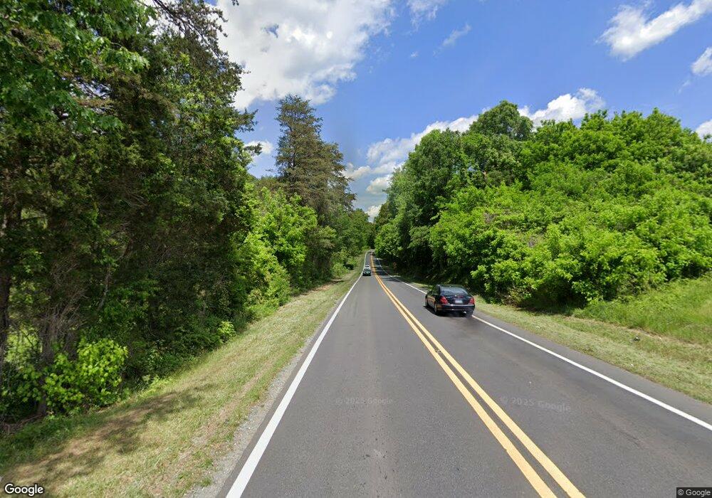
1288 Nc 65 Hwy W Walnut Cove, NC 27052
Estimated Value: $231,000 - $292,581
3
Beds
2
Baths
2,150
Sq Ft
$125/Sq Ft
Est. Value
About This Home
This home is located at 1288 Nc 65 Hwy W, Walnut Cove, NC 27052 and is currently estimated at $267,895, approximately $124 per square foot. 1288 Nc 65 Hwy W is a home located in Stokes County with nearby schools including London Elementary School, Southeastern Stokes Middle School, and South Stokes High.
Ownership History
Date
Name
Owned For
Owner Type
Purchase Details
Closed on
Nov 14, 2024
Sold by
Fannie Mae and Federal National Mortgage Association
Bought by
Lawson Karli and Persinger Logan Cole
Current Estimated Value
Home Financials for this Owner
Home Financials are based on the most recent Mortgage that was taken out on this home.
Original Mortgage
$25,512
Outstanding Balance
$25,258
Interest Rate
6.12%
Mortgage Type
FHA
Estimated Equity
$242,637
Create a Home Valuation Report for This Property
The Home Valuation Report is an in-depth analysis detailing your home's value as well as a comparison with similar homes in the area
Home Values in the Area
Average Home Value in this Area
Purchase History
| Date | Buyer | Sale Price | Title Company |
|---|---|---|---|
| Lawson Karli | -- | Priority Title And Escrow | |
| Lawson Karli | -- | Priority Title And Escrow |
Source: Public Records
Mortgage History
| Date | Status | Borrower | Loan Amount |
|---|---|---|---|
| Open | Lawson Karli | $25,512 | |
| Closed | Lawson Karli | $25,512 |
Source: Public Records
Tax History Compared to Growth
Tax History
| Year | Tax Paid | Tax Assessment Tax Assessment Total Assessment is a certain percentage of the fair market value that is determined by local assessors to be the total taxable value of land and additions on the property. | Land | Improvement |
|---|---|---|---|---|
| 2025 | $2,333 | $326,300 | $27,100 | $299,200 |
| 2024 | $1,883 | $232,500 | $21,300 | $211,200 |
| 2023 | $1,072 | $144,800 | $21,300 | $123,500 |
| 2022 | $1,072 | $144,800 | $21,300 | $123,500 |
| 2021 | $956 | $144,800 | $21,300 | $123,500 |
| 2020 | $853 | $129,200 | $19,800 | $109,400 |
| 2019 | $956 | $129,200 | $19,800 | $109,400 |
| 2018 | $956 | $129,200 | $19,800 | $109,400 |
| 2017 | $950 | $129,200 | $19,800 | $109,400 |
| 2016 | $907 | $123,400 | $19,800 | $103,600 |
| 2015 | $901 | $123,400 | $19,800 | $103,600 |
| 2014 | $916 | $123,400 | $19,800 | $103,600 |
Source: Public Records
Map
Nearby Homes
- 145 Laurel Cliffs Dr Unit C
- 814 Montgomery Ct
- 606 Spring St
- 657 Spring St
- 664 Spring St
- 0 Nc Highway 65 W Unit 1181184
- 0 S Main St
- 0 Piney Mountain Rd Unit 1190099
- 1080 Brookhaven Rd
- 000 Wellhouse Dr
- 7655 Salem Chapel Rd
- 1305 Leake Memorial Church Rd
- 1910 Nc 65 Hwy E
- 1012 Oldtown Rd
- 1251 Baux Mountain Rd
- 7665 Dennis Rd
- 2166 Nc 65 Hwy E
- 0 John Harger Rd
- 1125 N Main St
- 6988 Salem Chapel Rd
- 1308 Nc 65 Hwy W
- 1276 Nc 65 Hwy W
- 1287 Nc 65 Hwy W
- 1020 Hinsdale Rd
- 1222 Nc 65 Hwy W
- 1035 Hinsdale Rd
- 1253 Nc 65 Hwy W
- 1238 Nc 65 Hwy W
- 1346 Nc 65 Hwy W
- 145 Laurel Cliffs Dr Unit B
- 1351 Nc 65 Hwy W
- 1233 Nc 65 Hwy W
- 1360 Nc 65 Hwy W
- 1060 Hinsdale Rd
- 1055 Hinsdale Rd
- 1035 Shady Hollow Dr
- 1221 Nc 65 Hwy W
- 707 Dodson Dr
- 715 Dodson Dr
- 1045 Shady Hollow Dr
