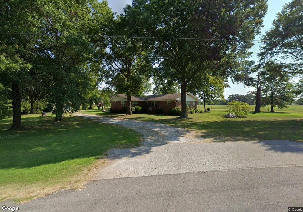
12880 W Highway 72 Bentonville, AR 72712
Estimated Value: $324,455 - $665,000
--
Bed
2
Baths
1,706
Sq Ft
$288/Sq Ft
Est. Value
About This Home
This home is located at 12880 W Highway 72, Bentonville, AR 72712 and is currently estimated at $491,114, approximately $287 per square foot. 12880 W Highway 72 is a home located in Benton County with nearby schools including Glenn Duffy Elementary School, Gravette Upper Elementary School, and Gravette Middle School.
Ownership History
Date
Name
Owned For
Owner Type
Purchase Details
Closed on
Apr 22, 2014
Sold by
Cowgur George and Cowgur Vernita
Bought by
Cowgur George and Cowgur Vernita
Current Estimated Value
Purchase Details
Closed on
May 6, 1975
Bought by
Cowgur
Purchase Details
Closed on
Mar 12, 1973
Bought by
Cowgur Geo Wm and Vernita Lee
Purchase Details
Closed on
Mar 15, 1963
Bought by
Cowgur
Purchase Details
Closed on
Feb 4, 1963
Bought by
Cowgur
Purchase Details
Closed on
Nov 3, 1947
Bought by
Cowgur
Purchase Details
Closed on
Sep 11, 1947
Bought by
Cowgur
Create a Home Valuation Report for This Property
The Home Valuation Report is an in-depth analysis detailing your home's value as well as a comparison with similar homes in the area
Home Values in the Area
Average Home Value in this Area
Purchase History
| Date | Buyer | Sale Price | Title Company |
|---|---|---|---|
| Cowgur George | -- | None Available | |
| Cowgur | $3,000 | -- | |
| Cowgur Geo Wm | -- | -- | |
| Cowgur | -- | -- | |
| Cowgur | -- | -- | |
| Cowgur | $1,000 | -- | |
| Cowgur | -- | -- |
Source: Public Records
Tax History Compared to Growth
Tax History
| Year | Tax Paid | Tax Assessment Tax Assessment Total Assessment is a certain percentage of the fair market value that is determined by local assessors to be the total taxable value of land and additions on the property. | Land | Improvement |
|---|---|---|---|---|
| 2025 | $985 | $57,169 | $17,739 | $39,430 |
| 2024 | $957 | $57,169 | $17,739 | $39,430 |
| 2023 | $956 | $36,470 | $5,410 | $31,060 |
| 2022 | $635 | $36,470 | $5,410 | $31,060 |
| 2021 | $632 | $36,470 | $5,410 | $31,060 |
| 2020 | $635 | $25,060 | $2,880 | $22,180 |
| 2019 | $635 | $25,060 | $2,880 | $22,180 |
| 2018 | $660 | $25,060 | $2,880 | $22,180 |
| 2017 | $606 | $25,060 | $2,880 | $22,180 |
| 2016 | $606 | $25,060 | $2,880 | $22,180 |
| 2015 | $957 | $23,530 | $2,060 | $21,470 |
| 2014 | $607 | $23,530 | $2,060 | $21,470 |
Source: Public Records
Map
Nearby Homes
- 0 Arkansas 72
- 12923 Galyean Rd
- 8 Topcliffe Ln
- 12610 Bullock Rd
- 29 Halford Ln
- 27 Topcliffe Ln
- 12658 Bullock Rd
- 3750 Whitefish St
- TBD Bullock Rd
- 3760 Bitterroot St
- 9 Hexham Dr
- 3731 Bitterroot St
- Lot 3 of Block 5 Padbury Dr
- Lot 2 of Block 4 Padbury Dr
- 3610 Bridger Ln
- 11982 Arkansas 72
- 3621 Bearpaw Path
- 3601 Beaverhead Way
- Lot 12 Block 5 Halford Cir
- 3620 Bearpaw Path
- 12889 W Highway 72
- 12841 W Highway 72
- 12903 Highway 72 W
- 12841 Highway 72 W
- 12904 Highway 72 W
- 12863 Highway 72 W
- 12863 Highway 72 W
- 12700 W Highway 72
- 12907 W Highway 72
- 12488 Highway 72 W
- 12950 Banks Ln
- 12442 W Highway 72
- 12442 W Hwy 72
- 12906 Banks Ln
- 12906 Banks Ln
- 12405 W Highway 72
- 0 Banks Ln Unit 599353
- 0 Banks Ln Unit 690951
- 0 Banks Ln Unit 722413
- 0 Banks Ln Unit 1059777