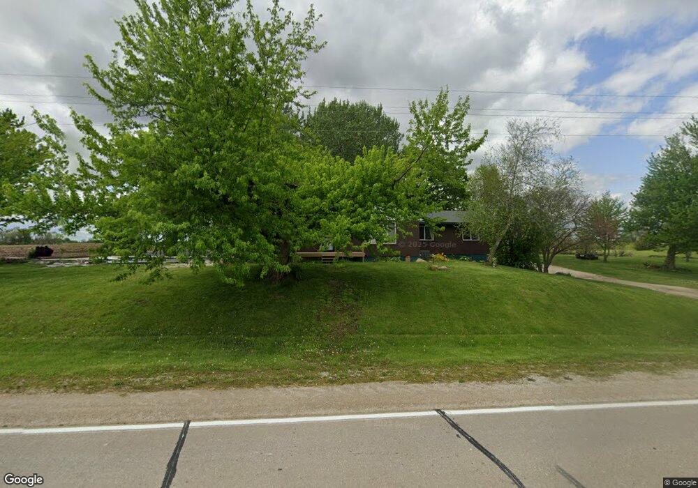
1289 280th Ave West Point, IA 52656
Estimated Value: $233,000 - $312,917
5
Beds
1
Bath
1,824
Sq Ft
$151/Sq Ft
Est. Value
About This Home
This home is located at 1289 280th Ave, West Point, IA 52656 and is currently estimated at $275,479, approximately $151 per square foot. 1289 280th Ave is a home with nearby schools including Fort Madison High School.
Ownership History
Date
Name
Owned For
Owner Type
Purchase Details
Closed on
Oct 12, 2016
Sold by
Beelman Denna and Smith Denna
Bought by
Nelson Vincent W and Nelson Heather M
Current Estimated Value
Home Financials for this Owner
Home Financials are based on the most recent Mortgage that was taken out on this home.
Original Mortgage
$180,000
Interest Rate
3.42%
Mortgage Type
Closed End Mortgage
Create a Home Valuation Report for This Property
The Home Valuation Report is an in-depth analysis detailing your home's value as well as a comparison with similar homes in the area
Home Values in the Area
Average Home Value in this Area
Purchase History
| Date | Buyer | Sale Price | Title Company |
|---|---|---|---|
| Nelson Vincent W | -- | None Available |
Source: Public Records
Mortgage History
| Date | Status | Borrower | Loan Amount |
|---|---|---|---|
| Previous Owner | Nelson Vincent W | $180,000 |
Source: Public Records
Tax History Compared to Growth
Tax History
| Year | Tax Paid | Tax Assessment Tax Assessment Total Assessment is a certain percentage of the fair market value that is determined by local assessors to be the total taxable value of land and additions on the property. | Land | Improvement |
|---|---|---|---|---|
| 2025 | $2,796 | $270,010 | $40,980 | $229,030 |
| 2024 | $2,796 | $218,740 | $40,980 | $177,760 |
| 2023 | $2,532 | $218,740 | $40,980 | $177,760 |
| 2022 | $2,186 | $166,060 | $32,200 | $133,860 |
| 2021 | $2,186 | $166,060 | $32,200 | $133,860 |
| 2020 | $2,140 | $150,780 | $34,130 | $116,650 |
| 2019 | $2,074 | $150,780 | $34,130 | $116,650 |
| 2018 | $2,152 | $142,250 | $0 | $0 |
| 2017 | $2,152 | $136,460 | $0 | $0 |
| 2016 | $1,974 | $136,460 | $0 | $0 |
| 2015 | $1,974 | $130,260 | $0 | $0 |
| 2014 | $1,838 | $130,260 | $0 | $0 |
Source: Public Records
Map
Nearby Homes
- 809 Houston Ave
- 10161 Jimtown Rd
- 5164 Augusta Main Rd
- 910 Avenue D
- 2280 Windmill Way
- 2532 305th St
- 406 Center St
- 203 & 205-207 Center St
- 210 Louisiana St
- 208 Louisiana St
- 200 Louisiana St
- 3035 New London Rd
- 2042 St Paul 2nd St
- 1684 345th Ave
- 2257 Burt Rd
- 1910 S Highway 61
- 3026 County Road 103
- 74 A Green Bay Rd
- 2794 221st St
- RR Woodland Heights Ct
- 1276 280th Ave
- 0 280 Th Unit 25117547
- 0 280 Th Unit 5426133
- 1271 280th Ave
- 1288 280th Ave
- 1249 280th Ave
- 1235 280th Ave
- 1228 280th Ave
- 1268 272nd Ave
- 1224 280th Ave
- 1274 272nd Ave
- 1296 272nd Ave
- 1215 280th Ave
- 0 272nd Ave
- 2792 120th St
- 1202 280th Ave
- 1344 272nd Ave
- 1198 280th Ave
- 2771 120th St
- 2757 Highway 16