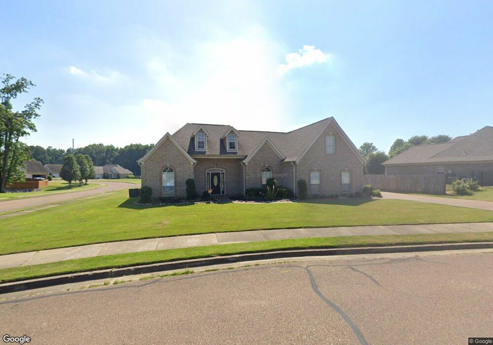
1289 Green T Dr S Hernando, MS 38632
Estimated Value: $350,000 - $457,000
4
Beds
3
Baths
2,980
Sq Ft
$132/Sq Ft
Est. Value
About This Home
This home is located at 1289 Green T Dr S, Hernando, MS 38632 and is currently estimated at $392,597, approximately $131 per square foot. 1289 Green T Dr S is a home located in DeSoto County with nearby schools including Oak Grove Central Elementary School, Hernando Hills Elementary, and Hernando Elementary School.
Ownership History
Date
Name
Owned For
Owner Type
Purchase Details
Closed on
Jun 15, 2012
Sold by
Bancorpsouth Bank
Bought by
Anderson Rentals Llc
Current Estimated Value
Purchase Details
Closed on
May 23, 2012
Sold by
B & S Homes Llc
Bought by
Bancorpsouth Bank
Create a Home Valuation Report for This Property
The Home Valuation Report is an in-depth analysis detailing your home's value as well as a comparison with similar homes in the area
Home Values in the Area
Average Home Value in this Area
Purchase History
| Date | Buyer | Sale Price | Title Company |
|---|---|---|---|
| Anderson Rentals Llc | -- | First National Title Llc | |
| Bancorpsouth Bank | $195,000 | None Available |
Source: Public Records
Tax History
| Year | Tax Paid | Tax Assessment Tax Assessment Total Assessment is a certain percentage of the fair market value that is determined by local assessors to be the total taxable value of land and additions on the property. | Land | Improvement |
|---|---|---|---|---|
| 2025 | $4,458 | $38,267 | $5,250 | $33,017 |
| 2024 | $3,892 | $28,052 | $5,250 | $22,802 |
| 2023 | $3,892 | $28,052 | $0 | $0 |
| 2022 | $3,892 | $28,052 | $5,250 | $22,802 |
| 2021 | $3,892 | $28,052 | $5,250 | $22,802 |
| 2020 | $3,637 | $26,213 | $5,250 | $20,963 |
| 2019 | $3,637 | $26,213 | $5,250 | $20,963 |
| 2017 | $3,727 | $48,200 | $26,725 | $21,475 |
| 2016 | $3,571 | $26,725 | $5,250 | $21,475 |
| 2015 | $3,571 | $48,200 | $26,725 | $21,475 |
| 2014 | $3,486 | $26,725 | $0 | $0 |
| 2013 | $3,575 | $26,725 | $0 | $0 |
Source: Public Records
Map
Nearby Homes
- 5267 Reserve Way
- 2197 Hyacinth Ln
- 3066 Meadows Way
- 1254 Creekside Ln
- 665 Cedar Grove Cove
- 833 Martin Cir N
- 1567 Eden Loop
- 1705 Cedar Lake Cove
- 1106 Fawn Dr
- 990 Eagle Ridge Cove
- 208 Elkwood Ln
- 1123 Tara Dr
- 124 Pebble Creek Cove E
- 1231 Cross Creek Dr E
- 723 Fairway Trail
- 69 Lake Pointe Dr
- 136 N Parkway St
- 120 N Parkway St
- 1280 S Lake Dr
- 270 Gaslight Cove
- 1270 Green T Dr S
- 1269 Green T Dr S
- 638 Bending Oak N
- 1251 Green T Dr S
- 645 Bending Oak N
- 1256 Green T Dr S
- 1300 Grove Park Office Dr
- 662 Bending Oak N
- 1248 Green T Dr S
- 604 Bending Oak Cir
- 663 Bending Oak N
- 4 Grove Park Dr Unit Office
- 3 Grove Park Dr Unit Office
- 2 Grove Park Dr Unit Office
- 1271 Grove Park Office Dr
- 4 Grove Park Dr
- 3 Grove Park Dr
- 2 Grove Park Dr
- 1233 Green T Dr S
- 680 Bending Oak N
Your Personal Tour Guide
Ask me questions while you tour the home.