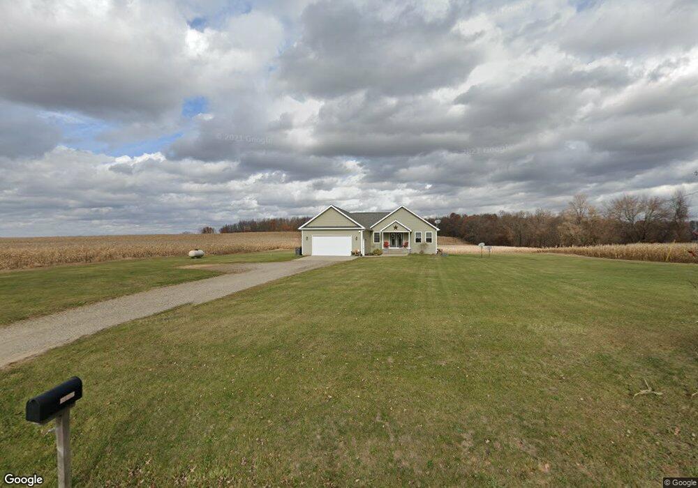
12899 A Dr S Ceresco, MI 49033
Estimated Value: $384,477 - $486,000
2
Beds
2
Baths
1,884
Sq Ft
$227/Sq Ft
Est. Value
About This Home
This home is located at 12899 A Dr S, Ceresco, MI 49033 and is currently estimated at $428,369, approximately $227 per square foot. 12899 A Dr S is a home located in Calhoun County with nearby schools including Harrington Elementary School and Marshall High School.
Ownership History
Date
Name
Owned For
Owner Type
Purchase Details
Closed on
May 29, 2015
Sold by
Allard Cathy L
Bought by
Allard Kevin D and Allard Cathy L
Current Estimated Value
Home Financials for this Owner
Home Financials are based on the most recent Mortgage that was taken out on this home.
Original Mortgage
$236,440
Interest Rate
3.65%
Mortgage Type
New Conventional
Purchase Details
Closed on
Jan 30, 2015
Sold by
Day Sandra J and Day Terry R
Bought by
Allard Cathy L
Purchase Details
Closed on
Nov 16, 2006
Sold by
Day Terry R
Bought by
Allard Cathy L
Create a Home Valuation Report for This Property
The Home Valuation Report is an in-depth analysis detailing your home's value as well as a comparison with similar homes in the area
Home Values in the Area
Average Home Value in this Area
Purchase History
| Date | Buyer | Sale Price | Title Company |
|---|---|---|---|
| Allard Kevin D | -- | Attorney | |
| Allard Cathy L | -- | None Available | |
| Allard Cathy L | -- | None Available |
Source: Public Records
Mortgage History
| Date | Status | Borrower | Loan Amount |
|---|---|---|---|
| Closed | Allard Kevin D | $236,440 |
Source: Public Records
Tax History
| Year | Tax Paid | Tax Assessment Tax Assessment Total Assessment is a certain percentage of the fair market value that is determined by local assessors to be the total taxable value of land and additions on the property. | Land | Improvement |
|---|---|---|---|---|
| 2025 | $3,926 | $190,900 | $0 | $0 |
| 2024 | $3,619 | $172,600 | $0 | $0 |
| 2023 | $3,619 | $143,300 | $0 | $0 |
| 2022 | $3,619 | $130,300 | $0 | $0 |
| 2021 | $3,619 | $124,400 | $0 | $0 |
| 2020 | $3,619 | $120,300 | $0 | $0 |
| 2019 | $3,471 | $111,700 | $0 | $0 |
| 2018 | $0 | $108,700 | $11,400 | $97,300 |
| 2017 | $0 | $110,800 | $0 | $0 |
| 2016 | $0 | $106,100 | $0 | $0 |
| 2015 | -- | $95,500 | $21,227 | $74,273 |
| 2014 | -- | $90,700 | $21,227 | $69,473 |
Source: Public Records
Map
Nearby Homes
- 71 Kristin Dr
- 11253 Wildwood Dr
- 12500 11 Mile Rd
- 12 Mile Rd
- 14880 C Dr S
- 275 Battle Creek St
- 11754 E Dr N
- 0 15 1 2 Mile Rd Unit 25024661
- 10660 D Dr S
- V/L Cedar Lake
- 216 Winston Dr
- 218 Winston Dr
- 15143 H Dr S
- 109 N Fountain St
- 119 Greenfield Blvd
- 11173 I Dr S
- 15627 13 Mile Rd
- 1060 S Kalamazoo Ave
- 1048 S Kalamazoo Ave
- 0 N F Dr Unit 23021090
Your Personal Tour Guide
Ask me questions while you tour the home.