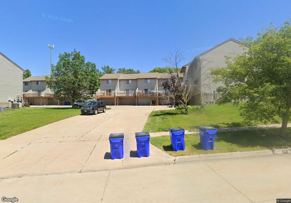
128G Northridge Dr West Branch, IA 52358
Estimated Value: $134,175 - $160,000
2
Beds
1
Bath
1,048
Sq Ft
$140/Sq Ft
Est. Value
About This Home
This home is located at 128G Northridge Dr, West Branch, IA 52358 and is currently estimated at $146,294, approximately $139 per square foot. 128G Northridge Dr is a home located in Cedar County with nearby schools including Hoover Elementary School, West Branch Middle School, and West Branch High School.
Ownership History
Date
Name
Owned For
Owner Type
Purchase Details
Closed on
Aug 20, 2011
Sold by
Lynch Patrick L
Bought by
Bowers Ryan W
Current Estimated Value
Home Financials for this Owner
Home Financials are based on the most recent Mortgage that was taken out on this home.
Original Mortgage
$92,331
Outstanding Balance
$63,531
Interest Rate
4.59%
Mortgage Type
New Conventional
Estimated Equity
$82,763
Create a Home Valuation Report for This Property
The Home Valuation Report is an in-depth analysis detailing your home's value as well as a comparison with similar homes in the area
Home Values in the Area
Average Home Value in this Area
Purchase History
| Date | Buyer | Sale Price | Title Company |
|---|---|---|---|
| Bowers Ryan W | $99,000 | None Available |
Source: Public Records
Mortgage History
| Date | Status | Borrower | Loan Amount |
|---|---|---|---|
| Open | Bowers Ryan W | $92,331 |
Source: Public Records
Tax History Compared to Growth
Tax History
| Year | Tax Paid | Tax Assessment Tax Assessment Total Assessment is a certain percentage of the fair market value that is determined by local assessors to be the total taxable value of land and additions on the property. | Land | Improvement |
|---|---|---|---|---|
| 2025 | $2,210 | $134,770 | $9,990 | $124,780 |
| 2024 | $2,210 | $130,080 | $9,990 | $120,090 |
| 2023 | $2,124 | $126,520 | $9,990 | $116,530 |
| 2022 | $1,966 | $101,670 | $7,990 | $93,680 |
| 2021 | $2,058 | $101,670 | $7,990 | $93,680 |
| 2020 | $1,994 | $101,670 | $7,990 | $93,680 |
| 2019 | $1,828 | $100,220 | $0 | $0 |
| 2018 | $1,790 | $100,220 | $0 | $0 |
| 2017 | $1,780 | $93,470 | $0 | $0 |
| 2016 | $1,772 | $93,470 | $0 | $0 |
| 2015 | $1,682 | $88,350 | $0 | $0 |
| 2014 | $1,452 | $88,350 | $0 | $0 |
Source: Public Records
Map
Nearby Homes
- 121 Northridge Dr Unit 121-139
- 426 N 1st St
- 521 N 4th St Unit Louise Court Condos
- 557 N 4th St
- 3 Grant St Unit GR3
- 33 Lou Henry Ln Unit AM33
- 35 Lou Henry Ln Unit AM35
- 127 N Downey St
- 120 N Downey St
- 63 Eisenhower St Unit GB63
- 27 Bradley Ln Unit AC27
- 12 Bradley Ln Unit AB12
- 316 S Maple St
- 168 290th St
- 360 Cookson Dr
- 609 W Orange St
- 611 Riley Ln
- T.B.D. 275th St
- 314 Sycamore Dr
- 312 Sycamore Dr
- 128 Northridge Dr
- 128 Northridge Dr Unit G
- 130 Northridge Dr
- 132E Northridge Dr
- 126H Northridge Dr
- 106 Northridge Dr
- 104 Northridge Dr
- 191 Northridge Dr
- 110 Northridge Dr
- 199 Northridge Dr
- 120 Northridge Dr
- 183 Northridge Dr
- 108 Northridge Dr
- 102 Northridge Dr
- 124 Northridge Dr
- 114 Northridge Dr
- 122 Northridge Dr
- 116 Northridge Dr
- 175 Northridge Dr
- 118 Northridge Dr