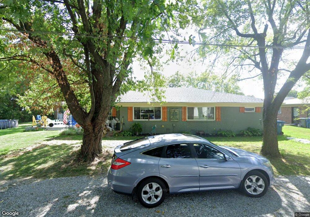
129-139 Collings St Cicero, IN 46034
Estimated Value: $246,000 - $275,000
2
Beds
1
Bath
1,724
Sq Ft
$151/Sq Ft
Est. Value
About This Home
This home is located at 129-139 Collings St, Cicero, IN 46034 and is currently estimated at $260,021, approximately $150 per square foot. 129-139 Collings St is a home located in Hamilton County with nearby schools including Hamilton Heights Primary School, Hamilton Heights Elementary School, and Hamilton Heights Middle School.
Ownership History
Date
Name
Owned For
Owner Type
Purchase Details
Closed on
Jul 13, 2018
Sold by
Galt Stephanie S and Galt David M
Bought by
Galt David M
Current Estimated Value
Purchase Details
Closed on
Apr 26, 2006
Sold by
Galt Stephanie
Bought by
Galt David M and Galt Stephanie
Purchase Details
Closed on
Feb 25, 2005
Sold by
Madio Properties Llc
Bought by
Galt Stephanie
Home Financials for this Owner
Home Financials are based on the most recent Mortgage that was taken out on this home.
Original Mortgage
$88,000
Outstanding Balance
$44,577
Interest Rate
5.8%
Mortgage Type
Purchase Money Mortgage
Estimated Equity
$215,444
Purchase Details
Closed on
Dec 4, 2003
Sold by
Stratton Charles W and Stratton Kelly S
Bought by
Madjo Properties Llc
Purchase Details
Closed on
Jun 13, 2001
Sold by
Wright Fredrick A and Wright Marylee
Bought by
Stratton Charles W and Stratton Kelly S
Home Financials for this Owner
Home Financials are based on the most recent Mortgage that was taken out on this home.
Original Mortgage
$70,000
Interest Rate
7.11%
Mortgage Type
Purchase Money Mortgage
Create a Home Valuation Report for This Property
The Home Valuation Report is an in-depth analysis detailing your home's value as well as a comparison with similar homes in the area
Home Values in the Area
Average Home Value in this Area
Purchase History
| Date | Buyer | Sale Price | Title Company |
|---|---|---|---|
| Galt David M | -- | None Available | |
| Galt David M | -- | None Available | |
| Galt Stephanie | -- | Ctic Statesmen | |
| Madjo Properties Llc | -- | -- | |
| Stratton Charles W | -- | -- | |
| Wright Fredrick A | -- | -- |
Source: Public Records
Mortgage History
| Date | Status | Borrower | Loan Amount |
|---|---|---|---|
| Open | Galt Stephanie | $88,000 | |
| Previous Owner | Stratton Charles W | $70,000 |
Source: Public Records
Tax History Compared to Growth
Tax History
| Year | Tax Paid | Tax Assessment Tax Assessment Total Assessment is a certain percentage of the fair market value that is determined by local assessors to be the total taxable value of land and additions on the property. | Land | Improvement |
|---|---|---|---|---|
| 2024 | $1,790 | $201,400 | $25,300 | $176,100 |
| 2023 | $1,354 | $166,200 | $25,300 | $140,900 |
| 2022 | $1,706 | $195,400 | $54,500 | $140,900 |
| 2021 | $1,706 | $176,400 | $54,500 | $121,900 |
| 2020 | $1,370 | $150,100 | $38,800 | $111,300 |
| 2019 | $2,824 | $141,200 | $21,500 | $119,700 |
| 2018 | $3,977 | $128,700 | $21,500 | $107,200 |
| 2017 | $3,953 | $127,500 | $21,500 | $106,000 |
| 2016 | $3,839 | $127,500 | $21,500 | $106,000 |
| 2014 | $2,366 | $118,300 | $21,500 | $96,800 |
| 2013 | $2,366 | $118,300 | $21,500 | $96,800 |
Source: Public Records
Map
Nearby Homes
- 140 Wiley St
- 70 Armitage St
- 600 Lakeview Ln
- 999 Shoreline Cir
- 100 Confidential Dr
- 18 Point Ln
- 31 Bluewater Dr
- 14 Morse Ct
- 15 Morse Ct
- 826 N Lanyard Dr
- 1209 Half Moon Ln
- 243 Alvor Ct
- 29 Point Ln
- 1689 Nantucket Dr
- 815 Morse Landing Dr
- 1940 Nantucket Dr
- 131 Batteese Dr
- 221 Common Loon Blvd
- 24 Karner Blue Ct
- 27 Karner Blue Ct
- 139 Collings St
- 129 Collings St
- 149 Collings St
- 290 Byron St
- 120 W Neal St
- 130 W Neal St
- 270 Byron St S
- 270 S Byron St
- 150 W Neal St
- 279 Byron St
- 309 Washington Ave
- 180 W Neal St
- 115 W Neal St
- 349 Washington Ave
- 220 S Byron St
- 129 W Neal St
- 115 Neal St W
- 299 Washington Ave
- 370 S Peru St
- 139 Neal St W